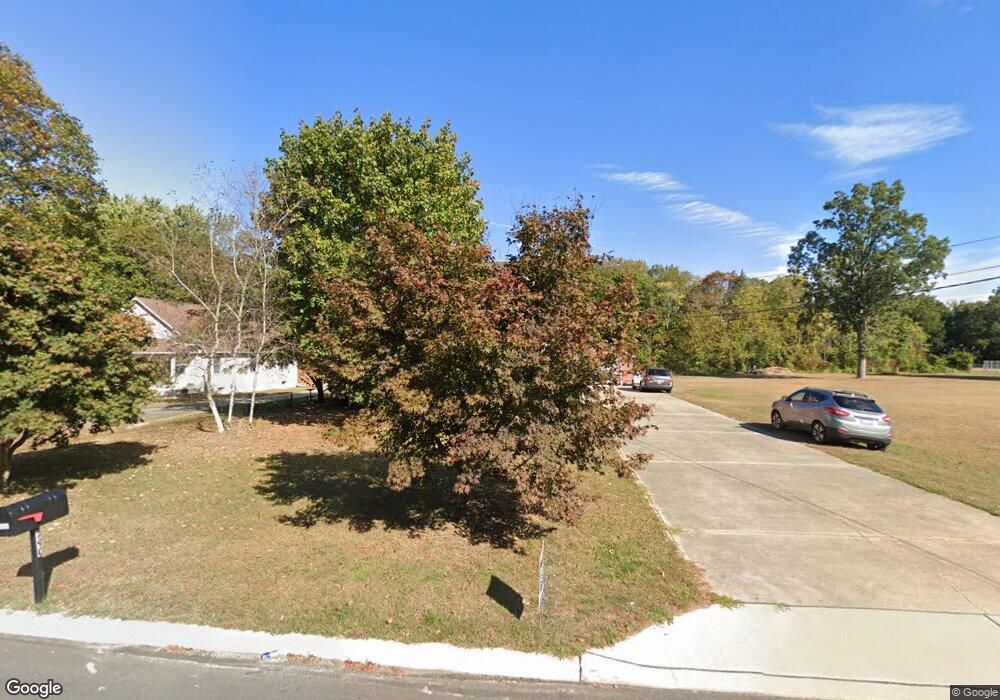
790 W Wheat Rd Vineland, NJ 08360
Estimated Value: $284,538 - $358,000
--
Bed
--
Bath
1,396
Sq Ft
$227/Sq Ft
Est. Value
About This Home
This home is located at 790 W Wheat Rd, Vineland, NJ 08360 and is currently estimated at $316,885, approximately $226 per square foot. 790 W Wheat Rd is a home located in Cumberland County with nearby schools including Marie D. Durand Elementary School, T.W. Wallace Middle School, and Vineland Senior High School.
Ownership History
Date
Name
Owned For
Owner Type
Purchase Details
Closed on
Oct 30, 2018
Sold by
Didomenico Gail A
Bought by
Mancus Chrsteher A and Mancus Dina A
Current Estimated Value
Purchase Details
Closed on
Aug 28, 1996
Sold by
Nestler George and Nestler Rose
Bought by
Arcangeli Dina and Mancus Christopher A
Create a Home Valuation Report for This Property
The Home Valuation Report is an in-depth analysis detailing your home's value as well as a comparison with similar homes in the area
Home Values in the Area
Average Home Value in this Area
Purchase History
| Date | Buyer | Sale Price | Title Company |
|---|---|---|---|
| Mancus Chrsteher A | $35,000 | -- | |
| Arcangeli Dina | $83,000 | Homestead Title Agency |
Source: Public Records
Tax History Compared to Growth
Tax History
| Year | Tax Paid | Tax Assessment Tax Assessment Total Assessment is a certain percentage of the fair market value that is determined by local assessors to be the total taxable value of land and additions on the property. | Land | Improvement |
|---|---|---|---|---|
| 2025 | $6,725 | $211,200 | $33,800 | $177,400 |
| 2024 | $6,725 | $211,200 | $33,800 | $177,400 |
| 2023 | $6,680 | $211,200 | $33,800 | $177,400 |
| 2022 | $6,482 | $211,200 | $33,800 | $177,400 |
| 2021 | $6,363 | $211,200 | $33,800 | $177,400 |
| 2020 | $6,182 | $211,200 | $33,800 | $177,400 |
| 2019 | $6,097 | $211,200 | $33,800 | $177,400 |
| 2018 | $5,937 | $211,200 | $33,800 | $177,400 |
| 2017 | $5,623 | $210,600 | $33,800 | $176,800 |
| 2016 | $5,425 | $210,600 | $33,800 | $176,800 |
| 2015 | $5,225 | $210,600 | $33,800 | $176,800 |
| 2014 | $4,941 | $210,600 | $33,800 | $176,800 |
Source: Public Records
Map
Nearby Homes
- 1489 N Delsea Dr
- 1811 N Delsea Dr Unit 4
- 1887 N Delsea Dr Unit 135 HOLLY HOCK DR.
- 1887 N Delsea Dr Unit 19
- 1887 N Delsea Dr Unit 39
- 663 Wayne Ave
- 2246 N West Ave
- 811 W Garden Rd
- 1252 W Oak Rd
- 829 W Garden Rd
- 225 Laurel St
- 550 Northwest Ave
- 1267 N East Blvd Unit 16C
- 317 Oxford St
- 1267 Northeast Blvd
- 733 W Forest Grove Rd
- 659 W Forest Grove Rd
- 1976 N East Ave Unit 249
- 1976 N East Ave Unit 233
- 1976 N East Ave Unit 191
- 826 W Wheat Rd
- 777 W Wheat Rd
- 759 W Wheat Rd
- 746 W Wheat Rd
- 741 W Wheat Rd
- 831 W Wheat Rd
- 727 W Wheat Rd
- 707 W Wheat Rd
- 700 W Wheat Rd
- 1579 N Delsea Dr
- 1665 N Delsea Dr
- 1601 N Delsea Dr
- 689 W Wheat Rd Unit 2
- 689 W Wheat Rd
- 1715 N Delsea Dr
- 666 W Wheat Rd
- 663 W Wheat Rd
- 1755 N Delsea Dr
- 634 W Wheat Rd
- 1710 N Delsea Dr