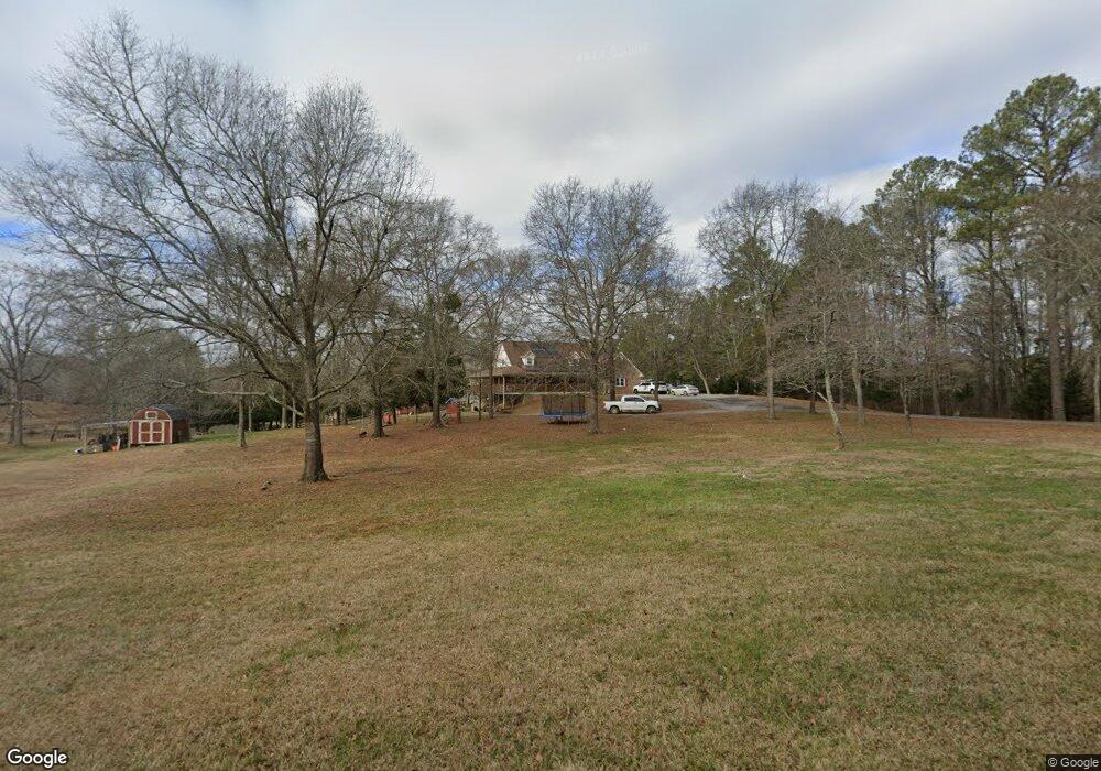
790 Wilson Rd Cedartown, GA 30125
Estimated Value: $499,000 - $700,274
3
Beds
3
Baths
2,321
Sq Ft
$258/Sq Ft
Est. Value
About This Home
This home is located at 790 Wilson Rd, Cedartown, GA 30125 and is currently estimated at $599,637, approximately $258 per square foot. 790 Wilson Rd is a home located in Polk County.
Ownership History
Date
Name
Owned For
Owner Type
Purchase Details
Closed on
May 6, 2025
Sold by
Davis Jay Vann
Bought by
Davis Alan Jay
Current Estimated Value
Purchase Details
Closed on
Feb 4, 2021
Sold by
Davis Jay Vann
Bought by
Davis James Whitson and Colosky Sheree Marie
Purchase Details
Closed on
Jul 9, 2005
Sold by
Davis I Elsie
Bought by
Davis Jay Vann
Purchase Details
Closed on
Jan 14, 2005
Sold by
Davis Elsie Imo
Bought by
Davis Jay Van As Exec For Elsie Imo Davi
Purchase Details
Closed on
Mar 10, 1998
Sold by
Davis Elsie I Executrix
Bought by
Davis Elsie I
Purchase Details
Closed on
Dec 15, 1997
Sold by
Davis James W
Bought by
Davis Elsie I Executrix
Purchase Details
Closed on
Jun 26, 1989
Sold by
William Benefield
Bought by
Davis James W
Create a Home Valuation Report for This Property
The Home Valuation Report is an in-depth analysis detailing your home's value as well as a comparison with similar homes in the area
Home Values in the Area
Average Home Value in this Area
Purchase History
| Date | Buyer | Sale Price | Title Company |
|---|---|---|---|
| Davis Alan Jay | -- | -- | |
| Davis James Whitson | -- | -- | |
| Davis Jay Vann | -- | -- | |
| Davis Jay Van As Exec For Elsie Imo Davi | -- | -- | |
| Davis Elsie I | -- | -- | |
| Davis Elsie I Executrix | -- | -- | |
| Davis James W | $67,700 | -- | |
| William Benefield | $101,700 | -- |
Source: Public Records
Tax History Compared to Growth
Tax History
| Year | Tax Paid | Tax Assessment Tax Assessment Total Assessment is a certain percentage of the fair market value that is determined by local assessors to be the total taxable value of land and additions on the property. | Land | Improvement |
|---|---|---|---|---|
| 2024 | $4,394 | $210,216 | $71,762 | $138,454 |
| 2023 | $3,968 | $167,188 | $71,762 | $95,426 |
| 2022 | $3,492 | $147,147 | $62,485 | $84,662 |
| 2021 | $3,588 | $149,234 | $64,572 | $84,662 |
| 2020 | $3,594 | $149,194 | $64,572 | $84,622 |
| 2019 | $3,419 | $127,299 | $59,106 | $68,193 |
| 2018 | $3,407 | $123,633 | $59,106 | $64,527 |
| 2017 | $3,364 | $123,633 | $59,106 | $64,527 |
| 2016 | $2,736 | $100,544 | $38,798 | $61,746 |
| 2015 | $2,819 | $103,294 | $38,798 | $64,496 |
| 2014 | $2,840 | $103,294 | $38,798 | $64,496 |
Source: Public Records
Map
Nearby Homes
- 0 Judkin Mill Rd Unit LotWP001 19369404
- 966 Judkin Mill Rd
- 9236 Tallapoosa Hwy
- 0 Wieuca Way Unit 10614129
- 000 Wieuca Way
- 142 Acres On Judkin Mill Rd
- 1789 Johnson Lake Rd
- 240 Benedict Loop
- 1810 Piedmont Hwy
- 1806 Piedmont Hwy
- 95 Wieuca Way
- 00 Cornelius Rd
- 00 Buchanan Hwy
- 1719 Tallapoosa Hwy
- 45 York Cir
- 0 Akes Station Rd Unit 25208781
- 0 Akes Station Rd Unit 25208783
- 0 Akes Station Rd Unit 25208784
- 0 Akes Station Rd Unit 25208785
- 0 Akes Station Rd Unit 25208782
- 797 Wilson Rd
- 764 Wilson Rd
- 826 Wilson Rd
- 856 Wilson Rd
- 875 Sewell Creek Rd
- 850 Wilson Rd
- 705 Wilson Rd
- 715 Wilson Rd
- 662 Wilson Rd
- 854 Wilson Rd
- 568 Wilson Rd
- 542 Wilson Rd
- 538 Wilson Rd
- 526 Wilson Rd
- 566 Wilson Rd
- 199 Highland Meadows Rd
- 180 Highland Meadows Rd
- 149 Highland Meadows Rd
- 250 Heard Rd
- 250 Heard Rd