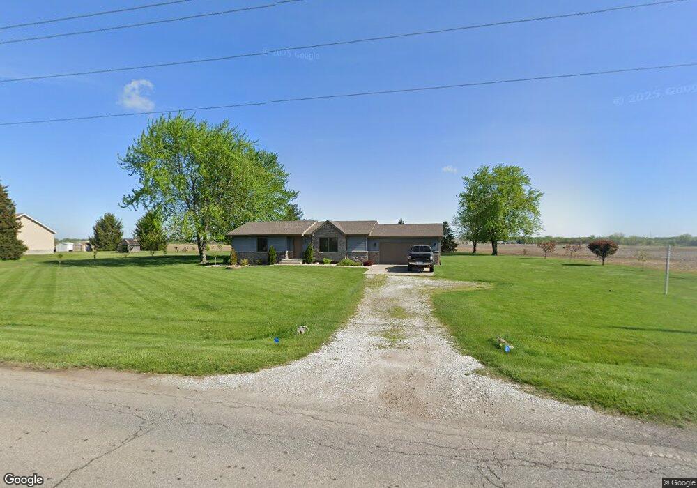
7902 W 101st Ave Crown Point, IN 46307
Saint John NeighborhoodEstimated Value: $289,410 - $363,000
2
Beds
2
Baths
1,103
Sq Ft
$289/Sq Ft
Est. Value
About This Home
This home is located at 7902 W 101st Ave, Crown Point, IN 46307 and is currently estimated at $318,353, approximately $288 per square foot. 7902 W 101st Ave is a home located in Lake County with nearby schools including Kolling Elementary School, Hal E Clark Middle School, and Lake Central High School.
Ownership History
Date
Name
Owned For
Owner Type
Purchase Details
Closed on
Sep 23, 2011
Sold by
Doffin Ralph E and Doffin Alice E
Bought by
Willy David J
Current Estimated Value
Home Financials for this Owner
Home Financials are based on the most recent Mortgage that was taken out on this home.
Original Mortgage
$139,650
Outstanding Balance
$54,421
Interest Rate
4.32%
Mortgage Type
New Conventional
Estimated Equity
$263,932
Create a Home Valuation Report for This Property
The Home Valuation Report is an in-depth analysis detailing your home's value as well as a comparison with similar homes in the area
Home Values in the Area
Average Home Value in this Area
Purchase History
| Date | Buyer | Sale Price | Title Company |
|---|---|---|---|
| Willy David J | -- | Indiana Title Network Co |
Source: Public Records
Mortgage History
| Date | Status | Borrower | Loan Amount |
|---|---|---|---|
| Open | Willy David J | $139,650 |
Source: Public Records
Tax History Compared to Growth
Tax History
| Year | Tax Paid | Tax Assessment Tax Assessment Total Assessment is a certain percentage of the fair market value that is determined by local assessors to be the total taxable value of land and additions on the property. | Land | Improvement |
|---|---|---|---|---|
| 2024 | $5,239 | $263,400 | $86,100 | $177,300 |
| 2023 | $2,506 | $259,100 | $86,100 | $173,000 |
| 2022 | $2,506 | $259,400 | $76,000 | $183,400 |
| 2021 | $1,909 | $212,500 | $42,600 | $169,900 |
| 2020 | $1,945 | $211,500 | $42,600 | $168,900 |
| 2019 | $1,953 | $197,700 | $40,500 | $157,200 |
| 2018 | $1,890 | $188,200 | $35,200 | $153,000 |
| 2017 | $1,776 | $184,300 | $35,200 | $149,100 |
| 2016 | $1,794 | $187,000 | $35,200 | $151,800 |
| 2014 | $1,661 | $184,100 | $35,300 | $148,800 |
| 2013 | $1,619 | $178,300 | $35,300 | $143,000 |
Source: Public Records
Map
Nearby Homes
- 10123 Azalea Dr
- 10160 Privet Dr
- 10181 Azalea Dr
- 10052 Pearwood Dr
- 8324 Willow Haven Dr
- 10347 Blaine St
- 10380 Blaine St
- 10365 Blaine St
- 10375 Blaine St
- 10375 Blaine St
- 10453 Privet Dr
- 10414 Whitney Place
- 7883 W105th Ave
- Dover Plan at The Gates of St. John
- Chatham Plan at The Gates of St. John
- FAIRFIELD Plan at The Gates of St. John
- Coventry Plan at The Gates of St. John
- MEADOW Plan at The Gates of St. John
- Holcombe Plan at The Gates of St. John
- HENLEY Plan at The Gates of St. John
- 7908 W 101st Ave
- 7905 W 101st Ave
- 7811 W 101st Ave
- 7909 W 101st Ave
- 10101 Cline Ave
- 7910 W 101st Ave
- 8109 W 101st Ave
- 8012 W 101st Ave
- 8205 W 101st Ave
- 8210 W 101st Ave
- 10111 Cline Ave
- 8235 W 101st Ave
- 7715 W 101st Ave
- 7894 W 101st Place
- 7854 W 101st Place
- 7816 W 101st Place
- 7872 W 101st Place
- 7926 W 101st Place
- 7836 W 101st Place
- 7934 W 101st Place