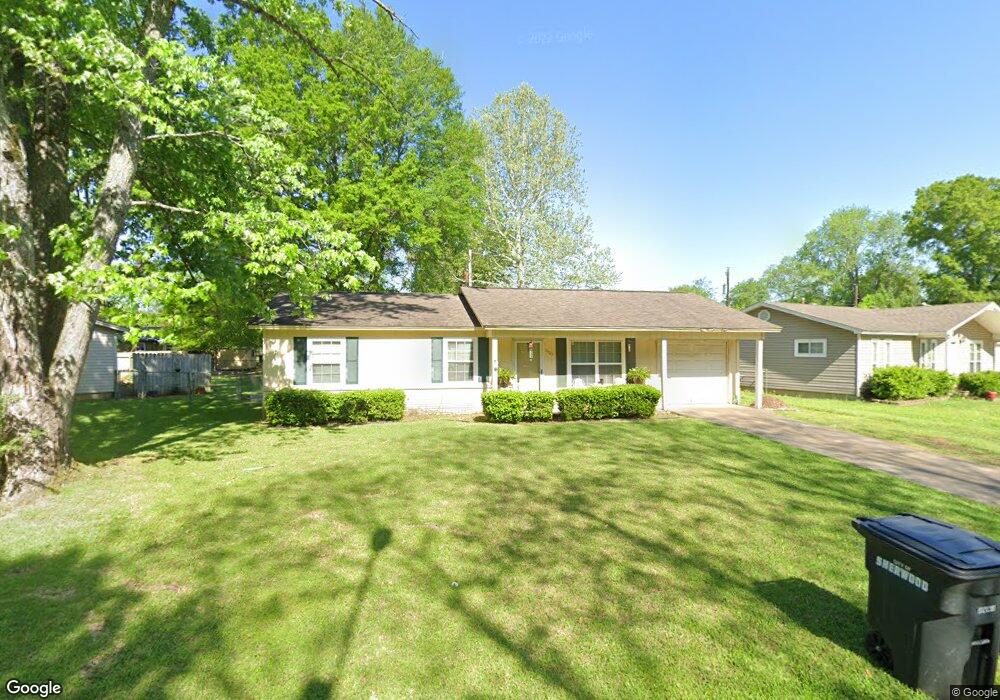
7905 Bronco Ln Sherwood, AR 72120
Estimated Value: $107,456 - $145,000
--
Bed
1
Bath
1,014
Sq Ft
$127/Sq Ft
Est. Value
About This Home
This home is located at 7905 Bronco Ln, Sherwood, AR 72120 and is currently estimated at $128,864, approximately $127 per square foot. 7905 Bronco Ln is a home located in Pulaski County with nearby schools including Sherwood Elementary School, Sylvan Hills Middle School, and Sylvan Hills High School.
Ownership History
Date
Name
Owned For
Owner Type
Purchase Details
Closed on
Apr 24, 2006
Sold by
Denton Bradley M and Denton Trosha L
Bought by
Johnson Mechon
Current Estimated Value
Home Financials for this Owner
Home Financials are based on the most recent Mortgage that was taken out on this home.
Original Mortgage
$95,200
Outstanding Balance
$62,059
Interest Rate
8.81%
Mortgage Type
Fannie Mae Freddie Mac
Estimated Equity
$66,805
Purchase Details
Closed on
Aug 8, 2003
Sold by
G G F Inc
Bought by
Denton Bradley M and Denton Trosha L
Home Financials for this Owner
Home Financials are based on the most recent Mortgage that was taken out on this home.
Original Mortgage
$73,338
Interest Rate
5.51%
Mortgage Type
VA
Purchase Details
Closed on
Nov 29, 2000
Sold by
Mcghee David Paul and Mcghee Janet Gail
Bought by
G G F Inc
Create a Home Valuation Report for This Property
The Home Valuation Report is an in-depth analysis detailing your home's value as well as a comparison with similar homes in the area
Home Values in the Area
Average Home Value in this Area
Purchase History
| Date | Buyer | Sale Price | Title Company |
|---|---|---|---|
| Johnson Mechon | $85,000 | Professional Land Title Comp | |
| Denton Bradley M | $72,000 | United Abstract & Title Co | |
| G G F Inc | $27,000 | -- |
Source: Public Records
Mortgage History
| Date | Status | Borrower | Loan Amount |
|---|---|---|---|
| Open | Johnson Mechon | $95,200 | |
| Previous Owner | Denton Bradley M | $73,338 |
Source: Public Records
Tax History Compared to Growth
Tax History
| Year | Tax Paid | Tax Assessment Tax Assessment Total Assessment is a certain percentage of the fair market value that is determined by local assessors to be the total taxable value of land and additions on the property. | Land | Improvement |
|---|---|---|---|---|
| 2025 | $924 | $18,616 | $2,600 | $16,016 |
| 2024 | $847 | $18,616 | $2,600 | $16,016 |
| 2023 | $847 | $18,616 | $2,600 | $16,016 |
| 2022 | $922 | $18,616 | $2,600 | $16,016 |
| 2021 | $853 | $14,780 | $3,200 | $11,580 |
| 2020 | $474 | $14,780 | $3,200 | $11,580 |
| 2019 | $474 | $14,780 | $3,200 | $11,580 |
| 2018 | $485 | $14,780 | $3,200 | $11,580 |
| 2017 | $438 | $14,780 | $3,200 | $11,580 |
| 2016 | $687 | $13,190 | $3,200 | $9,990 |
| 2015 | $670 | $13,190 | $3,200 | $9,990 |
| 2014 | $670 | $13,190 | $3,200 | $9,990 |
Source: Public Records
Map
Nearby Homes
- 1804 Palomino Dr
- 1800 Palomino Dr
- 1415 Stafford Rd
- 1419 Stafford Rd
- 1423 Stafford Rd
- 1501 Stafford Rd
- +/- 21.56 Acres Stafford Rd
- 626 Newcastle Dr
- 1301 Stafford Rd
- 1926 E Lee Ave
- +/- 8.16 Acres Windchime Ave
- 8000 Pinto Trail
- 622 Newcastle Dr
- 1300 Stafford Rd
- 619 Newcastle Dr
- 618 & 620 Newcastle Dr
- 615 Brierly Dr
- 615 & 617 Brierly Dr
- 609 Newcastle Dr
- 1406 Coolhurst Ave