Estimated Value: $382,000 - $505,000
4
Beds
1
Bath
2,137
Sq Ft
$201/Sq Ft
Est. Value
About This Home
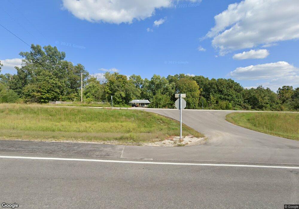
This home is located at 7908 Us Highway 65 S, Ozark, MO 65721 and is currently estimated at $430,153, approximately $201 per square foot. 7908 Us Highway 65 S is a home with nearby schools including South Elementary School, Ozark Junior High School, and Ozark Middle School.
Ownership History
Date
Name
Owned For
Owner Type
Purchase Details
Closed on
Mar 15, 2023
Sold by
Price Sylvia
Bought by
Price Sylvia and Thrash Charles B
Current Estimated Value
Purchase Details
Closed on
Mar 30, 2007
Sold by
Sportsman Brian L and Sportsman Janet
Bought by
Price Glenn and Price Sylvia
Home Financials for this Owner
Home Financials are based on the most recent Mortgage that was taken out on this home.
Original Mortgage
$136,750
Interest Rate
6.19%
Mortgage Type
VA
Purchase Details
Closed on
Jan 4, 2007
Sold by
Bolin Harold D and Bolin Sylvia
Bought by
Sportsman Brian L and Sprotsman Janet L
Home Financials for this Owner
Home Financials are based on the most recent Mortgage that was taken out on this home.
Original Mortgage
$20,000
Interest Rate
6.09%
Mortgage Type
Future Advance Clause Open End Mortgage
Create a Home Valuation Report for This Property
The Home Valuation Report is an in-depth analysis detailing your home's value as well as a comparison with similar homes in the area
Home Values in the Area
Average Home Value in this Area
Purchase History
| Date | Buyer | Sale Price | Title Company |
|---|---|---|---|
| Price Sylvia | -- | Ozark Abstract & Title | |
| Price Glenn | -- | None Available | |
| Sportsman Brian L | -- | None Available |
Source: Public Records
Mortgage History
| Date | Status | Borrower | Loan Amount |
|---|---|---|---|
| Previous Owner | Price Glenn | $136,750 | |
| Previous Owner | Sportsman Brian L | $20,000 |
Source: Public Records
Tax History Compared to Growth
Tax History
| Year | Tax Paid | Tax Assessment Tax Assessment Total Assessment is a certain percentage of the fair market value that is determined by local assessors to be the total taxable value of land and additions on the property. | Land | Improvement |
|---|---|---|---|---|
| 2024 | $962 | $19,340 | -- | -- |
| 2023 | $962 | $19,340 | $0 | $0 |
| 2022 | $806 | $16,160 | $0 | $0 |
| 2021 | $806 | $16,160 | $0 | $0 |
| 2020 | $766 | $14,800 | $0 | $0 |
| 2019 | $766 | $14,800 | $0 | $0 |
| 2018 | $745 | $14,300 | $0 | $0 |
| 2017 | $745 | $14,300 | $0 | $0 |
| 2016 | $731 | $14,300 | $0 | $0 |
| 2015 | $730 | $14,300 | $14,300 | $0 |
| 2014 | $696 | $13,850 | $0 | $0 |
| 2013 | $7 | $13,850 | $0 | $0 |
| 2011 | $7 | $27,700 | $0 | $0 |
Source: Public Records
Map
Nearby Homes
- 735 Garner Dr
- 178 Garner Dr
- 000 Lot 1 Grand Ridge Estates
- 000 State Highway Ee
- 000 State Highway Ee (8 Acres)
- 126 Bradley Ct
- 200 Highlandville Rd
- 000 State Highway O
- 0000 State Highway O
- 000 Burk Rd
- 1602 Equestrian Rd
- 1568 Glossip Ave
- 000 Logan
- 104 Barnridge Rd
- 1721 Jackson Spring Rd
- 504 State Highway O (9 43 Acres)
- 360 Julip Ln
- 1681 Prairie Ridge Rd
- 267 Ridgedale Rd
- 185 Ravenhill Dr
- 7912 U S 65
- 7916 Us Highway 65 S
- 7912 Us Highway 65 S
- 1682 Horsefeathers Dr
- 182 Crystal Dr
- 7 Buckskin Ridge
- 35 Buckskin Ridge (Lot 35)
- 000 Buckskin Ridge (5 04 Acres)
- 0 Grand Ridge Unit 11210883
- 0 Grand Ridge Unit 11310153
- 0 Grand Ridge Unit 10806660
- 0 Grand Ridge Unit 10807753
- 0 Grand Ridge Unit 10811711
- 0 Grand Ridge Unit 10813357
- 0 Grand Ridge Unit 10816599
- 0 Grand Ridge Unit 10816601
- 0 Grand Ridge Unit 10816598
- 0 Grand Ridge Unit 10816890
- 0 Grand Ridge Unit 10823990
- 0 Grand Ridge Unit 10901563