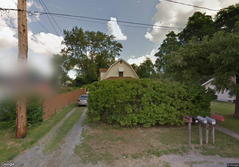
7909 Budd St Masury, OH 44438
Estimated Value: $80,000 - $108,486
3
Beds
2
Baths
1,282
Sq Ft
$75/Sq Ft
Est. Value
About This Home
This home is located at 7909 Budd St, Masury, OH 44438 and is currently estimated at $96,372, approximately $75 per square foot. 7909 Budd St is a home located in Trumbull County with nearby schools including Brookfield Elementary School, Brookfield Middle School, and Brookfield High School.
Ownership History
Date
Name
Owned For
Owner Type
Purchase Details
Closed on
Dec 15, 2023
Sold by
Sereday Roseann
Bought by
Reed Bryan J and Reed Kelly J
Current Estimated Value
Purchase Details
Closed on
Jan 28, 2020
Sold by
Glover Matthew L and First National Bank Of Pennsyl
Bought by
Sereday Roseann
Purchase Details
Closed on
Apr 14, 2003
Sold by
Moyer Danny L and Moyer Stephanie A
Bought by
Glover Matthew L and Glover Amber K
Purchase Details
Closed on
Jan 1, 1990
Bought by
Danny L Moyer
Create a Home Valuation Report for This Property
The Home Valuation Report is an in-depth analysis detailing your home's value as well as a comparison with similar homes in the area
Purchase History
| Date | Buyer | Sale Price | Title Company |
|---|---|---|---|
| Reed Bryan J | $21,100 | None Listed On Document | |
| Sereday Roseann | $21,001 | None Available | |
| Glover Matthew L | $53,000 | -- | |
| Danny L Moyer | -- | -- |
Source: Public Records
Tax History
| Year | Tax Paid | Tax Assessment Tax Assessment Total Assessment is a certain percentage of the fair market value that is determined by local assessors to be the total taxable value of land and additions on the property. | Land | Improvement |
|---|---|---|---|---|
| 2024 | $1,385 | $15,260 | $560 | $14,700 |
| 2023 | $1,802 | $15,260 | $560 | $14,700 |
| 2022 | $649 | $8,470 | $490 | $7,980 |
| 2021 | $528 | $8,470 | $490 | $7,980 |
| 2020 | $1,012 | $8,470 | $490 | $7,980 |
| 2019 | $561 | $7,600 | $460 | $7,140 |
| 2018 | $863 | $7,600 | $460 | $7,140 |
| 2017 | $436 | $7,600 | $460 | $7,140 |
| 2016 | $1,038 | $7,630 | $490 | $7,140 |
| 2015 | $905 | $7,630 | $490 | $7,140 |
| 2014 | $453 | $7,630 | $490 | $7,140 |
| 2013 | $792 | $8,160 | $490 | $7,670 |
Source: Public Records
Map
Nearby Homes
- 1017 Broadway St
- 7931 Service St
- 0 Addison Rd Unit 5181382
- 917 S Irvine Ave
- 8198 Erie St
- 780 S Irvine Ave
- 766 S Irvine Ave
- 676 S State Line Rd
- 672 S Stateline Rd
- 7647 Connelly Rd
- 453 Lafayette Ave
- 1400 Thomas Hubbard Rd
- 7304 Oakwood Dr Unit 9
- 7954 Warren - Sharon Rd
- 249 S Irvine Ave
- 331 A St
- 306 Federal St
- 238 Malleable St
- 268 Malleable St
- 279 Fleming Way
Your Personal Tour Guide
Ask me questions while you tour the home.