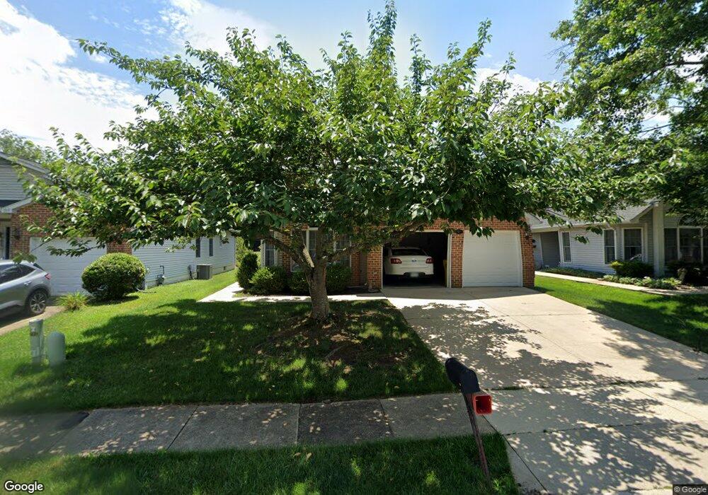
791 Eastern Point Rd Annapolis, MD 21401
Parole NeighborhoodEstimated Value: $652,000 - $703,000
Studio
3
Baths
2,536
Sq Ft
$266/Sq Ft
Est. Value
About This Home
This home is located at 791 Eastern Point Rd, Annapolis, MD 21401 and is currently estimated at $674,290, approximately $265 per square foot. 791 Eastern Point Rd is a home located in Anne Arundel County with nearby schools including Rolling Knolls Elementary School, Wiley H. Bates Middle School, and Annapolis High School.
Ownership History
Date
Name
Owned For
Owner Type
Purchase Details
Closed on
Apr 5, 2004
Sold by
Tominovich Joseph P
Bought by
Horenkamp Mary M
Current Estimated Value
Purchase Details
Closed on
Oct 30, 1991
Sold by
U S Home Corporation
Bought by
Tominovich Joseph P
Home Financials for this Owner
Home Financials are based on the most recent Mortgage that was taken out on this home.
Original Mortgage
$115,000
Interest Rate
8.91%
Create a Home Valuation Report for This Property
The Home Valuation Report is an in-depth analysis detailing your home's value as well as a comparison with similar homes in the area
Home Values in the Area
Average Home Value in this Area
Purchase History
| Date | Buyer | Sale Price | Title Company |
|---|---|---|---|
| Horenkamp Mary M | $407,500 | -- | |
| Tominovich Joseph P | $210,200 | -- |
Source: Public Records
Mortgage History
| Date | Status | Borrower | Loan Amount |
|---|---|---|---|
| Previous Owner | Tominovich Joseph P | $115,000 |
Source: Public Records
Tax History
| Year | Tax Paid | Tax Assessment Tax Assessment Total Assessment is a certain percentage of the fair market value that is determined by local assessors to be the total taxable value of land and additions on the property. | Land | Improvement |
|---|---|---|---|---|
| 2025 | $5,326 | $543,533 | -- | -- |
| 2024 | $5,326 | $503,367 | $0 | $0 |
| 2023 | $5,156 | $463,200 | $207,800 | $255,400 |
| 2022 | $4,835 | $463,200 | $207,800 | $255,400 |
| 2020 | $4,654 | $470,800 | $217,800 | $253,000 |
| 2019 | $4,553 | $443,033 | $0 | $0 |
| 2018 | $4,211 | $415,267 | $0 | $0 |
| 2017 | $4,239 | $387,500 | $0 | $0 |
| 2016 | -- | $376,833 | $0 | $0 |
| 2015 | -- | $366,167 | $0 | $0 |
| 2014 | -- | $355,500 | $0 | $0 |
Source: Public Records
Map
Nearby Homes
- 807 Eastern Point Rd
- 911 Yardarm Ln
- 860 Woodmont Rd
- 207 1st St
- 837 Boatswain Way
- 92 Clifford Blvd
- 905 Scupper Ct
- 2568 Forest Knoll
- 2729 Poplar Ln
- 2731 Yeomans Lantern Ct
- 906 Perry Landing Ct
- 2510 Painter Ct
- 926 Perry Landing Ct
- 1943 Marconi Cir
- 930 Astern Way Unit 512
- 930 Astern Way Unit 405
- 930 Astern Way Unit 304
- 1011 Boom Ct
- 1955 Marconi Cir
- 110 Marquise Ln
- 789 Eastern Point Rd
- 793 Eastern Point Rd
- 795 Eastern Point Rd
- 787 Eastern Point Rd
- 908 Plattner Ct
- 797 Eastern Point Rd
- 910 Plattner Ct
- 785 Eastern Point Rd
- 792 Eastern Point Rd
- 790 Eastern Point Rd
- 794 Eastern Point Rd
- 788 Eastern Point Rd
- 906 Plattner Ct
- 799 Eastern Point Rd
- 796 Eastern Point Rd
- 783 Eastern Point Rd
- 786 Eastern Point Rd
- 798 Eastern Point Rd
- 912 Plattner Ct
- 801 Eastern Point Rd
Your Personal Tour Guide
Ask me questions while you tour the home.