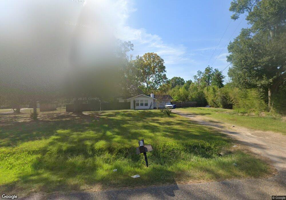
791 Ellis Rd Deridder, LA 70634
Estimated Value: $88,000 - $189,000
3
Beds
--
Bath
--
Sq Ft
0.91
Acres
About This Home
Property Id: 1577755
3 bedroom, 3 bath newly renovated southern charm!
Located across the street from DeRidder High School baseball field.
Ownership History
Date
Name
Owned For
Owner Type
Purchase Details
Closed on
Aug 11, 2020
Sold by
Sherman Louis Lazare and Sherman Joan Evelyn
Bought by
Dumesnil Properties Llc
Current Estimated Value
Purchase Details
Closed on
Dec 1, 2017
Sold by
Grady Lasa Marleen
Bought by
Lazare Sherman Jr Louis and Sherman Joan Evelyn
Home Financials for this Owner
Home Financials are based on the most recent Mortgage that was taken out on this home.
Original Mortgage
$61,750
Interest Rate
3.94%
Mortgage Type
New Conventional
Purchase Details
Closed on
Oct 14, 2014
Sold by
Hamm Charles David and Hamm Candace Joe
Bought by
Bennett Lasa Marleen
Create a Home Valuation Report for This Property
The Home Valuation Report is an in-depth analysis detailing your home's value as well as a comparison with similar homes in the area
Home Values in the Area
Average Home Value in this Area
Purchase History
| Date | Buyer | Sale Price | Title Company |
|---|---|---|---|
| Dumesnil Properties Llc | $63,000 | None Available | |
| Lazare Sherman Jr Louis | $65,000 | None Available | |
| Bennett Lasa Marleen | $68,000 | None Available |
Source: Public Records
Mortgage History
| Date | Status | Borrower | Loan Amount |
|---|---|---|---|
| Previous Owner | Lazare Sherman Jr Louis | $61,750 |
Source: Public Records
Property History
| Date | Event | Price | List to Sale | Price per Sq Ft |
|---|---|---|---|---|
| 09/04/2024 09/04/24 | For Rent | $1,795 | -- | -- |
Tax History Compared to Growth
Tax History
| Year | Tax Paid | Tax Assessment Tax Assessment Total Assessment is a certain percentage of the fair market value that is determined by local assessors to be the total taxable value of land and additions on the property. | Land | Improvement |
|---|---|---|---|---|
| 2024 | $825 | $6,975 | $750 | $6,225 |
| 2023 | $710 | $5,850 | $250 | $5,600 |
| 2022 | $710 | $5,850 | $250 | $5,600 |
| 2021 | $710 | $5,850 | $250 | $5,600 |
| 2020 | $710 | $5,850 | $250 | $5,600 |
| 2019 | $710 | $5,850 | $250 | $5,600 |
| 2018 | $710 | $5,850 | $250 | $5,600 |
| 2017 | $759 | $6,256 | $250 | $6,006 |
| 2016 | $755 | $6,256 | $250 | $6,006 |
| 2015 | $563 | $6,256 | $500 | $5,756 |
| 2014 | $563 | $4,800 | $500 | $4,300 |
Source: Public Records
Map
Nearby Homes
- 1598 Glendale Rd
- 0 Glendale Rd
- 1526 Peggy Ln
- 1938 Glendale Rd
- 629 Auburn Dr
- 1615 Ernest Dr
- 710 N Frusha Dr
- 0 N Frusha Dr
- 0 Planer Mill Rd
- 0 Bilbo Street (Tract 1)
- 0 Bilbo Street (Tract 2)
- 809 N Texas St
- 1905 U S 190
- 721 N Texas St
- 0 N Texas St
- 0 Tbd N Texas St
- 2125 U S 190
- 0 Highway 190 Unit 26-5128
- 0 Highway 190 Unit SWL24006297
- 0 Highway 190 Unit 61-162
- 1605 Line Dr
- 1611 Line Dr
- 779 Ellis Rd
- 1625 Line Dr
- 1548 High School Dr
- 1548 High School Dr Unit Dr
- 1604 Line Dr
- 1612 Line Dr
- 1631 Line Dr
- 1624 Line Dr
- 1607 Glendale Rd
- 1607 Glendale Rd Unit RD
- 1630 Line Dr
- 1639 Line Dr
- 1540 High School Dr
- 1612 Glendale Rd
- 1638 Line Dr
- 1815 Darlene Dr
- 1613 Charlotte Dr
- 1624 Glendale Rd