Estimated Value: $306,210 - $343,000
2
Beds
1
Bath
1,380
Sq Ft
$235/Sq Ft
Est. Value
About This Home
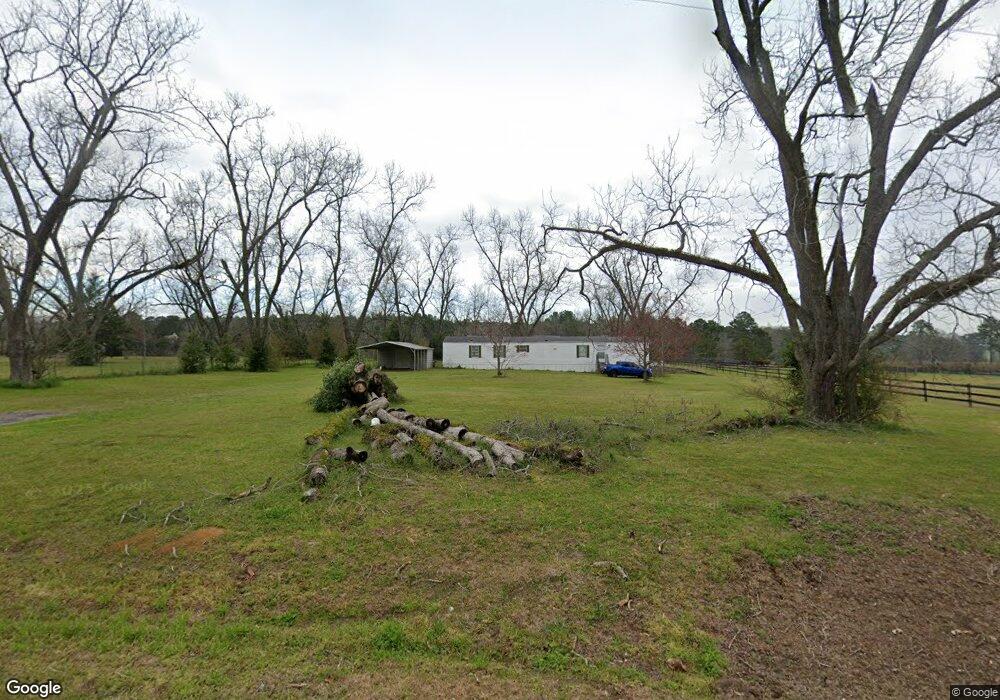
This home is located at 791 Ga Highway 122, Pavo, GA 31778 and is currently estimated at $324,605, approximately $235 per square foot. 791 Ga Highway 122 is a home located in Brooks County with nearby schools including North Brooks Elementary School.
Ownership History
Date
Name
Owned For
Owner Type
Purchase Details
Closed on
Feb 26, 2015
Sold by
Walker Joan S
Bought by
Rice Thomas E and Rice Stephanie L
Current Estimated Value
Home Financials for this Owner
Home Financials are based on the most recent Mortgage that was taken out on this home.
Original Mortgage
$160,200
Interest Rate
3.77%
Mortgage Type
New Conventional
Purchase Details
Closed on
Aug 16, 2012
Sold by
Walker E Jack E and Walker Joan S
Bought by
Walker Joan S
Purchase Details
Closed on
Sep 8, 1997
Bought by
Walker Walker E and Walker Joan S
Create a Home Valuation Report for This Property
The Home Valuation Report is an in-depth analysis detailing your home's value as well as a comparison with similar homes in the area
Home Values in the Area
Average Home Value in this Area
Purchase History
| Date | Buyer | Sale Price | Title Company |
|---|---|---|---|
| Rice Thomas E | $178,000 | -- | |
| Walker Joan S | -- | -- | |
| Walker Walker E | -- | -- |
Source: Public Records
Mortgage History
| Date | Status | Borrower | Loan Amount |
|---|---|---|---|
| Closed | Rice Thomas E | $160,200 |
Source: Public Records
Tax History Compared to Growth
Tax History
| Year | Tax Paid | Tax Assessment Tax Assessment Total Assessment is a certain percentage of the fair market value that is determined by local assessors to be the total taxable value of land and additions on the property. | Land | Improvement |
|---|---|---|---|---|
| 2025 | $3,454 | $85,204 | $25,920 | $59,284 |
| 2024 | $3,454 | $85,204 | $25,920 | $59,284 |
| 2023 | $1,657 | $76,052 | $23,480 | $52,572 |
| 2022 | $1,955 | $63,024 | $22,360 | $40,664 |
| 2021 | $1,923 | $61,752 | $21,880 | $39,872 |
| 2020 | $2,632 | $62,400 | $21,880 | $40,520 |
| 2019 | $1,854 | $60,728 | $22,360 | $38,368 |
| 2018 | $2,729 | $63,060 | $23,760 | $39,300 |
| 2017 | $1,996 | $61,908 | $23,760 | $38,148 |
| 2016 | $1,990 | $62,316 | $23,760 | $38,556 |
| 2015 | -- | $59,492 | $23,760 | $35,732 |
| 2014 | -- | $55,916 | $19,000 | $36,916 |
| 2013 | -- | $55,916 | $19,000 | $36,916 |
Source: Public Records
Map
Nearby Homes
- 2055 S Roberts St
- 2051 W Pear St
- 1230 Parrish Rd
- 1136 Nesbitt Rd
- 16343 Georgia 33
- 16343 Ga Hwy 33 -8 34 Acres
- 16343
- 16343 Ga Hwy 33 - 8 34 Acres Hwy
- 813 Vonier Road (6 Acres)
- 13876 Ga Highway 122
- 9283 Tallokas Rd Unit 54/13
- 9283 Tallokas Rd
- 1038-BA Church St
- 7402 Coffee Rd
- 7921 Five Forks Rd
- 3812 Ponder Rd
- 110 Nicole Britt Dr
- 101 Bailey Cir
- 203 Bailey Cir
- 791 Highway 122
- 791 Highway 122
- 831 Harris St
- 10248 Tallokas Rd
- 4128 Beaty Rd
- 581 Harris St
- 559 Harris St
- 4123 Beaty Rd
- 000 Beaty Rd
- 0 Beaty Rd
- 00 Beaty Rd
- 4094 Beaty Rd
- 4094 Beaty Rd
- 554 Harris St
- 491 Harris St
- 224 Lebanon Cemetery Rd
- 971 Georgia 122
- 925 Ga Highway 122
- 156 Parkview Ave
- 451 Harris St