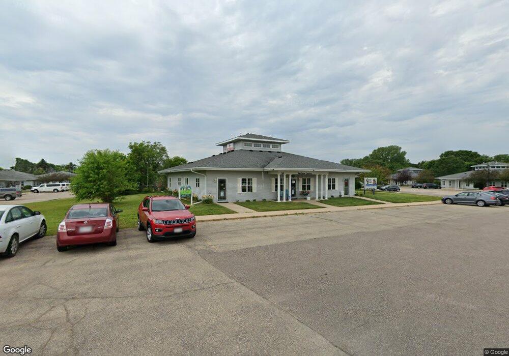
791 Lois Dr Unit 2 Sun Prairie, WI 53590
Renstone NeighborhoodEstimated Value: $711,399
--
Bed
--
Bath
3,600
Sq Ft
$198/Sq Ft
Est. Value
About This Home
This home is located at 791 Lois Dr Unit 2, Sun Prairie, WI 53590 and is currently estimated at $711,399, approximately $197 per square foot. 791 Lois Dr Unit 2 is a home located in Dane County with nearby schools including Bird Elementary School, Patrick Marsh Middle School, and Sacred Hearts School.
Ownership History
Date
Name
Owned For
Owner Type
Purchase Details
Closed on
Jun 9, 2017
Sold by
Raleigh Sean A and Raleigh Nora A
Bought by
Petcare Centre Practices Llc
Current Estimated Value
Home Financials for this Owner
Home Financials are based on the most recent Mortgage that was taken out on this home.
Original Mortgage
$650,000
Outstanding Balance
$541,108
Interest Rate
4.05%
Mortgage Type
Purchase Money Mortgage
Estimated Equity
$170,291
Create a Home Valuation Report for This Property
The Home Valuation Report is an in-depth analysis detailing your home's value as well as a comparison with similar homes in the area
Home Values in the Area
Average Home Value in this Area
Purchase History
| Date | Buyer | Sale Price | Title Company |
|---|---|---|---|
| Petcare Centre Practices Llc | $400,000 | None Available |
Source: Public Records
Mortgage History
| Date | Status | Borrower | Loan Amount |
|---|---|---|---|
| Open | Petcare Centre Practices Llc | $650,000 |
Source: Public Records
Tax History Compared to Growth
Tax History
| Year | Tax Paid | Tax Assessment Tax Assessment Total Assessment is a certain percentage of the fair market value that is determined by local assessors to be the total taxable value of land and additions on the property. | Land | Improvement |
|---|---|---|---|---|
| 2024 | $5,835 | $305,400 | $48,900 | $256,500 |
| 2023 | $5,339 | $305,400 | $48,900 | $256,500 |
| 2021 | $5,433 | $253,500 | $40,600 | $212,900 |
| 2020 | $5,488 | $253,500 | $40,600 | $212,900 |
| 2019 | $6,024 | $245,400 | $39,300 | $206,100 |
| 2018 | $5,538 | $245,400 | $39,300 | $206,100 |
| 2017 | $5,265 | $245,400 | $39,300 | $206,100 |
| 2016 | $6,468 | $271,800 | $40,000 | $231,800 |
| 2015 | $6,269 | $271,800 | $40,000 | $231,800 |
| 2014 | $6,580 | $282,800 | $40,000 | $242,800 |
| 2013 | $7,056 | $282,800 | $40,000 | $242,800 |
Source: Public Records
Map
Nearby Homes
- 1500 Calico Ln
- 933 Allison St
- 1013 Vandenburg St
- 921 Pine St
- 1010 Andrews Dr
- 1294 Saint Albert the Great Dr
- 3345 U S 151
- 706 Woodland Dr
- 1486 Ivory Dr
- 856 Saint Albert the Great Dr Unit 856
- 1847 Windemere Ct
- 643 Eddington Dr
- 1171 School St Unit 1171
- 972 Chandler Ln Unit 972
- 994 Chandler Ln
- 1822 Cobblestone Ct
- 955 Liberty Blvd Unit 103
- 1048 Stonewood Crossing
- 1325 Bunker Hill Dr Unit 3104
- 1443 Buena Vista Dr