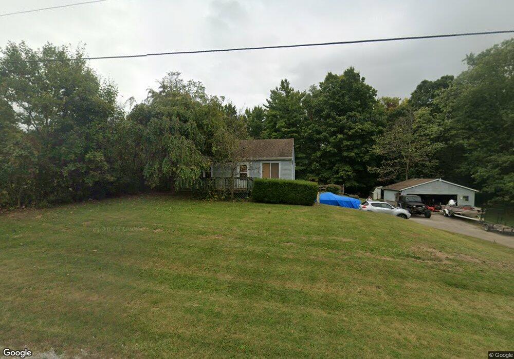
791 Moorefield Rd Springfield, OH 45502
Estimated Value: $171,000 - $207,000
2
Beds
2
Baths
720
Sq Ft
$263/Sq Ft
Est. Value
About This Home
This home is located at 791 Moorefield Rd, Springfield, OH 45502 and is currently estimated at $189,026, approximately $262 per square foot. 791 Moorefield Rd is a home located in Clark County with nearby schools including Northridge Elementary School, Kenton Ridge Middle & High School, and Emmanuel Christian Academy.
Ownership History
Date
Name
Owned For
Owner Type
Purchase Details
Closed on
Nov 11, 2015
Sold by
Walters David B
Bought by
Steinberger Michael and Steinberger Ciera
Current Estimated Value
Home Financials for this Owner
Home Financials are based on the most recent Mortgage that was taken out on this home.
Original Mortgage
$97,686
Outstanding Balance
$76,223
Interest Rate
3.8%
Mortgage Type
New Conventional
Estimated Equity
$112,803
Purchase Details
Closed on
Jul 11, 2003
Sold by
Winkler John E
Bought by
Walters David B
Home Financials for this Owner
Home Financials are based on the most recent Mortgage that was taken out on this home.
Original Mortgage
$82,400
Interest Rate
5.37%
Mortgage Type
Purchase Money Mortgage
Purchase Details
Closed on
Dec 29, 1998
Sold by
Estate Of Helen Louise Winkler
Bought by
Winkler John E
Create a Home Valuation Report for This Property
The Home Valuation Report is an in-depth analysis detailing your home's value as well as a comparison with similar homes in the area
Home Values in the Area
Average Home Value in this Area
Purchase History
| Date | Buyer | Sale Price | Title Company |
|---|---|---|---|
| Steinberger Michael | $95,000 | Team Title & Closing Svcs Ll | |
| Walters David B | $103,000 | -- | |
| Winkler John E | -- | -- |
Source: Public Records
Mortgage History
| Date | Status | Borrower | Loan Amount |
|---|---|---|---|
| Open | Steinberger Michael | $97,686 | |
| Previous Owner | Walters David B | $82,400 | |
| Closed | Walters David B | $20,600 |
Source: Public Records
Tax History
| Year | Tax Paid | Tax Assessment Tax Assessment Total Assessment is a certain percentage of the fair market value that is determined by local assessors to be the total taxable value of land and additions on the property. | Land | Improvement |
|---|---|---|---|---|
| 2025 | $1,697 | $47,890 | $17,490 | $30,400 |
| 2024 | $1,641 | $38,800 | $13,560 | $25,240 |
| 2023 | $1,641 | $38,800 | $13,560 | $25,240 |
| 2022 | $1,647 | $38,800 | $13,560 | $25,240 |
| 2021 | $1,605 | $32,040 | $11,120 | $20,920 |
| 2020 | $1,606 | $32,040 | $11,120 | $20,920 |
| 2019 | $1,637 | $32,040 | $11,120 | $20,920 |
| 2018 | $1,483 | $27,850 | $10,290 | $17,560 |
| 2017 | $1,271 | $27,854 | $10,294 | $17,560 |
| 2016 | $1,262 | $27,854 | $10,294 | $17,560 |
| 2015 | $1,241 | $26,377 | $10,294 | $16,083 |
| 2014 | $1,240 | $26,377 | $10,294 | $16,083 |
| 2013 | $1,212 | $26,377 | $10,294 | $16,083 |
Source: Public Records
Map
Nearby Homes
- 862 Brendle Trace Unit 20
- 4741 Cullen Ave
- 4802 Willowbrook Dr
- 593 Hiser Ave
- 4343 Burchill St
- 5033 Ridgewood Rd E
- 1521 Erika Dr
- 0 Moorefield Rd
- 5564 Ridgewood Rd W
- 1341 Student Ave
- 1709 Thomas Dr
- 1495 Victorian Way
- 4446 Ridgewood Rd E Unit 3
- 5564 Ridgewood Rd E Unit 7
- 4577 Reno Ln Unit 2
- 5722 Victorian Way Unit 31
- 937 Willow Rd
- 4256 Midfield St Unit 9
- 4652 Reno Ln Unit 15
- 335 Willow Rd
- 818 Moorefield Rd
- 839 Moorefield Rd
- 842 Moorefield Rd
- 785 Falkirk Dr
- 725 Falkirk Dr
- 4945 Derr Rd
- 730 Falkirk Dr
- 820 Falkirk Dr
- 750 Falkirk Dr
- 5065 Brookshire Ln
- 5110 Brookshire Ln
- 5040 Hearthstone Dr
- 5095 Brookshire Ln
- 983 Moorefield Rd
- 5015 Hearthstone Dr
- 716 Deerfield Trail
- 5025 Hearthstone Dr
- 714 Deerfield Trail
- 714 Deerfield Trail Unit 21
- 5125 Brookshire Ln
Your Personal Tour Guide
Ask me questions while you tour the home.