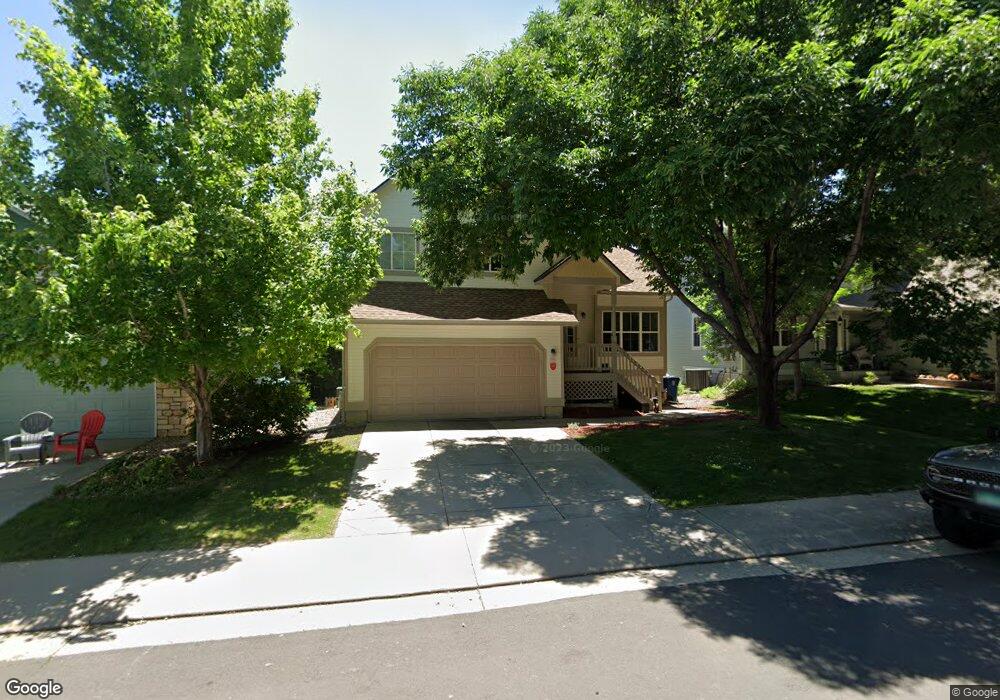
791 Nighthawk Cir Louisville, CO 80027
Estimated Value: $836,000 - $1,022,000
4
Beds
4
Baths
1,586
Sq Ft
$588/Sq Ft
Est. Value
About This Home
This home is located at 791 Nighthawk Cir, Louisville, CO 80027 and is currently estimated at $932,239, approximately $587 per square foot. 791 Nighthawk Cir is a home located in Boulder County with nearby schools including Fireside Elementary School, Monarch K-8 School, and Monarch High School.
Ownership History
Date
Name
Owned For
Owner Type
Purchase Details
Closed on
Nov 15, 1995
Sold by
Mcstain Enterprises Inc
Bought by
Madani Cyrus S
Current Estimated Value
Home Financials for this Owner
Home Financials are based on the most recent Mortgage that was taken out on this home.
Original Mortgage
$151,200
Outstanding Balance
$2,101
Interest Rate
7.53%
Estimated Equity
$930,138
Create a Home Valuation Report for This Property
The Home Valuation Report is an in-depth analysis detailing your home's value as well as a comparison with similar homes in the area
Home Values in the Area
Average Home Value in this Area
Purchase History
| Date | Buyer | Sale Price | Title Company |
|---|---|---|---|
| Madani Cyrus S | $190,000 | -- |
Source: Public Records
Mortgage History
| Date | Status | Borrower | Loan Amount |
|---|---|---|---|
| Open | Madani Cyrus S | $151,200 |
Source: Public Records
Tax History Compared to Growth
Tax History
| Year | Tax Paid | Tax Assessment Tax Assessment Total Assessment is a certain percentage of the fair market value that is determined by local assessors to be the total taxable value of land and additions on the property. | Land | Improvement |
|---|---|---|---|---|
| 2025 | $5,393 | $61,119 | $21,181 | $39,938 |
| 2024 | $5,393 | $61,119 | $21,181 | $39,938 |
| 2023 | $5,302 | $60,005 | $22,968 | $40,723 |
| 2022 | $4,423 | $45,960 | $17,229 | $28,731 |
| 2021 | $4,659 | $50,301 | $18,855 | $31,446 |
| 2020 | $4,075 | $43,544 | $15,802 | $27,742 |
| 2019 | $4,017 | $43,544 | $15,802 | $27,742 |
| 2018 | $3,743 | $41,897 | $7,992 | $33,905 |
| 2017 | $3,669 | $46,320 | $8,836 | $37,484 |
| 2016 | $3,089 | $35,112 | $11,940 | $23,172 |
| 2015 | $2,928 | $30,486 | $16,636 | $13,850 |
| 2014 | $2,606 | $30,486 | $16,636 | $13,850 |
Source: Public Records
Map
Nearby Homes
- 494 Owl Dr Unit 4
- 810 Trail Ridge Dr
- 823 Trail Ridge Dr
- 408 Fillmore Ct
- 593 Wildrose Way
- 118 S Tanager Ct
- 848 Trail Ridge Dr
- 812 W Mulberry St
- 592 Spruce Cir
- 900 Eldorado Ln
- 159 S Polk Ave
- 955 Arapahoe Cir
- 426 W Spruce Ln
- 641 W Dahlia St
- 1006 Honeysuckle Ln
- 958 Eldorado Ln
- 935 Eldorado Ln Unit A
- 935 Eldorado Ln
- 279 S Taft Ct Unit 53
- 291 W Sycamore Ln
- 789 Nighthawk Cir
- 793 Nighthawk Cir
- 723 Nighthawk Cir
- 787 Nighthawk Cir
- 717 Nighthawk Cir
- 727 Nighthawk Cir
- 711 Nighthawk Cir
- 792 Nighthawk Cir
- 797 Nighthawk Cir
- 731 Nighthawk Cir
- 790 Nighthawk Cir
- 783 Nighthawk Cir
- 794 Nighthawk Cir
- 788 Nighthawk Cir
- 707 Nighthawk Cir
- 796 Nighthawk Cir
- 799 Nighthawk Cir
- 733 Nighthawk Cir
- 779 Nighthawk Cir
- 784 Nighthawk Cir