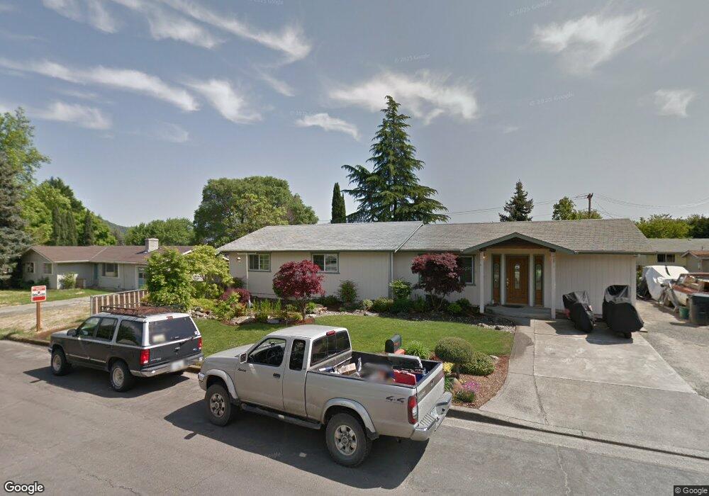
791 NW Carol Dr Grants Pass, OR 97526
Estimated Value: $386,593 - $444,000
4
Beds
2
Baths
1,676
Sq Ft
$248/Sq Ft
Est. Value
About This Home
This home is located at 791 NW Carol Dr, Grants Pass, OR 97526 and is currently estimated at $415,297, approximately $247 per square foot. 791 NW Carol Dr is a home located in Josephine County with nearby schools including Highland Elementary School, North Middle School, and Grants Pass High School.
Ownership History
Date
Name
Owned For
Owner Type
Purchase Details
Closed on
Jun 23, 2005
Sold by
Hondrick Clinton J and Hondrick Marjorie A
Bought by
Cobbs John and Cobbs Maria
Current Estimated Value
Home Financials for this Owner
Home Financials are based on the most recent Mortgage that was taken out on this home.
Original Mortgage
$33,000
Interest Rate
5.27%
Mortgage Type
Stand Alone Second
Create a Home Valuation Report for This Property
The Home Valuation Report is an in-depth analysis detailing your home's value as well as a comparison with similar homes in the area
Home Values in the Area
Average Home Value in this Area
Purchase History
| Date | Buyer | Sale Price | Title Company |
|---|---|---|---|
| Cobbs John | $165,000 | First American |
Source: Public Records
Mortgage History
| Date | Status | Borrower | Loan Amount |
|---|---|---|---|
| Closed | Cobbs John | $33,000 | |
| Open | Cobbs John | $132,000 |
Source: Public Records
Tax History Compared to Growth
Tax History
| Year | Tax Paid | Tax Assessment Tax Assessment Total Assessment is a certain percentage of the fair market value that is determined by local assessors to be the total taxable value of land and additions on the property. | Land | Improvement |
|---|---|---|---|---|
| 2025 | $2,779 | $214,000 | -- | -- |
| 2024 | $2,779 | $207,770 | -- | -- |
| 2023 | $2,698 | $201,720 | $0 | $0 |
| 2022 | $2,630 | $195,850 | -- | -- |
| 2021 | $2,470 | $190,150 | $0 | $0 |
| 2020 | $2,399 | $184,620 | $0 | $0 |
| 2019 | $2,330 | $179,250 | $0 | $0 |
| 2018 | $2,371 | $174,030 | $0 | $0 |
| 2017 | $2,353 | $168,970 | $0 | $0 |
| 2016 | $2,068 | $164,050 | $0 | $0 |
| 2015 | $1,962 | $159,280 | $0 | $0 |
| 2014 | $1,930 | $154,650 | $0 | $0 |
Source: Public Records
Map
Nearby Homes
- 2203 NW Juliet Ln
- 2203 NW Oxford Cir
- 1024 NW Cooke Ave
- 1126 NW Morgan Ln
- 2034 NW Sarum Cir
- 107 NW Wrightwood Cir
- 1946 NW Crown St
- 416 NW Pleasant View Dr
- 201 NW Creekside Dr
- 1523 NW Thompson Way
- 208 NW Creekside Dr
- 206 NW Creekside Dr
- 214 NW Creekside Dr
- 1137 Sunburst Way
- 1285 NW Cooke Ave
- 1129 NW Starlite Place
- 0 NW Scenic Dr Unit 220207296
- 1085 NW Starlite Place Unit R342008
- 1502 NW Lawnridge Ave
- 0 NW Starlite Place Unit 220203894
- 795 NW Carol Dr
- 787 NW Carol Dr
- 792 NW Morgan Ln
- 796 NW Morgan Ln
- 788 NW Morgan Ln
- 792 NW Carol Dr
- 788 NW Carol Dr
- 1939 NW Highland Ave
- 783 NW Carol Dr
- 784 NW Morgan Ln
- 901 NW Carol Dr
- 900 NW Morgan Ln
- 1975 NW Highland Ave
- 865 NW Cooke Ave
- 779 NW Carol Dr
- 853 NW Cooke Ave
- 0 NW Morgan Ln
- 780 NW Carol Dr
- 780 NW Morgan Ln
- 841 NW Cooke Ave