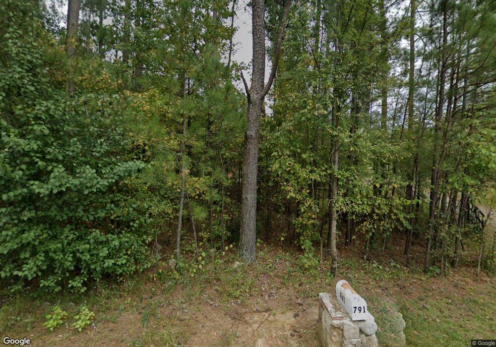
791 Rutledge Rd Acworth, GA 30101
Cedarcrest NeighborhoodEstimated Value: $95,000 - $294,000
3
Beds
1
Bath
1,211
Sq Ft
$161/Sq Ft
Est. Value
About This Home
This home is located at 791 Rutledge Rd, Acworth, GA 30101 and is currently estimated at $195,446, approximately $161 per square foot. 791 Rutledge Rd is a home located in Paulding County with nearby schools including Floyd L. Shelton Elementary School at Crossroad, Sammy Mcclure Sr. Middle School, and North Paulding High School.
Ownership History
Date
Name
Owned For
Owner Type
Purchase Details
Closed on
May 8, 2020
Sold by
Delosier Brian D
Bought by
Delosier Brian D and Franco Madeline
Current Estimated Value
Purchase Details
Closed on
Aug 21, 2019
Sold by
Mitchum Cleta Faye
Bought by
Da Camara Robert
Create a Home Valuation Report for This Property
The Home Valuation Report is an in-depth analysis detailing your home's value as well as a comparison with similar homes in the area
Home Values in the Area
Average Home Value in this Area
Purchase History
| Date | Buyer | Sale Price | Title Company |
|---|---|---|---|
| Delosier Brian D | -- | -- | |
| Delosier Brian D | $25,000 | -- | |
| Da Camara Robert | $50,000 | -- |
Source: Public Records
Tax History Compared to Growth
Tax History
| Year | Tax Paid | Tax Assessment Tax Assessment Total Assessment is a certain percentage of the fair market value that is determined by local assessors to be the total taxable value of land and additions on the property. | Land | Improvement |
|---|---|---|---|---|
| 2024 | $207 | $35,076 | $10,560 | $24,516 |
| 2023 | $258 | $34,624 | $10,320 | $24,304 |
| 2022 | $443 | $54,908 | $8,760 | $46,148 |
| 2021 | $424 | $42,776 | $7,520 | $35,256 |
| 2020 | $415 | $39,528 | $7,520 | $32,008 |
| 2019 | $665 | $60,048 | $29,760 | $30,288 |
| 2018 | $524 | $48,256 | $27,000 | $21,256 |
| 2017 | $518 | $46,056 | $25,880 | $20,176 |
| 2016 | $442 | $40,594 | $24,320 | $16,274 |
| 2015 | $445 | $39,194 | $23,640 | $15,554 |
| 2014 | $431 | $35,914 | $21,360 | $14,554 |
| 2013 | -- | $35,040 | $23,240 | $11,800 |
Source: Public Records
Map
Nearby Homes
- 5094 Gwendolyn Ct NW
- 11 Brownson Ct
- 18 Brownson Ct
- 205 Silvercrest Dr
- 4559 Oglethorpe Loop NW
- The Samone Plan at Silvercrest Lakes
- The Abigail Plan at Silvercrest Lakes
- 6218 Zell Miller Path NW
- 4317 Oglethorpe Loop NW
- 1131 Rutledge Rd
- 5098 Gwendolyn Ct NW
- 26 Trillium Ln
- 341 Carl Sanders Dr
- 1276 Rutledge Rd
- 4419 Oglethorpe Loop NW
- 4413 Oglethorpe Loop NW
- 4413 Oglethorpe Loop NW Unit 37
- 287 Flower Farm Dr
- 583 Carl Sanders Dr
- 6218 Talmadge Way NW
- 740 Rutledge Rd
- 000 Rutledge Rd
- 00 Rutledge Rd
- 895 Rutledge Rd
- 749 Rutledge Rd
- 1128 Rutledge Rd
- 1130 Rutledge Rd
- 551 Rutledge Rd
- 553 Rutledge Rd
- 4516 Oglethorpe Loop
- 724 Rutledge Rd
- 4519 Oglethorpe Loop NW
- 658 Rutledge Rd
- 939 Rutledge Rd
- 990 Rutledge Rd
- 4506 Oglethorpe Loop NW
- 6820 Rutledge Dr SE
- 556 Rutledge Rd
- 53 Brownson Ct
- 6350 Rutledge Dr NW
