Estimated Value: $517,428 - $592,000
3
Beds
2
Baths
2,038
Sq Ft
$272/Sq Ft
Est. Value
About This Home
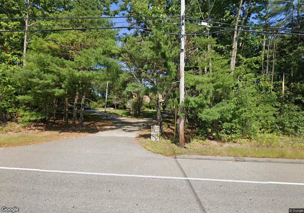
This home is located at 791 Sanford Rd, Wells, ME 04090 and is currently estimated at $554,857, approximately $272 per square foot. 791 Sanford Rd is a home located in York County with nearby schools including Wells Elementary School, Wells Junior High School, and Wells High School.
Ownership History
Date
Name
Owned For
Owner Type
Purchase Details
Closed on
Aug 19, 2011
Sold by
Okeefe Jeremy J
Bought by
Bac Home Loan Svcng Lp
Current Estimated Value
Purchase Details
Closed on
Jun 28, 2010
Sold by
Okeefe Jeremy J and Sherman Kevin
Bought by
Chambers Michael C and Sherman Kevin
Purchase Details
Closed on
Nov 18, 2005
Sold by
Chambers Michael C
Bought by
Sherman Kevin and Okeefe Jeremy J
Home Financials for this Owner
Home Financials are based on the most recent Mortgage that was taken out on this home.
Original Mortgage
$240,000
Interest Rate
6.07%
Mortgage Type
Purchase Money Mortgage
Create a Home Valuation Report for This Property
The Home Valuation Report is an in-depth analysis detailing your home's value as well as a comparison with similar homes in the area
Home Values in the Area
Average Home Value in this Area
Purchase History
| Date | Buyer | Sale Price | Title Company |
|---|---|---|---|
| Bac Home Loan Svcng Lp | -- | -- | |
| Chambers Michael C | -- | -- | |
| Sherman Kevin | -- | -- |
Source: Public Records
Mortgage History
| Date | Status | Borrower | Loan Amount |
|---|---|---|---|
| Previous Owner | Sherman Kevin | $240,000 |
Source: Public Records
Tax History Compared to Growth
Tax History
| Year | Tax Paid | Tax Assessment Tax Assessment Total Assessment is a certain percentage of the fair market value that is determined by local assessors to be the total taxable value of land and additions on the property. | Land | Improvement |
|---|---|---|---|---|
| 2024 | $2,672 | $439,530 | $118,100 | $321,430 |
| 2023 | $2,620 | $439,530 | $118,100 | $321,430 |
| 2022 | $2,387 | $228,170 | $53,530 | $174,640 |
| 2021 | $2,400 | $228,170 | $50,530 | $177,640 |
| 2020 | $2,391 | $228,170 | $53,530 | $174,640 |
| 2019 | $2,378 | $228,170 | $53,530 | $174,640 |
| 2018 | $2,355 | $228,170 | $53,530 | $174,640 |
| 2017 | $2,318 | $228,170 | $53,530 | $174,640 |
| 2016 | $2,295 | $228,170 | $53,530 | $174,640 |
| 2015 | $2,270 | $228,170 | $53,530 | $174,640 |
| 2013 | $2,081 | $228,170 | $53,530 | $174,640 |
Source: Public Records
Map
Nearby Homes
- 22 N Berwick Rd
- 50 Carlisle Ln
- 35 Barefoot Cottage Rd Unit 113
- 35 Barefoot Cottage Rd Unit 105
- 36 Shepard Ln
- 417 Sanford Rd
- 392 Sanford Rd
- 343 Sanford Rd
- 53 Atkins Ln
- 40 Baker Rd
- 46 Baker Rd
- 63 Baker Rd
- 47 Baker Rd
- 238 Flintlock Village Unit 1
- 21 Whistle Stop Cir
- 11 Whistle Stop Cir
- 47 Whistle Stop Cir
- 22 Baker Rd
- 23 College Dr Unit 122
- 23 College Dr Unit 16
- 809 Sanford Rd
- 814 Sanford Rd
- 772 Sanford Rd
- 796 Sanford Rd
- 782 Sanford Rd
- 833 Sanford Rd
- 739 Sanford Rd
- 19 Homestead Dr
- 42 Hubbard Ln
- 822 Sanford Rd
- 0 Hubbard Ln
- 43 Hubbard Ln
- 31 Homestead Dr
- 41 Homestead Dr
- 53 Homestead Dr
- 80 Hubbard Ln
- 750 Sanford Rd Unit 13
- 750 Sanford Rd
- 724 Sanford Rd
- 32 Homestead Dr