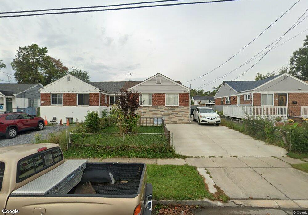
7910 25th Ave Adelphi, MD 20783
Estimated Value: $319,453 - $419,000
5
Beds
2
Baths
850
Sq Ft
$425/Sq Ft
Est. Value
About This Home
This home is located at 7910 25th Ave, Adelphi, MD 20783 and is currently estimated at $361,113, approximately $424 per square foot. 7910 25th Ave is a home located in Prince George's County with nearby schools including Mary Harris Jones Elementary School, Buck Lodge Middle School, and High Point High School.
Ownership History
Date
Name
Owned For
Owner Type
Purchase Details
Closed on
Apr 22, 2004
Sold by
Saravia Manuel D
Bought by
Martinez Rafael A and Martinez Alejandrina
Current Estimated Value
Purchase Details
Closed on
Jan 30, 2003
Sold by
Paul Olander F and Paul Marie F
Bought by
Saravia Manuel D
Purchase Details
Closed on
Aug 16, 1999
Sold by
Paul Olander F
Bought by
Paul Olander F and Paul Marie France
Purchase Details
Closed on
Feb 4, 1999
Sold by
Paul Olander F and Sanchez Mayra E
Bought by
Paul Olander F
Create a Home Valuation Report for This Property
The Home Valuation Report is an in-depth analysis detailing your home's value as well as a comparison with similar homes in the area
Home Values in the Area
Average Home Value in this Area
Purchase History
| Date | Buyer | Sale Price | Title Company |
|---|---|---|---|
| Martinez Rafael A | $198,500 | -- | |
| Saravia Manuel D | $153,000 | -- | |
| Paul Olander F | -- | -- | |
| Paul Olander F | -- | -- |
Source: Public Records
Tax History
| Year | Tax Paid | Tax Assessment Tax Assessment Total Assessment is a certain percentage of the fair market value that is determined by local assessors to be the total taxable value of land and additions on the property. | Land | Improvement |
|---|---|---|---|---|
| 2025 | $4,649 | $270,900 | $100,000 | $170,900 |
| 2024 | $4,649 | $286,600 | $100,000 | $186,600 |
| 2023 | $4,463 | $274,133 | $0 | $0 |
| 2022 | $5,864 | $261,667 | $0 | $0 |
| 2021 | $3,173 | $249,200 | $100,000 | $149,200 |
| 2020 | $3,065 | $230,367 | $0 | $0 |
| 2019 | $2,939 | $211,533 | $0 | $0 |
| 2018 | $2,802 | $192,700 | $75,000 | $117,700 |
| 2017 | $2,689 | $176,400 | $0 | $0 |
| 2016 | -- | $160,100 | $0 | $0 |
| 2015 | $2,706 | $143,800 | $0 | $0 |
| 2014 | $2,706 | $143,800 | $0 | $0 |
Source: Public Records
Map
Nearby Homes
- 2410 Lewisdale Dr
- 7985 Riggs Rd Unit 1
- 7983 Riggs Rd Unit 3
- 7981 Riggs Rd Unit 2
- 7975 Riggs Rd Unit 4
- 1926 Lebanon St
- 7969 Riggs Rd Unit 9
- 7973 Riggs Rd Unit 2
- 7967 Riggs Rd Unit 7967-10
- 8109 Riggs Rd
- 2415 Fordham Place
- 7965 18th Ave
- 7971 18th Ave
- 7917 18th Ave
- 3425 Rutgers St
- 7402 211 18th Ave Unit 23
- 2110 Rolander St
- 2205 Calvert St
- 2105 Ruatan St
- 8210 15th Place