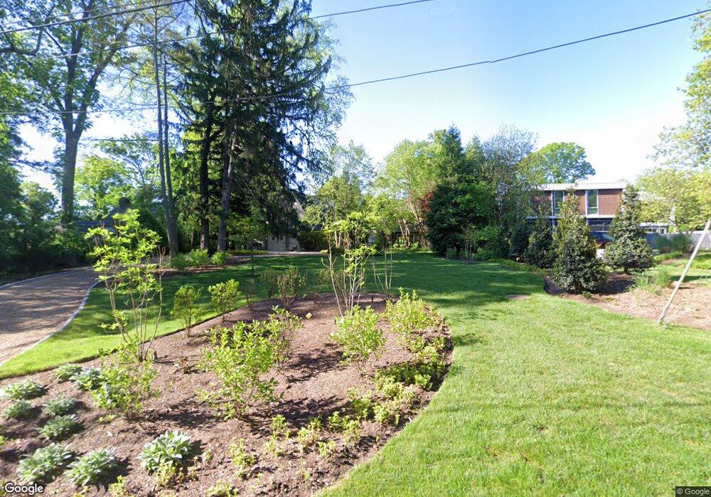
7910 Riverside Dr Cabin John, MD 20818
Estimated Value: $2,431,000 - $3,174,348
Studio
4
Baths
6,944
Sq Ft
$395/Sq Ft
Est. Value
About This Home
This home is located at 7910 Riverside Dr, Cabin John, MD 20818 and is currently estimated at $2,739,837, approximately $394 per square foot. 7910 Riverside Dr is a home located in Montgomery County with nearby schools including Bannockburn Elementary School, Thomas W. Pyle Middle School, and Walt Whitman High School.
Ownership History
Date
Name
Owned For
Owner Type
Purchase Details
Closed on
Jul 10, 2006
Sold by
Rothman Mark S and Rothman S
Bought by
Smith Richard B and Smith Julie A
Current Estimated Value
Home Financials for this Owner
Home Financials are based on the most recent Mortgage that was taken out on this home.
Original Mortgage
$700,000
Outstanding Balance
$412,121
Interest Rate
6.5%
Mortgage Type
Purchase Money Mortgage
Estimated Equity
$2,327,716
Purchase Details
Closed on
Jun 12, 2006
Sold by
Rothman Mark S and Rothman S
Bought by
Smith Richard B and Smith Julie A
Home Financials for this Owner
Home Financials are based on the most recent Mortgage that was taken out on this home.
Original Mortgage
$700,000
Outstanding Balance
$412,121
Interest Rate
6.5%
Mortgage Type
Purchase Money Mortgage
Estimated Equity
$2,327,716
Create a Home Valuation Report for This Property
The Home Valuation Report is an in-depth analysis detailing your home's value as well as a comparison with similar homes in the area
Home Values in the Area
Average Home Value in this Area
Purchase History
| Date | Buyer | Sale Price | Title Company |
|---|---|---|---|
| Smith Richard B | $1,320,000 | -- | |
| Smith Richard B | $1,320,000 | -- |
Source: Public Records
Mortgage History
| Date | Status | Borrower | Loan Amount |
|---|---|---|---|
| Open | Smith Richard B | $700,000 | |
| Closed | Smith Richard B | $700,000 |
Source: Public Records
Tax History
| Year | Tax Paid | Tax Assessment Tax Assessment Total Assessment is a certain percentage of the fair market value that is determined by local assessors to be the total taxable value of land and additions on the property. | Land | Improvement |
|---|---|---|---|---|
| 2025 | $32,282 | $3,140,300 | $1,110,100 | $2,030,200 |
| 2024 | $32,282 | $2,716,967 | $0 | $0 |
| 2023 | $28,074 | $2,293,633 | $0 | $0 |
| 2022 | $20,839 | $1,870,300 | $969,800 | $900,500 |
| 2021 | $20,710 | $1,870,300 | $969,800 | $900,500 |
| 2020 | $20,710 | $1,870,300 | $969,800 | $900,500 |
| 2019 | $22,776 | $2,071,600 | $1,163,900 | $907,700 |
| 2018 | $22,678 | $2,061,767 | $0 | $0 |
| 2017 | $22,972 | $2,051,933 | $0 | $0 |
| 2016 | -- | $2,042,100 | $0 | $0 |
| 2015 | $13,365 | $1,927,900 | $0 | $0 |
| 2014 | $13,365 | $1,813,700 | $0 | $0 |
Source: Public Records
Map
Nearby Homes
- 6411 83rd Place
- 7630 Tomlinson Ave Unit L16
- 6514 76th St
- 6710 Wemberly Way
- 6707 Lupine Ln
- 612 Rivercrest Dr
- 7108 Broxburn Dr
- 7115 Crail Dr
- 7024 Green Oak Dr
- 7502 Nevis Rd
- 725 Lawton St
- 913 Whann Ave
- 658 Live Oak Dr
- 6804 Benjamin St
- 8213 River Quarry Place
- 6705 Goldsboro Rd
- 7008 Amy Ln
- 6625 Weatheford Ct
- 8301 Rising Ridge Way
- 7708 Beech Tree Rd
- 7906 Riverside Dr
- 7914 Riverside Dr
- 8000 Riverside Dr
- 8004 Riverside Dr
- 6415 79th St
- 6419 79th St
- 8008 Riverside Dr
- 7904 Woodrow Place
- 6423 79th St
- 8010 Riverside Dr
- 6416 79th St
- 7810 Woodrow Place
- 7808 Woodrow Place
- 8014 Riverside Dr
- 6412 79th St
- 6420 79th St
- 6420 79th St
- 6425 79th St
- 6406 78th St
- 6427 79th St
Your Personal Tour Guide
Ask me questions while you tour the home.