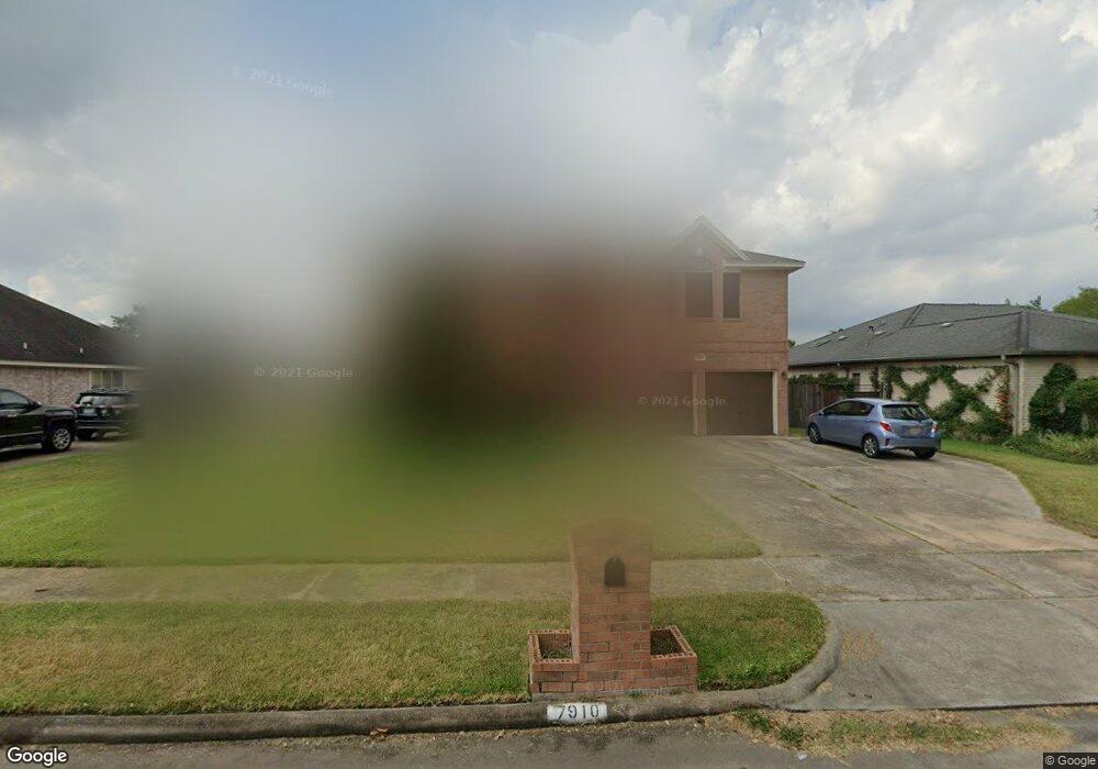
7910 Wolfield Ln Houston, TX 77071
Brays Oaks NeighborhoodEstimated Value: $468,000 - $569,000
4
Beds
3
Baths
2,665
Sq Ft
$190/Sq Ft
Est. Value
About This Home
This home is located at 7910 Wolfield Ln, Houston, TX 77071 and is currently estimated at $506,463, approximately $190 per square foot. 7910 Wolfield Ln is a home located in Harris County with nearby schools including A.A. Milne Elementary School, Welch Middle School, and Westbury High School.
Ownership History
Date
Name
Owned For
Owner Type
Purchase Details
Closed on
Jul 2, 1998
Sold by
Promenade Homes Inc
Bought by
Smith Freddie L
Current Estimated Value
Home Financials for this Owner
Home Financials are based on the most recent Mortgage that was taken out on this home.
Original Mortgage
$106,600
Outstanding Balance
$21,967
Interest Rate
7.08%
Estimated Equity
$484,496
Create a Home Valuation Report for This Property
The Home Valuation Report is an in-depth analysis detailing your home's value as well as a comparison with similar homes in the area
Home Values in the Area
Average Home Value in this Area
Purchase History
| Date | Buyer | Sale Price | Title Company |
|---|---|---|---|
| Smith Freddie L | -- | Regency Title |
Source: Public Records
Mortgage History
| Date | Status | Borrower | Loan Amount |
|---|---|---|---|
| Open | Smith Freddie L | $106,600 |
Source: Public Records
Tax History
| Year | Tax Paid | Tax Assessment Tax Assessment Total Assessment is a certain percentage of the fair market value that is determined by local assessors to be the total taxable value of land and additions on the property. | Land | Improvement |
|---|---|---|---|---|
| 2025 | $241 | $554,247 | $183,467 | $370,780 |
| 2024 | $241 | $523,579 | $131,048 | $392,531 |
| 2023 | $241 | $499,301 | $80,376 | $418,925 |
| 2022 | $6,506 | $377,938 | $34,946 | $342,992 |
| 2021 | $5,989 | $256,950 | $34,946 | $222,004 |
| 2020 | $6,479 | $256,950 | $34,946 | $222,004 |
| 2019 | $7,113 | $271,556 | $34,946 | $236,610 |
| 2018 | $1,804 | $245,820 | $34,946 | $210,874 |
| 2017 | $6,329 | $245,820 | $34,946 | $210,874 |
| 2016 | $5,754 | $218,903 | $28,394 | $190,509 |
| 2015 | $1,861 | $218,903 | $28,394 | $190,509 |
| 2014 | $1,861 | $181,018 | $28,394 | $152,624 |
Source: Public Records
Map
Nearby Homes
- 7927 Wolfield Ln
- 7902 Hopewell Ln
- 7902 Duffield Ln
- 11280 Braes Forest Dr Unit 105
- 7735 Quail Meadow Dr
- 7822 Albin Ln
- 11131 Kitty Brook Dr
- 7735 Teal Run Dr
- 7914 Ludington Dr
- 7714 Teal Run Dr
- 8018 Candle Ln
- 7715 Coachwood Dr
- 8006 N Circle Dr
- 0 E Circle Dr
- 7722 Moondance Ln
- 12007 Lakeway Ct
- 9102 Highland Northern Way
- 11811 Braesridge Dr
- 7831 Bankside Dr
- 11913 Fondren Meadow Dr
- 7906 Wolfield Ln
- 7914 Wolfield Ln
- 7918 Wolfield Ln
- 7902 Wolfield Ln
- 7911 Wolfield Ln
- 7915 Wolfield Ln
- 7907 Wolfield Ln
- 7915 Cobblefield Ln
- 7911 Cobblefield Ln
- 7919 Cobblefield Ln
- 7922 Wolfield Ln
- 7919 Wolfield Ln
- 7903 Wolfield Ln
- 7907 Cobblefield Ln
- 7923 Cobblefield Ln
- 7903 Cobblefield Ln
- 7927 Cobblefield Ln
- 7923 Wolfield Ln
- 7835 W Bellfort St
- 7910 Quail Meadow Dr
Your Personal Tour Guide
Ask me questions while you tour the home.