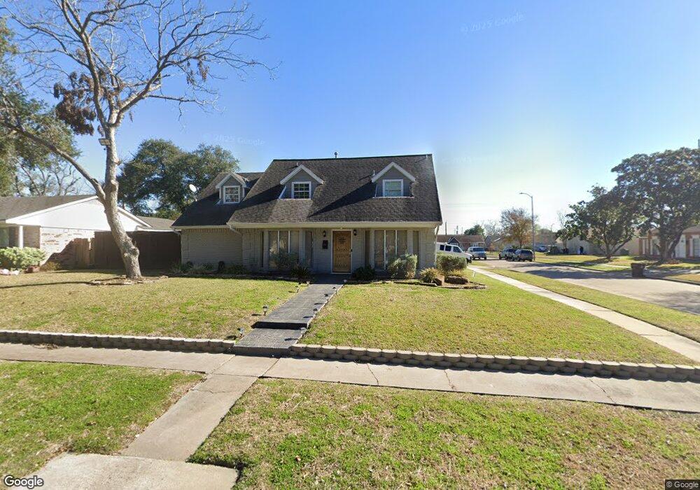
7911 Augustine Dr Houston, TX 77036
Chinatown NeighborhoodEstimated Value: $343,000 - $396,000
5
Beds
4
Baths
2,756
Sq Ft
$131/Sq Ft
Est. Value
About This Home
This home is located at 7911 Augustine Dr, Houston, TX 77036 and is currently estimated at $361,478, approximately $131 per square foot. 7911 Augustine Dr is a home located in Harris County with nearby schools including Ed White Elementary School, Sugar Grove Academy, and Sharpstown High School.
Ownership History
Date
Name
Owned For
Owner Type
Purchase Details
Closed on
May 16, 2003
Sold by
Rojas Absalon
Bought by
Macias Martin and Macias Gloria E
Current Estimated Value
Home Financials for this Owner
Home Financials are based on the most recent Mortgage that was taken out on this home.
Original Mortgage
$58,738
Outstanding Balance
$24,746
Interest Rate
5.37%
Mortgage Type
Purchase Money Mortgage
Estimated Equity
$336,732
Create a Home Valuation Report for This Property
The Home Valuation Report is an in-depth analysis detailing your home's value as well as a comparison with similar homes in the area
Home Values in the Area
Average Home Value in this Area
Purchase History
| Date | Buyer | Sale Price | Title Company |
|---|---|---|---|
| Macias Martin | -- | Fidelity National Title |
Source: Public Records
Mortgage History
| Date | Status | Borrower | Loan Amount |
|---|---|---|---|
| Open | Macias Martin | $58,738 |
Source: Public Records
Tax History
| Year | Tax Paid | Tax Assessment Tax Assessment Total Assessment is a certain percentage of the fair market value that is determined by local assessors to be the total taxable value of land and additions on the property. | Land | Improvement |
|---|---|---|---|---|
| 2025 | $4,511 | $365,695 | $97,200 | $268,495 |
| 2024 | $4,511 | $320,794 | $97,200 | $223,594 |
| 2023 | $4,511 | $347,501 | $97,200 | $250,301 |
| 2022 | $6,790 | $354,646 | $56,700 | $297,946 |
| 2021 | $5,453 | $270,118 | $48,600 | $221,518 |
| 2020 | $5,320 | $212,683 | $48,600 | $164,083 |
| 2019 | $5,552 | $212,683 | $48,600 | $164,083 |
| 2018 | $3,979 | $210,414 | $48,600 | $161,814 |
| 2017 | $5,186 | $224,103 | $48,600 | $175,503 |
| 2016 | $4,715 | $196,000 | $48,600 | $147,400 |
| 2015 | -- | $157,000 | $48,600 | $108,400 |
| 2014 | -- | $157,036 | $48,600 | $108,436 |
Source: Public Records
Map
Nearby Homes
- 8011 La Roche Ln
- 8923 Hendon Ln
- 9002 Grape St
- 9030 Troulon Dr
- 9010 Imogene St Unit A
- 9019 Grape St
- 9115 Tanager St
- 7303 Augustine Dr
- 8334 Jorine Dr Unit 8733
- 8218 Hazen St
- 8979 Imogene St
- 8973 Imogene St
- 7965 Kendalia Dr
- 8114 Pella Dr
- 7911 Kendalia Dr
- 7939 Kendalia Dr
- 8207 Langdon Ln
- 8119 Concho St
- 8818 Roos Rd
- 8530 Roos Rd
- 7907 Augustine Dr
- 7910 La Roche Ln
- 7906 La Roche Ln
- 7903 Augustine Dr
- 8711 Hazen St
- 8802 Hazen St
- 8707 Hazen St
- 7902 La Roche Ln
- 8715 Hazen St
- 8703 Hazen St
- 8803 Concho St
- 7819 Augustine Dr
- 7818 La Roche Ln
- 8806 Hazen St
- 8803 Hazen St
- 8807 Concho St
- 7815 Augustine Dr
- 7814 La Roche Ln
- 8810 Hazen St
- 7911 La Roche Ln
Your Personal Tour Guide
Ask me questions while you tour the home.