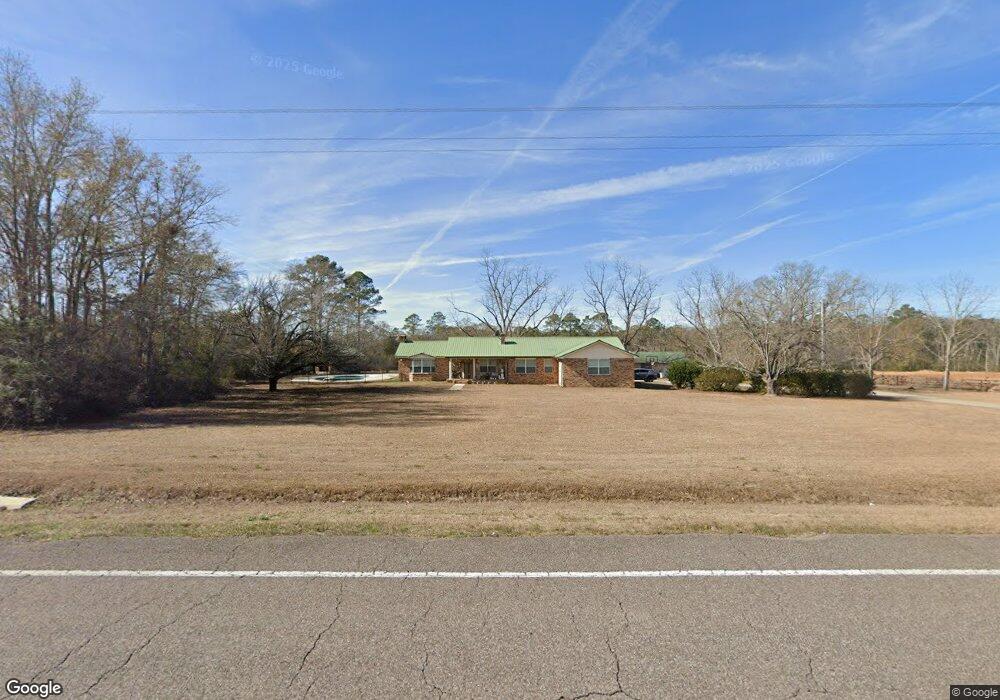
7911 State Highway 83 Defuniak Springs, FL 32433
Estimated Value: $308,000 - $483,000
3
Beds
2
Baths
2,371
Sq Ft
$158/Sq Ft
Est. Value
About This Home
This home is located at 7911 State Highway 83, Defuniak Springs, FL 32433 and is currently estimated at $374,939, approximately $158 per square foot. 7911 State Highway 83 is a home located in Walton County with nearby schools including Maude Saunders Elementary School, West Defuniak Elementary School, and Walton Middle School.
Ownership History
Date
Name
Owned For
Owner Type
Purchase Details
Closed on
Dec 4, 2020
Sold by
Bodie William B
Bought by
Poole Ryan and Poole Gillian
Current Estimated Value
Home Financials for this Owner
Home Financials are based on the most recent Mortgage that was taken out on this home.
Original Mortgage
$218,500
Outstanding Balance
$194,530
Interest Rate
2.7%
Mortgage Type
New Conventional
Estimated Equity
$180,409
Purchase Details
Closed on
Feb 2, 2015
Sold by
Bodie Candy H and Bodie William
Bought by
Bodie William B
Create a Home Valuation Report for This Property
The Home Valuation Report is an in-depth analysis detailing your home's value as well as a comparison with similar homes in the area
Home Values in the Area
Average Home Value in this Area
Purchase History
| Date | Buyer | Sale Price | Title Company |
|---|---|---|---|
| Poole Ryan | $230,000 | Mitchell Land & Title Inc | |
| Bodie William B | -- | Attorney |
Source: Public Records
Mortgage History
| Date | Status | Borrower | Loan Amount |
|---|---|---|---|
| Open | Poole Ryan | $218,500 |
Source: Public Records
Tax History Compared to Growth
Tax History
| Year | Tax Paid | Tax Assessment Tax Assessment Total Assessment is a certain percentage of the fair market value that is determined by local assessors to be the total taxable value of land and additions on the property. | Land | Improvement |
|---|---|---|---|---|
| 2024 | $1,384 | $200,442 | -- | -- |
| 2023 | $1,384 | $194,627 | $0 | $0 |
| 2022 | $1,372 | $189,067 | $0 | $0 |
| 2021 | $1,388 | $183,500 | $4,784 | $178,716 |
| 2020 | $1,612 | $166,496 | $7,760 | $158,736 |
| 2019 | $1,582 | $164,157 | $7,760 | $156,397 |
| 2018 | $1,559 | $160,945 | $0 | $0 |
| 2017 | $1,562 | $160,618 | $7,760 | $152,858 |
| 2016 | $1,567 | $159,458 | $0 | $0 |
| 2015 | $1,514 | $151,258 | $0 | $0 |
| 2014 | $1,553 | $153,018 | $0 | $0 |
Source: Public Records
Map
Nearby Homes
- 510 Railroad Ave
- LOTS 52&53 Co 183b
- 0000 No Name
- 91 North St
- 685 Pinewood Dr
- Lot 43 Pinewood Dr
- 991 Pinewood Dr
- Lot 22 10 Lake Dr
- Lot 24 10 Lake Dr
- 1049 Pinewood Dr
- 327 Ten Lake Dr
- 402 10 Lake Dr
- 5268 Florida 83
- 10 Lake Ct
- 1025 Ten Lake Dr
- 5213 Florida 83
- 000 County Highway 1084
- 000 County Road 1084
- 263 County Highway 1883
- XXX Triple G Rd
- 8085 State Highway 83 N
- 7683 State Highway 83
- 7497 State Highway 83
- 7497 Florida 83
- 432 County Road 185
- 432 County Highway 185
- 264 Laird Rd
- 362 Laird Rd
- 442 Laird Rd
- 511 Bartlett Rd
- 8663 Highway 83 N Unit A
- 7024 State Highway 83
- 284 Vann Rd
- 180 Vann Ave
- 240 Vann Rd
- 168 Daniel Wilkerson Rd
- 990 County Highway 185
- 121 Daniel Wilkerson Rd
- 205 Daniel Wilkerson Rd