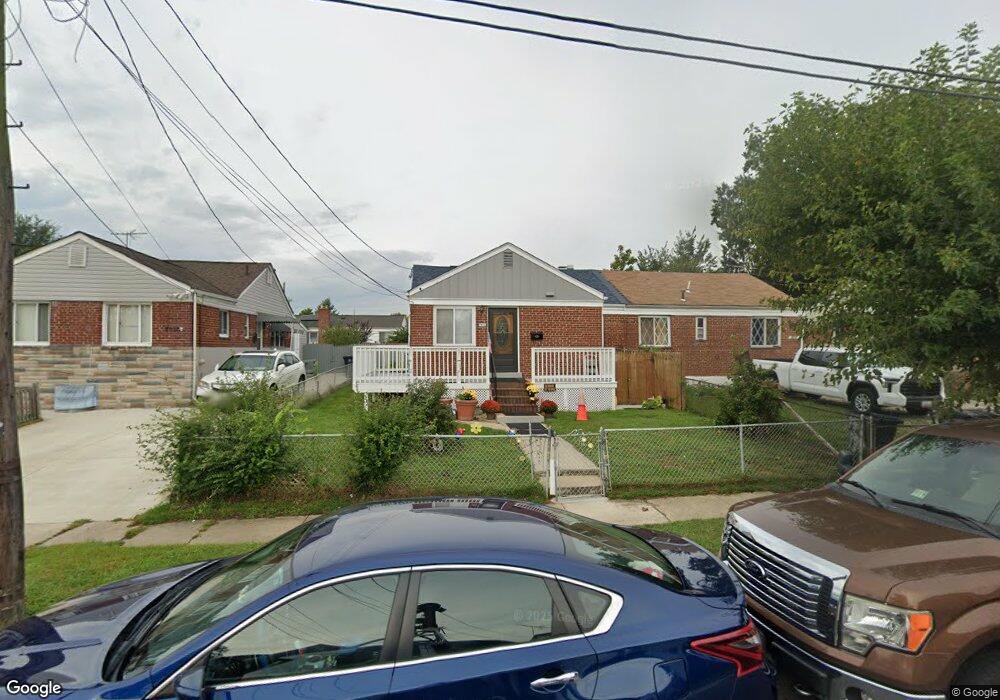
7912 25th Ave Adelphi, MD 20783
Estimated Value: $241,000 - $363,000
Studio
1
Bath
850
Sq Ft
$349/Sq Ft
Est. Value
About This Home
This home is located at 7912 25th Ave, Adelphi, MD 20783 and is currently estimated at $296,811, approximately $349 per square foot. 7912 25th Ave is a home located in Prince George's County with nearby schools including Mary Harris Jones Elementary School, Buck Lodge Middle School, and High Point High School.
Ownership History
Date
Name
Owned For
Owner Type
Purchase Details
Closed on
Jan 28, 2005
Sold by
Duran Ernest A
Bought by
Guitierrez Jose and Guitierrez Martha
Current Estimated Value
Home Financials for this Owner
Home Financials are based on the most recent Mortgage that was taken out on this home.
Original Mortgage
$225,040
Outstanding Balance
$114,070
Interest Rate
5.81%
Mortgage Type
New Conventional
Estimated Equity
$182,741
Purchase Details
Closed on
Sep 22, 2000
Sold by
Steele Dale I and Steele Fannie
Bought by
Duran Ernest A
Create a Home Valuation Report for This Property
The Home Valuation Report is an in-depth analysis detailing your home's value as well as a comparison with similar homes in the area
Home Values in the Area
Average Home Value in this Area
Purchase History
| Date | Buyer | Sale Price | Title Company |
|---|---|---|---|
| Guitierrez Jose | $232,000 | -- | |
| Duran Ernest A | $85,000 | -- |
Source: Public Records
Mortgage History
| Date | Status | Borrower | Loan Amount |
|---|---|---|---|
| Open | Guitierrez Jose | $225,040 |
Source: Public Records
Tax History
| Year | Tax Paid | Tax Assessment Tax Assessment Total Assessment is a certain percentage of the fair market value that is determined by local assessors to be the total taxable value of land and additions on the property. | Land | Improvement |
|---|---|---|---|---|
| 2025 | $4,498 | $261,500 | $100,000 | $161,500 |
| 2024 | $4,498 | $276,400 | $100,000 | $176,400 |
| 2023 | $4,321 | $264,600 | $0 | $0 |
| 2022 | $4,146 | $252,800 | $0 | $0 |
| 2021 | $3,971 | $241,000 | $100,000 | $141,000 |
| 2020 | $3,705 | $223,100 | $0 | $0 |
| 2019 | $3,439 | $205,200 | $0 | $0 |
| 2018 | $3,173 | $187,300 | $75,000 | $112,300 |
| 2017 | $2,942 | $171,767 | $0 | $0 |
| 2016 | -- | $156,233 | $0 | $0 |
| 2015 | $2,753 | $140,700 | $0 | $0 |
| 2014 | $2,753 | $140,700 | $0 | $0 |
Source: Public Records
Map
Nearby Homes
- 2410 Lewisdale Dr
- 7985 Riggs Rd Unit 1
- 7983 Riggs Rd Unit 3
- 7981 Riggs Rd Unit 2
- 7975 Riggs Rd Unit 4
- 1926 Lebanon St
- 7969 Riggs Rd Unit 9
- 7973 Riggs Rd Unit 2
- 7967 Riggs Rd Unit 7967-10
- 8109 Riggs Rd
- 2415 Fordham Place
- 7965 18th Ave
- 7971 18th Ave
- 7917 18th Ave
- 3425 Rutgers St
- 7402 211 18th Ave Unit 23
- 2110 Rolander St
- 2205 Calvert St
- 2105 Ruatan St
- 8210 15th Place