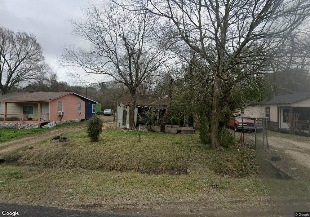
7914 Maxroy St Houston, TX 77088
Acres Homes NeighborhoodEstimated Value: $141,612 - $168,000
2
Beds
1
Bath
783
Sq Ft
$198/Sq Ft
Est. Value
About This Home
This home is located at 7914 Maxroy St, Houston, TX 77088 and is currently estimated at $154,653, approximately $197 per square foot. 7914 Maxroy St is a home located in Harris County with nearby schools including Reece Academy, Anderson Academy, and Houston Academy.
Ownership History
Date
Name
Owned For
Owner Type
Purchase Details
Closed on
May 31, 2019
Sold by
2018 Longterm Re Llc
Bought by
Arevalo Huezo Patricio A
Current Estimated Value
Home Financials for this Owner
Home Financials are based on the most recent Mortgage that was taken out on this home.
Original Mortgage
$59,000
Outstanding Balance
$39,930
Interest Rate
3.9%
Mortgage Type
Purchase Money Mortgage
Estimated Equity
$114,723
Purchase Details
Closed on
Jan 3, 1997
Sold by
B & F Realty Company Inc
Bought by
Reeder James P
Create a Home Valuation Report for This Property
The Home Valuation Report is an in-depth analysis detailing your home's value as well as a comparison with similar homes in the area
Home Values in the Area
Average Home Value in this Area
Purchase History
| Date | Buyer | Sale Price | Title Company |
|---|---|---|---|
| Arevalo Huezo Patricio A | -- | None Available | |
| Reeder James P | -- | -- |
Source: Public Records
Mortgage History
| Date | Status | Borrower | Loan Amount |
|---|---|---|---|
| Open | Arevalo Huezo Patricio A | $59,000 |
Source: Public Records
Tax History Compared to Growth
Tax History
| Year | Tax Paid | Tax Assessment Tax Assessment Total Assessment is a certain percentage of the fair market value that is determined by local assessors to be the total taxable value of land and additions on the property. | Land | Improvement |
|---|---|---|---|---|
| 2025 | $2,253 | $103,068 | $70,775 | $32,293 |
| 2024 | $2,253 | $99,280 | $67,944 | $31,336 |
| 2023 | $2,253 | $100,988 | $67,944 | $33,044 |
| 2022 | $2,020 | $84,222 | $56,620 | $27,602 |
| 2021 | $1,416 | $56,373 | $28,664 | $27,709 |
| 2020 | $1,087 | $41,200 | $28,664 | $12,536 |
| 2019 | $830 | $43,719 | $21,233 | $22,486 |
| 2018 | $497 | $34,621 | $13,447 | $21,174 |
| 2017 | $529 | $19,942 | $5,662 | $14,280 |
| 2016 | $529 | $19,942 | $5,662 | $14,280 |
| 2015 | $531 | $19,942 | $5,662 | $14,280 |
| 2014 | $531 | $19,942 | $5,662 | $14,280 |
Source: Public Records
Map
Nearby Homes
- 7817 Maxroy St
- 7818 Hanfro Ln Unit A/B
- 7217 Wheatley St
- 7805 Wheatley St
- 7903 James Franklin St
- 1093 Junell St
- 0 S Victory Dr Unit 48484102
- 1207 S Victory Dr
- 0 S Victory Dr
- 8609 Wheatley St
- 7921 Virgil St
- 1052 Marjorie St
- 8114 Wheatley St
- 1050 Marjorie St
- 8114 Double Unit C/D
- 8114 Double Unit A/B
- 1053 Marjorie St
- 0 Prairie View Dr
- 8307 Double
- 1030 Reverend b j Lewis Dr