79170 Cove Beach Rd Arch Cape, OR 97102
Estimated Value: $1,477,730 - $1,774,000
5
Beds
5
Baths
3,640
Sq Ft
$459/Sq Ft
Est. Value
About This Home
This home is located at 79170 Cove Beach Rd, Arch Cape, OR 97102 and is currently estimated at $1,671,433, approximately $459 per square foot. 79170 Cove Beach Rd is a home located in Clatsop County with nearby schools including Seaside High School and Fire Mountain School.
Ownership History
Date
Name
Owned For
Owner Type
Purchase Details
Closed on
Aug 22, 2013
Sold by
Zmolek Gerry and Zmolek Cynthia
Bought by
Rumker David C and Phillips Susan B
Current Estimated Value
Home Financials for this Owner
Home Financials are based on the most recent Mortgage that was taken out on this home.
Original Mortgage
$300,000
Outstanding Balance
$71,337
Interest Rate
3.52%
Mortgage Type
New Conventional
Estimated Equity
$1,600,096
Purchase Details
Closed on
Jun 22, 2005
Sold by
Morgan Bret A and Morgan Doreen A
Bought by
Zmolek Gerry R and Zmolek Cynthia
Home Financials for this Owner
Home Financials are based on the most recent Mortgage that was taken out on this home.
Original Mortgage
$551,200
Interest Rate
5.72%
Mortgage Type
Purchase Money Mortgage
Create a Home Valuation Report for This Property
The Home Valuation Report is an in-depth analysis detailing your home's value as well as a comparison with similar homes in the area
Home Values in the Area
Average Home Value in this Area
Purchase History
| Date | Buyer | Sale Price | Title Company |
|---|---|---|---|
| Rumker David C | $625,000 | None Available | |
| Zmolek Gerry R | $689,000 | Ticor Title Ins Co |
Source: Public Records
Mortgage History
| Date | Status | Borrower | Loan Amount |
|---|---|---|---|
| Open | Rumker David C | $300,000 | |
| Previous Owner | Zmolek Gerry R | $551,200 |
Source: Public Records
Tax History Compared to Growth
Tax History
| Year | Tax Paid | Tax Assessment Tax Assessment Total Assessment is a certain percentage of the fair market value that is determined by local assessors to be the total taxable value of land and additions on the property. | Land | Improvement |
|---|---|---|---|---|
| 2024 | $4,725 | $338,607 | -- | -- |
| 2023 | $4,291 | $328,746 | $0 | $0 |
| 2022 | $4,183 | $319,171 | $0 | $0 |
| 2021 | $4,094 | $309,875 | $0 | $0 |
| 2020 | $3,996 | $300,850 | $0 | $0 |
| 2019 | $3,782 | $292,088 | $0 | $0 |
| 2018 | $3,604 | $283,582 | $0 | $0 |
| 2017 | $3,473 | $275,323 | $0 | $0 |
| 2016 | $2,948 | $267,305 | $94,694 | $172,611 |
| 2015 | $2,855 | $259,520 | $91,936 | $167,584 |
| 2014 | $2,768 | $251,962 | $0 | $0 |
| 2013 | -- | $244,625 | $0 | $0 |
Source: Public Records
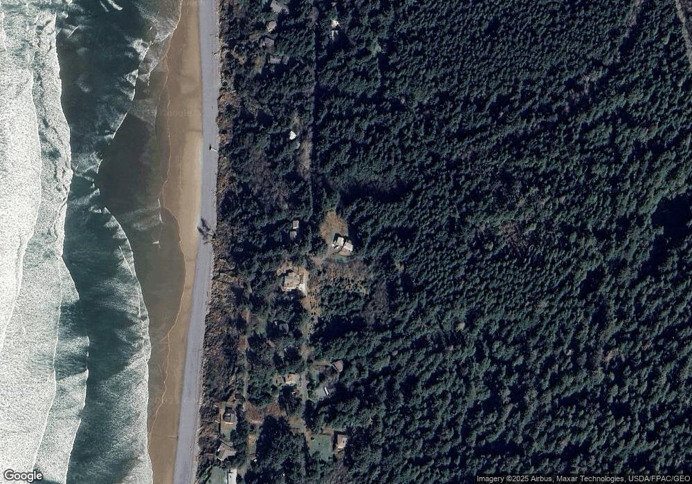
Map
Nearby Homes
- 79274 Ray Brown Rd
- 0 Clatsop Ln Unit 25-693
- 0 Clatsop Ln Unit Lot 408 662114611
- 31911 Clatsop Ln
- 79519 Ray Brown Rd
- 0 Tide Ave
- 79906 Greenleaf Rd
- 0 Greenleaf Rd
- 0 Big Cedar Ct Unit Lot 13 25-380
- 0 Big Cedar Ct Unit 25-710
- 0 Big Cedar Ct Unit Lot 13 422540938
- 80444 Carnahan Rd
- 32796 Picture Windows Ln
- 0 Vl Sunset (Tl 300) Dr Unit 24-437
- 0 Vl Sunset (Tl 300) Dr Unit 24448744
- 7858 Sunset Dr
- VL Meadow Loop
- 8700 Braeridge Dr
- 0 Braeridge Dr Unit 62 25-391
- 0 Braeridge Dr Unit 25-729
- 0 Cove Beach Rd Unit 11-335
- 0 Cove Beach Rd Unit 15-1747
- 0 Cove Beach Rd Unit 11012432
- 0 Cove Beach Rd Unit 203 14389898
- 0 Cove Beach Rd Unit 1504
- 79252 Ray Brown Rd
- 79248 Ray Brown Rd Unit Cove Beach
- 79248 Ray Brown Rd
- 79238 Ray Brown Rd
- 79236 Ray Brown Rd
- 79209 Ray Brown Rd
- 79210 Ray Brown Rd
- ADJ 79209 Ray Brown Rd
- 79308 Ray Brown Rd
- 79332 Ray Brown Rd
- 79338 Ray Brown Rd
- 79201 Ray Brown Rd
- 79077 Cove Beach Rd
- 79084 Cove Beach Rd
- 79357 Ray Brown Rd