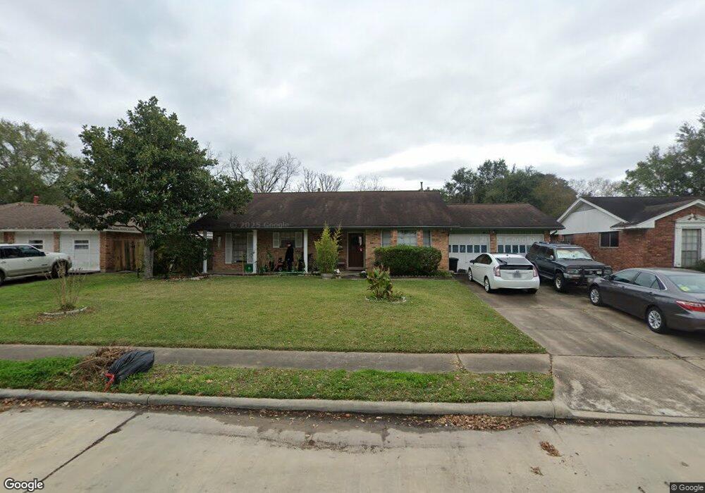
7919 Leader St Houston, TX 77036
Sharpstown NeighborhoodEstimated Value: $258,144 - $300,000
3
Beds
2
Baths
1,615
Sq Ft
$171/Sq Ft
Est. Value
About This Home
This home is located at 7919 Leader St, Houston, TX 77036 and is currently estimated at $276,536, approximately $171 per square foot. 7919 Leader St is a home located in Harris County with nearby schools including Neff Elementary School, Sugar Grove Academy, and Sharpstown High School.
Ownership History
Date
Name
Owned For
Owner Type
Purchase Details
Closed on
Apr 7, 2017
Sold by
Phan Ren Linhgoc
Bought by
Phan Julie Ngoc
Current Estimated Value
Purchase Details
Closed on
Feb 1, 2012
Sold by
Phan Ren Linhngoc
Bought by
Phan Tuan Benjamin and Phan Julie Ngoc Thi
Purchase Details
Closed on
Jan 1, 2001
Sold by
Hendon Bobby G and Hendon Cheryl
Bought by
Newman Charles A
Create a Home Valuation Report for This Property
The Home Valuation Report is an in-depth analysis detailing your home's value as well as a comparison with similar homes in the area
Home Values in the Area
Average Home Value in this Area
Purchase History
| Date | Buyer | Sale Price | Title Company |
|---|---|---|---|
| Phan Julie Ngoc | -- | None Available | |
| Phan Tuan Benjamin | -- | None Available | |
| Newman Charles A | -- | -- |
Source: Public Records
Tax History Compared to Growth
Tax History
| Year | Tax Paid | Tax Assessment Tax Assessment Total Assessment is a certain percentage of the fair market value that is determined by local assessors to be the total taxable value of land and additions on the property. | Land | Improvement |
|---|---|---|---|---|
| 2025 | $48 | $247,056 | $136,930 | $110,126 |
| 2024 | $48 | $222,677 | $98,894 | $123,783 |
| 2023 | $30 | $233,128 | $98,894 | $134,234 |
| 2022 | $4,193 | $203,075 | $60,858 | $142,217 |
| 2021 | $3,893 | $179,647 | $60,858 | $118,789 |
| 2020 | $3,799 | $151,863 | $60,858 | $91,005 |
| 2019 | $3,655 | $140,000 | $45,643 | $94,357 |
| 2018 | $947 | $146,831 | $45,643 | $101,188 |
| 2017 | $3,993 | $181,827 | $45,643 | $136,184 |
| 2016 | $3,630 | $174,660 | $45,643 | $129,017 |
| 2015 | $2,198 | $156,729 | $45,643 | $111,086 |
| 2014 | $2,198 | $135,092 | $45,643 | $89,449 |
Source: Public Records
Map
Nearby Homes
- 7819 Bellaire Blvd
- 8314 Edgemoor Dr
- 8019 Sharpview Dr
- 6602 Harbor Town Dr Unit 1207
- 6602 Harbor Town Dr Unit 1202
- 6500 Harbor Town Dr Unit 3208
- 6500 Harbor Town Dr Unit 2808
- 6500 Harbor Town Dr Unit 3204
- 6500 Harbor Town Dr Unit 3408
- 6500 Harbor Town Dr Unit 2902
- 7419 Barberton Dr
- 8515 Edgemoor Dr
- 8223 Golf Green Cir
- 6403 Fondren Rd Unit D25
- 8527 Edgemoor Dr
- 8530 Roos Rd
- 7302 Burning Tree Dr
- 8119 Concho St
- 7655 Bellerive Dr Unit 3
- 7302 Redding Rd
- 8003 Leader St
- 7915 Leader St
- 7918 Edgemoor Dr
- 7914 Edgemoor Dr
- 7911 Leader St
- 8007 Leader St
- 8002 Edgemoor Dr
- 7918 Leader St
- 7910 Edgemoor Dr
- 8006 Edgemoor Dr
- 8002 Leader St
- 7914 Leader St
- 7907 Leader St
- 8011 Leader St
- 8006 Leader St
- 7910 Leader St
- 7906 Edgemoor Dr
- 8010 Edgemoor Dr
- 7906 Leader St
- 8010 Leader St