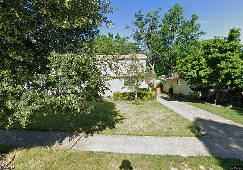
792 E 240th St Euclid, OH 44123
Estimated Value: $133,000 - $176,000
3
Beds
2
Baths
1,350
Sq Ft
$117/Sq Ft
Est. Value
About This Home
This home is located at 792 E 240th St, Euclid, OH 44123 and is currently estimated at $157,469, approximately $116 per square foot. 792 E 240th St is a home located in Cuyahoga County with nearby schools including Bluestone Elementary School, Euclid High School, and Pinnacle Academy.
Ownership History
Date
Name
Owned For
Owner Type
Purchase Details
Closed on
Oct 18, 1996
Sold by
Sick Robert W Von
Bought by
Frieson Robert E and Frieson Sabrina C
Current Estimated Value
Home Financials for this Owner
Home Financials are based on the most recent Mortgage that was taken out on this home.
Original Mortgage
$88,000
Interest Rate
8.44%
Mortgage Type
New Conventional
Purchase Details
Closed on
Jan 1, 1975
Bought by
Ii Vonsick R A and P A
Create a Home Valuation Report for This Property
The Home Valuation Report is an in-depth analysis detailing your home's value as well as a comparison with similar homes in the area
Home Values in the Area
Average Home Value in this Area
Purchase History
| Date | Buyer | Sale Price | Title Company |
|---|---|---|---|
| Frieson Robert E | $110,000 | -- | |
| Ii Vonsick R A | -- | -- |
Source: Public Records
Mortgage History
| Date | Status | Borrower | Loan Amount |
|---|---|---|---|
| Previous Owner | Frieson Robert E | $88,000 |
Source: Public Records
Tax History
| Year | Tax Paid | Tax Assessment Tax Assessment Total Assessment is a certain percentage of the fair market value that is determined by local assessors to be the total taxable value of land and additions on the property. | Land | Improvement |
|---|---|---|---|---|
| 2024 | $3,569 | $52,115 | $9,660 | $42,455 |
| 2023 | $3,028 | $35,080 | $7,320 | $27,760 |
| 2022 | $2,959 | $35,070 | $7,320 | $27,760 |
| 2021 | $3,297 | $35,070 | $7,320 | $27,760 |
| 2020 | $3,126 | $30,240 | $6,300 | $23,940 |
| 2019 | $2,811 | $86,400 | $18,000 | $68,400 |
| 2018 | $2,839 | $30,240 | $6,300 | $23,940 |
| 2017 | $3,019 | $26,880 | $5,390 | $21,490 |
| 2016 | $3,025 | $26,880 | $5,390 | $21,490 |
| 2015 | $2,753 | $26,880 | $5,390 | $21,490 |
| 2014 | $2,753 | $26,880 | $5,390 | $21,490 |
Source: Public Records
Map
Nearby Homes
- 797 Babbitt Rd Unit 15
- 890 E 250th St
- 24431 Hartland Rd
- 521 Kenwood Dr Unit B-5
- 22751 Fox Ave
- 450 Kenwood Dr Unit D-12
- 450 Kenwood Dr Unit E12
- 825 E 256th St
- 422 Clearview Dr Unit J10
- 461 Kenwood Dr Unit T3
- 421 Kenwood Dr Unit G
- 23298 Williams Ave
- 22931 Arms Ave
- 22670 Arms Ave
- 25650 Richards Ave
- 24791 Drakefield Ave
- 515 E 250th St
- 21670 Crystal Ave
- 334 E 238th St
- 328 E 238th St
- 790 E 240th St
- 794 E 240th St
- 788 E 240th St
- 796 E 240th St
- 786 E 240th St
- 798 E 240th St
- 24011 Russell Ave
- 24010 Russell Ave
- 23900 Colbourne Rd
- 800 E 240th St
- 784 E 240th St
- 24031 Russell Ave
- 23860 Colbourne Rd
- 23212 Bennington Hamlet Cir
- 24030 Russell Ave
- 717 E 240th St
- 802 E 240th St
- 23214 Bennington Hamlet Cir
- 24051 Russell Ave
- 23820 Colbourne Rd
Your Personal Tour Guide
Ask me questions while you tour the home.