Estimated Value: $214,000 - $231,000
3
Beds
2
Baths
1,357
Sq Ft
$166/Sq Ft
Est. Value
About This Home
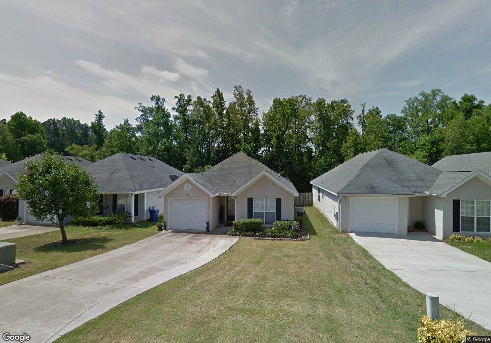
This home is located at 792 Faircloth Commons Rd, Evans, GA 30809 and is currently estimated at $225,751, approximately $166 per square foot. 792 Faircloth Commons Rd is a home located in Columbia County with nearby schools including River Ridge Elementary School, Riverside Middle School, and Lakeside High School.
Ownership History
Date
Name
Owned For
Owner Type
Purchase Details
Closed on
Dec 23, 2014
Sold by
Shurling Martha M
Bought by
Hall Cynthia A S
Current Estimated Value
Home Financials for this Owner
Home Financials are based on the most recent Mortgage that was taken out on this home.
Original Mortgage
$88,000
Outstanding Balance
$67,705
Interest Rate
4.04%
Mortgage Type
New Conventional
Estimated Equity
$158,046
Purchase Details
Closed on
Feb 8, 2001
Sold by
Price Charles Preston
Bought by
Shurling Roger E and Shurling Martha M
Create a Home Valuation Report for This Property
The Home Valuation Report is an in-depth analysis detailing your home's value as well as a comparison with similar homes in the area
Home Values in the Area
Average Home Value in this Area
Purchase History
| Date | Buyer | Sale Price | Title Company |
|---|---|---|---|
| Hall Cynthia A S | $110,000 | -- | |
| Shurling Roger E | $93,900 | -- |
Source: Public Records
Mortgage History
| Date | Status | Borrower | Loan Amount |
|---|---|---|---|
| Open | Hall Cynthia A S | $88,000 |
Source: Public Records
Tax History
| Year | Tax Paid | Tax Assessment Tax Assessment Total Assessment is a certain percentage of the fair market value that is determined by local assessors to be the total taxable value of land and additions on the property. | Land | Improvement |
|---|---|---|---|---|
| 2025 | $653 | $87,785 | $14,104 | $73,681 |
| 2024 | $657 | $85,289 | $12,804 | $72,485 |
| 2023 | $1,121 | $63,623 | $11,604 | $52,019 |
| 2022 | $1,439 | $57,377 | $11,904 | $45,473 |
| 2021 | $1,398 | $53,400 | $9,604 | $43,796 |
| 2020 | $1,389 | $52,010 | $9,004 | $43,006 |
| 2019 | $1,274 | $47,833 | $8,704 | $39,129 |
| 2018 | $1,275 | $47,728 | $8,704 | $39,024 |
| 2017 | $1,352 | $48,387 | $8,704 | $39,683 |
| 2016 | $1,196 | $44,392 | $7,780 | $36,612 |
| 2015 | $1,187 | $43,982 | $7,780 | $36,202 |
| 2014 | $73 | $42,672 | $7,780 | $34,892 |
Source: Public Records
Map
Nearby Homes
- 854 Sparkleberry Rd
- 648 River Oaks Ln
- 809 Woodberry Dr
- 4484 Woodberry Ct
- 4489 Woodberry Ct
- 829 Woodberry Dr
- 726 Whitney Shoals Rd
- 881 Audubon Way
- 814 Audubon Way
- 780 Springbrook Cir
- 4478 Cape Cod Dr
- 802 Sparkleberry Rd
- 800 Sparkleberry Rd
- 525 Pheasant Run Dr
- 4560 Mulberry Creek Dr
- 656 Deerwood Way
- 4418 Pierwood Way
- 4421 Hereford Farm Rd
- 672 Deerwood Way
- 644 Deerwood Way
- 790 Faircloth Commons Rd
- 794 Faircloth Commons Rd
- 796 Faircloth Commons Rd
- 788 Faircloth Commons Rd
- 786 Faircloth Commons Rd
- 798 Faircloth Commons Rd
- 700 Faircloth Ct
- 751 Folly Ct
- 800 Faircloth Commons Rd
- 784 Faircloth Commons Rd
- 702 Faircloth Ct
- 0 Faircloth Commons Rd
- 753 Folly Ct
- 704 Faircloth Ct
- 701 Faircloth Ct
- 782 Faircloth Commons Rd
- 755 Folly Ct
- 703 Faircloth Ct
- 706 Faircloth Ct
- 757 Folly Ct
Your Personal Tour Guide
Ask me questions while you tour the home.