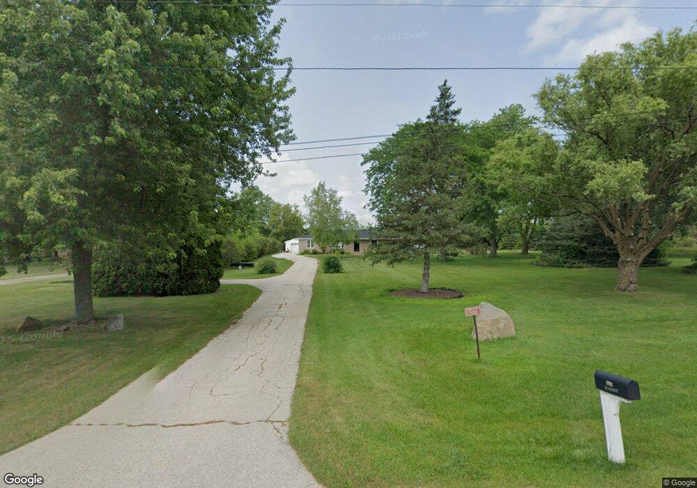
792 Newark Dr E West Bend, WI 53090
Estimated Value: $409,000 - $495,000
Studio
--
Bath
--
Sq Ft
1.94
Acres
About This Home
This home is located at 792 Newark Dr E, West Bend, WI 53090 and is currently estimated at $458,607. 792 Newark Dr E is a home located in Washington County with nearby schools including Kewaskum High School and St Johns Lutheran School.
Ownership History
Date
Name
Owned For
Owner Type
Purchase Details
Closed on
Mar 13, 2020
Sold by
Schinker Amy L and Schinker Peter J
Bought by
Umbaugh Michael W and Umbaugh Gail M
Current Estimated Value
Home Financials for this Owner
Home Financials are based on the most recent Mortgage that was taken out on this home.
Original Mortgage
$253,440
Outstanding Balance
$222,515
Interest Rate
3.5%
Mortgage Type
New Conventional
Estimated Equity
$236,092
Purchase Details
Closed on
Oct 4, 2013
Sold by
Hoffman Ricky N
Bought by
Bores Amy L and Schinker Peter J
Home Financials for this Owner
Home Financials are based on the most recent Mortgage that was taken out on this home.
Original Mortgage
$159,800
Interest Rate
4.56%
Mortgage Type
New Conventional
Create a Home Valuation Report for This Property
The Home Valuation Report is an in-depth analysis detailing your home's value as well as a comparison with similar homes in the area
Home Values in the Area
Average Home Value in this Area
Purchase History
| Date | Buyer | Sale Price | Title Company |
|---|---|---|---|
| Umbaugh Michael W | $288,000 | Matrix Title Company Llc | |
| Bores Amy L | $188,000 | Abstract & Title Company |
Source: Public Records
Mortgage History
| Date | Status | Borrower | Loan Amount |
|---|---|---|---|
| Open | Umbaugh Michael W | $253,440 | |
| Previous Owner | Bores Amy L | $159,800 |
Source: Public Records
Tax History
| Year | Tax Paid | Tax Assessment Tax Assessment Total Assessment is a certain percentage of the fair market value that is determined by local assessors to be the total taxable value of land and additions on the property. | Land | Improvement |
|---|---|---|---|---|
| 2024 | $2,795 | $241,300 | $58,800 | $182,500 |
| 2023 | $2,778 | $241,300 | $58,800 | $182,500 |
| 2022 | $2,570 | $241,300 | $58,800 | $182,500 |
| 2021 | $2,701 | $241,300 | $58,800 | $182,500 |
| 2020 | $2,643 | $232,100 | $58,800 | $173,300 |
| 2019 | $2,553 | $232,100 | $58,800 | $173,300 |
| 2018 | $2,465 | $232,100 | $58,800 | $173,300 |
| 2017 | $2,515 | $232,100 | $58,800 | $173,300 |
| 2016 | $2,406 | $228,800 | $58,800 | $170,000 |
| 2015 | $2,558 | $228,800 | $58,800 | $170,000 |
| 2014 | $2,558 | $228,800 | $58,800 | $170,000 |
| 2013 | $2,863 | $228,800 | $58,800 | $170,000 |
Source: Public Records
Map
Nearby Homes
- 1126 Harbor Ct
- 1118 Harbor Ct
- 1110 Harbor Ct
- 1102 Harbor Ct
- 1072 Harbor Ct
- 7033 County Highway M
- 1324 W Green Lake Dr
- Lt2 Meadow Rd
- LT1 Meadow Rd
- 6813 Diane Dr
- 6814 Diane Dr Unit 16
- Lt0 County Rd M
- 7744 Tomahawk Dr
- 1606 Vivian Ct
- 1650 Vivian Ct
- Lt1 Wisconsin 33
- Lt2 Spring Ct
- 300 W Main St
- 2705 E Washington St
- 7009 Barber Cir
- 792 E Newark Dr
- 804 Newark Dr E
- 816 Newark Dr E
- 7309 Stonefield Ct
- 7321 Stonefield Ct
- 781 Newark Dr E
- 815 Newark Dr E
- 850 Newark Dr E
- 827 Newark Dr E
- 843 Homestead Dr
- 827 Newark Drive East Dr E
- Lt3 Stonefield Ct
- 7312 Stonefield Ct
- 7322 Stonefield Ct
- 7322 Stonefield Ct Unit CT
- 839 Homestead Dr
- 857 Homestead Dr
- 860 Newark Dr E
- 7353 Stonefield Ct
- 857 Newark Dr E
