Estimated Value: $2,023,000 - $4,007,000
4
Beds
4
Baths
2,676
Sq Ft
$1,072/Sq Ft
Est. Value
About This Home
This home is located at 792 Potato Patch Dr Unit A, Vail, CO 81657 and is currently estimated at $2,868,357, approximately $1,071 per square foot. 792 Potato Patch Dr Unit A is a home located in Eagle County with nearby schools including Red Sandstone Elementary School and Battle Mountain High School.
Ownership History
Date
Name
Owned For
Owner Type
Purchase Details
Closed on
Jun 9, 2005
Sold by
Ludwig Alan and Ludwig Susan
Bought by
Knapp Barry C and Knapp Deborah S
Current Estimated Value
Home Financials for this Owner
Home Financials are based on the most recent Mortgage that was taken out on this home.
Original Mortgage
$782,500
Outstanding Balance
$408,512
Interest Rate
5.76%
Mortgage Type
Fannie Mae Freddie Mac
Estimated Equity
$2,459,845
Purchase Details
Closed on
Sep 1, 1993
Create a Home Valuation Report for This Property
The Home Valuation Report is an in-depth analysis detailing your home's value as well as a comparison with similar homes in the area
Home Values in the Area
Average Home Value in this Area
Purchase History
| Date | Buyer | Sale Price | Title Company |
|---|---|---|---|
| Knapp Barry C | $1,565,000 | -- | |
| -- | $505,000 | -- |
Source: Public Records
Mortgage History
| Date | Status | Borrower | Loan Amount |
|---|---|---|---|
| Open | Knapp Barry C | $782,500 |
Source: Public Records
Tax History
| Year | Tax Paid | Tax Assessment Tax Assessment Total Assessment is a certain percentage of the fair market value that is determined by local assessors to be the total taxable value of land and additions on the property. | Land | Improvement |
|---|---|---|---|---|
| 2024 | $7,154 | $150,410 | $97,700 | $52,710 |
| 2023 | $7,154 | $150,410 | $97,700 | $52,710 |
| 2022 | $5,469 | $106,430 | $62,300 | $44,130 |
| 2021 | $5,632 | $109,490 | $64,090 | $45,400 |
| 2020 | $4,784 | $94,270 | $56,970 | $37,300 |
| 2019 | $4,800 | $94,270 | $56,970 | $37,300 |
| 2018 | $5,685 | $109,430 | $68,840 | $40,590 |
| 2017 | $5,657 | $109,430 | $68,840 | $40,590 |
| 2016 | $5,419 | $105,970 | $52,380 | $53,590 |
Source: Public Records
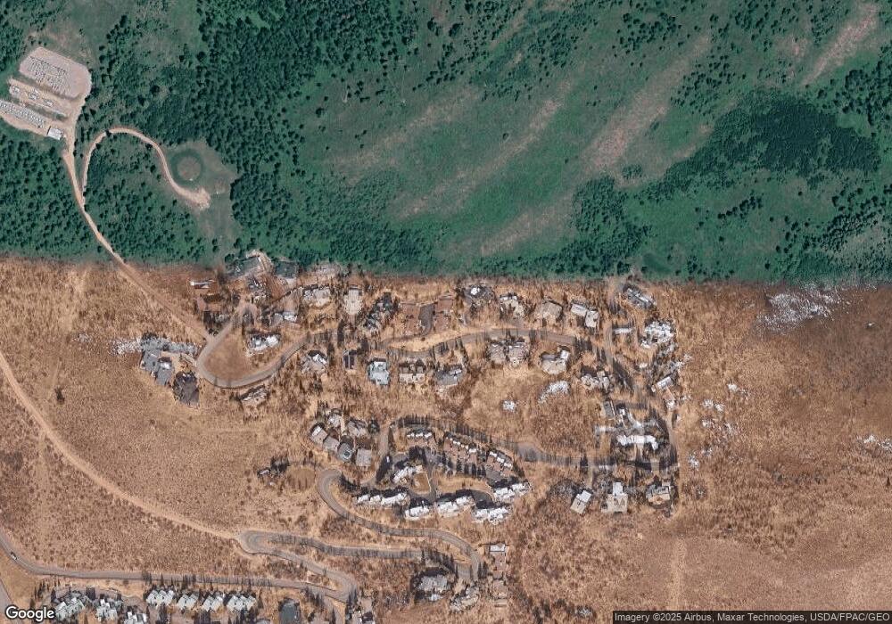
Map
Nearby Homes
- 780 Potato Patch Dr
- 775 Potato Patch Dr Unit E
- 770 Potato Patch Dr Unit 14
- 605 N Frontage Rd W Unit 14A
- 625 N Frontage Rd W Unit 22
- 508 E Lionshead Cir Unit 604-49
- 508 E Lionshead Cir Unit 310/week 8
- 508 E Lionshead Cir Unit 214
- 508 E Lionshead Cir Unit 310/Week 23
- 508 E Lionshead Cir Unit 105
- 508 E Lionshead Cir Unit 503
- 508 E Lionshead Cir Unit 604/Week 9
- 508 E Lionshead Cir Unit 211/Weeks 15/16/17
- 508 E Lionshead Cir Unit 312/Weeks 8/9/10
- 508 E Lionshead Cir Unit 116-07
- 508 E Lionshead Cir Unit 211/weeks 8 & 9
- 508 E Lionshead Cir Unit 312/Weeks 38 & 39
- 548 S Frontage Rd E Unit 301
- 548 S Frontage Rd W Unit 201
- 610 W Lionshead Cir Unit 704
- 792 Potato Patch Dr Unit B
- 792 Potato Patch Dr
- 794 Potato Patch Dr Unit B
- 794 Potato Patch Dr Unit A
- 794 Potato Patch Dr
- 790 Potato Patch Dr Unit C
- 790 Potato Patch Dr Unit B
- 790 Potato Patch Dr Unit A
- 790 Potato Patch Dr
- 791 Potato Patch Dr
- 796 Potato Patch Dr Unit B
- 796 Potato Patch Dr Unit A
- 796 Potato Patch Dr
- 789 Potato Patch Dr
- 788 Potato Patch Dr Unit A
- 788 Potato Patch Dr Unit B
- 788 Potato Patch B Dr
- 793 Potato Patch Dr Unit B
- 793 Potato Patch Dr Unit A
- 793 Potato Patch Dr
Your Personal Tour Guide
Ask me questions while you tour the home.