Estimated Value: $518,449 - $626,000
3
Beds
2
Baths
1,776
Sq Ft
$321/Sq Ft
Est. Value
About This Home
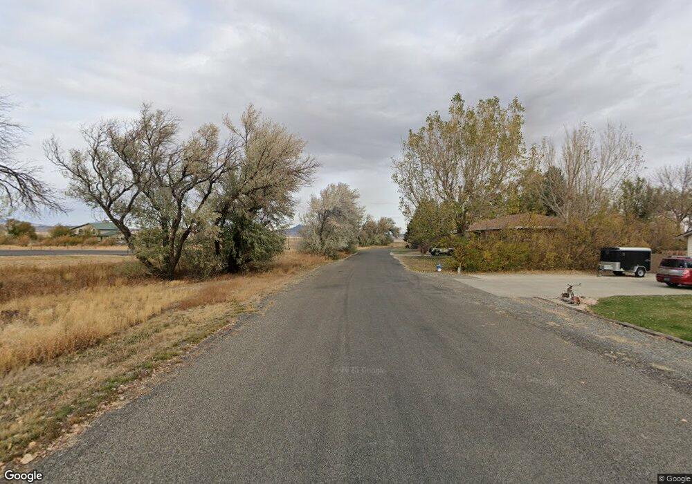
This home is located at 792 S Fork Rd, Cody, WY 82414 and is currently estimated at $569,362, approximately $320 per square foot. 792 S Fork Rd is a home located in Park County with nearby schools including Cody Middle School and Cody High School.
Ownership History
Date
Name
Owned For
Owner Type
Purchase Details
Closed on
Dec 1, 2025
Sold by
Mcknight Robert Michael and Mcknight Leah Ann
Bought by
Cutsforth Kyle James and Cutsforth Kimberly Kay
Current Estimated Value
Home Financials for this Owner
Home Financials are based on the most recent Mortgage that was taken out on this home.
Original Mortgage
$380,000
Outstanding Balance
$380,000
Interest Rate
6.27%
Mortgage Type
New Conventional
Estimated Equity
$189,362
Purchase Details
Closed on
Oct 25, 2012
Sold by
Fannie Mae
Bought by
Mcknight Robert Michael and Mcknight Leah
Home Financials for this Owner
Home Financials are based on the most recent Mortgage that was taken out on this home.
Original Mortgage
$191,836
Interest Rate
3.59%
Mortgage Type
New Conventional
Purchase Details
Closed on
Aug 31, 2011
Sold by
Bowman Bruce N and Bowman Jo Ellen
Bought by
Not Provided
Create a Home Valuation Report for This Property
The Home Valuation Report is an in-depth analysis detailing your home's value as well as a comparison with similar homes in the area
Purchase History
| Date | Buyer | Sale Price | Title Company |
|---|---|---|---|
| Cutsforth Kyle James | -- | None Listed On Document | |
| Mcknight Robert Michael | -- | None Available | |
| Not Provided | -- | None Available |
Source: Public Records
Mortgage History
| Date | Status | Borrower | Loan Amount |
|---|---|---|---|
| Open | Cutsforth Kyle James | $380,000 | |
| Previous Owner | Mcknight Robert Michael | $191,836 |
Source: Public Records
Tax History
| Year | Tax Paid | Tax Assessment Tax Assessment Total Assessment is a certain percentage of the fair market value that is determined by local assessors to be the total taxable value of land and additions on the property. | Land | Improvement |
|---|---|---|---|---|
| 2025 | $2,589 | $37,251 | $6,780 | $30,471 |
| 2024 | $3,353 | $48,246 | $9,040 | $39,206 |
| 2023 | $3,290 | $47,334 | $8,755 | $38,579 |
| 2022 | $2,950 | $42,074 | $8,269 | $33,805 |
| 2021 | $2,259 | $32,274 | $7,182 | $25,092 |
| 2020 | $2,087 | $29,808 | $6,152 | $23,656 |
| 2019 | $1,977 | $28,247 | $6,152 | $22,095 |
| 2018 | $1,872 | $26,742 | $5,839 | $20,903 |
| 2017 | $1,728 | $24,690 | $5,269 | $19,421 |
| 2016 | $1,659 | $23,696 | $5,264 | $18,432 |
| 2015 | $1,618 | $22,787 | $5,264 | $17,523 |
| 2014 | $1,534 | $22,244 | $5,662 | $16,582 |
Source: Public Records
Map
Nearby Homes
- 5 Panorama Ln
- 745 Southfork Rd
- 25 Rangeview Dr
- TBD Callen Dr Unit 4
- TBD Callen Dr
- 4 Heather Rd
- TBD Bartlett Ln
- 230 Carter View Dr Unit 1
- 200 Carter View Dr Unit 3
- 407 Diamond Basin Rd
- 131 Copperleaf Dr
- 272 Road 6rt
- 12 Big Creek Dr Unit 28
- 74 Big Creek Dr
- 31 Diamond Basin Rd
- TBD Diamond Basin Rd Unit 3
- 30 Carter Mountain Rd
- 366 6qs Rd
- 293 Southfork Rd
- 139 S Chugwater Dr
Your Personal Tour Guide
Ask me questions while you tour the home.