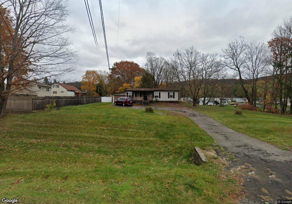
792 State Route 369 Unit NYS Port Crane, NY 13833
Estimated Value: $112,000 - $146,000
2
Beds
2
Baths
1,120
Sq Ft
$116/Sq Ft
Est. Value
About This Home
This home is located at 792 State Route 369 Unit NYS, Port Crane, NY 13833 and is currently estimated at $129,837, approximately $115 per square foot. 792 State Route 369 Unit NYS is a home located in Broome County with nearby schools including Chenango Forks Elementary School, Chenango Forks Middle School, and Chenango Forks High School.
Ownership History
Date
Name
Owned For
Owner Type
Purchase Details
Closed on
Jun 20, 2003
Sold by
Brigham Luella G
Bought by
Davidson Alan C
Current Estimated Value
Create a Home Valuation Report for This Property
The Home Valuation Report is an in-depth analysis detailing your home's value as well as a comparison with similar homes in the area
Home Values in the Area
Average Home Value in this Area
Purchase History
| Date | Buyer | Sale Price | Title Company |
|---|---|---|---|
| Davidson Alan C | -- | Steven R Reid |
Source: Public Records
Tax History Compared to Growth
Tax History
| Year | Tax Paid | Tax Assessment Tax Assessment Total Assessment is a certain percentage of the fair market value that is determined by local assessors to be the total taxable value of land and additions on the property. | Land | Improvement |
|---|---|---|---|---|
| 2024 | $2,977 | $53,900 | $15,500 | $38,400 |
| 2023 | $2,830 | $53,900 | $15,500 | $38,400 |
| 2022 | $2,828 | $53,900 | $15,500 | $38,400 |
| 2021 | $2,839 | $53,900 | $15,500 | $38,400 |
| 2020 | $2,761 | $53,900 | $15,500 | $38,400 |
| 2019 | -- | $53,900 | $15,500 | $38,400 |
| 2018 | $2,828 | $53,900 | $15,500 | $38,400 |
| 2017 | $2,802 | $53,900 | $15,500 | $38,400 |
| 2016 | $2,732 | $53,900 | $15,500 | $38,400 |
| 2015 | -- | $53,900 | $15,500 | $38,400 |
| 2014 | -- | $53,900 | $15,500 | $38,400 |
Source: Public Records
Map
Nearby Homes
- 101 Palmer Hill Rd
- 34 Pleasant Valley Rd
- 404 Ballyhack Rd
- 68 Marshman Rd
- 330 Palmer Hill Rd
- 120 Steed Rd
- 4 Beartown Rd
- 20 Teeburn Blvd
- 1 Asbury Ave
- 1979 State Route 12
- 87 Pamela Dr
- 19 Chris Ct
- 13 Parsons Rd
- 159 Beartown Rd
- 15 River Ln
- 13 Warner Rd
- 358 Pleasant Hill Rd
- 6 Port St
- 6633 State Route 79
- 12 Airport Rd
- 4 Ganoungtown Rd
- 6 Ganoungtown Rd
- 791 State Route 369 Unit NYS
- 795 State Route 369 Unit NYS
- 14 Ganoungtown Rd
- 781 State Route 369 Unit NYS
- 803 State Route 369 Unit NYS
- 799 State Route 369 Unit NYS
- 799 State Route 369
- 18 Ganoungtown Rd
- 10 Gould Rd
- 24 Ganoungtown Rd
- 16 Gould Rd
- 807 State Route 369 Unit NYS
- 23 Ganoungtown Rd
- 768 State Route 369 Unit NYS
- 28 Ganoungtown Rd
- 17 Weber Rd
- 819 State Route 369 Unit NYS
- 24 Gould Rd