792 Sterling Rd Sterling, CT 06377
Estimated Value: $379,303 - $485,000
3
Beds
2
Baths
1,989
Sq Ft
$219/Sq Ft
Est. Value
About This Home
This home is located at 792 Sterling Rd, Sterling, CT 06377 and is currently estimated at $435,076, approximately $218 per square foot. 792 Sterling Rd is a home located in Windham County with nearby schools including Sterling Community School.
Ownership History
Date
Name
Owned For
Owner Type
Purchase Details
Closed on
Aug 18, 2006
Sold by
Fuller Derek N and Fuller Brandy L
Bought by
Veader Lewis and Veader Sarah J
Current Estimated Value
Purchase Details
Closed on
May 26, 2005
Sold by
Cameron Nelson and Cameron Barbara
Bought by
Fuller Derek and Fuller Brandy
Purchase Details
Closed on
Jul 26, 1999
Sold by
Wolchesky Alexander E and Wolchesky Heather E
Bought by
Cameron Nelson L and Cameron Barbara J
Purchase Details
Closed on
Feb 9, 1995
Sold by
Navan James E and Navan Blanche
Bought by
Wolchesky Alexander E and Boutin Heather
Create a Home Valuation Report for This Property
The Home Valuation Report is an in-depth analysis detailing your home's value as well as a comparison with similar homes in the area
Home Values in the Area
Average Home Value in this Area
Purchase History
| Date | Buyer | Sale Price | Title Company |
|---|---|---|---|
| Veader Lewis | $280,000 | -- | |
| Veader Lewis | $280,000 | -- | |
| Fuller Derek | $264,200 | -- | |
| Fuller Derek | $264,200 | -- | |
| Cameron Nelson L | $134,000 | -- | |
| Cameron Nelson L | $134,000 | -- | |
| Wolchesky Alexander E | $120,000 | -- | |
| Wolchesky Alexander E | $120,000 | -- |
Source: Public Records
Mortgage History
| Date | Status | Borrower | Loan Amount |
|---|---|---|---|
| Open | Wolchesky Alexander E | $248,651 |
Source: Public Records
Tax History Compared to Growth
Tax History
| Year | Tax Paid | Tax Assessment Tax Assessment Total Assessment is a certain percentage of the fair market value that is determined by local assessors to be the total taxable value of land and additions on the property. | Land | Improvement |
|---|---|---|---|---|
| 2025 | $4,673 | $212,400 | $43,100 | $169,300 |
| 2024 | $5,023 | $212,400 | $43,100 | $169,300 |
| 2023 | $4,720 | $212,400 | $43,100 | $169,300 |
| 2022 | $4,481 | $140,280 | $22,490 | $117,790 |
| 2021 | $4,481 | $140,280 | $22,490 | $117,790 |
| 2020 | $4,481 | $140,280 | $22,490 | $117,790 |
| 2019 | $4,481 | $140,280 | $22,490 | $117,790 |
| 2018 | $4,461 | $140,280 | $22,490 | $117,790 |
| 2017 | $3,993 | $125,580 | $29,140 | $96,440 |
| 2016 | $3,968 | $125,580 | $29,140 | $96,440 |
| 2015 | $3,968 | $125,580 | $29,140 | $96,440 |
| 2014 | $3,956 | $125,580 | $29,140 | $96,440 |
Source: Public Records
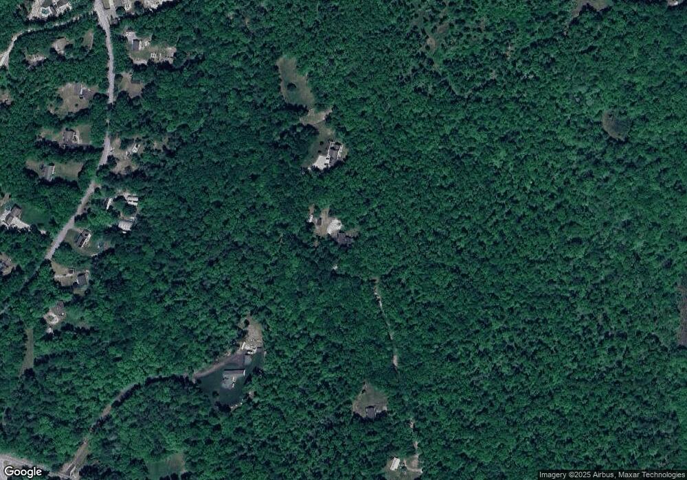
Map
Nearby Homes
- 581 Sterling Rd
- 38 Deerfield Dr
- 1 Johns Cir
- 5 John's Cir Unit Lot 35
- 1 John's Cir Unit Lot 37
- 8 John's Cir Unit Lot 33
- 4 Johns Cir Unit Lot 31
- 7 Johns Cir Unit Lot 34
- 126 Pine Hill Rd
- 35 River Rd
- 197 Church St
- 18 Ledge Hill Rd
- 24 River Rd
- 367 Pine Hill Rd
- 532 Lewis Farm Rd
- 58 New Rd
- 0 Rice City Rd
- 6356 Flat River Rd
- 176 Hopkins Hollow Rd
- 93 Moosup Valley Rd
- 794 Sterling Rd
- 58 Old Cranston Rd
- 50 Old Cranston Rd
- 70 Old Cranston Rd
- 42 Old Cranston Rd
- 78 Old Cranston Rd
- 34 Old Cranston Rd
- 790A Sterling Rd
- 61 Old Cranston Rd
- 30 Old Cranston Rd
- 53 Old Cranston Rd
- 73 Old Cranston Rd
- 770 Sterling Rd
- 740 Sterling Rd
- 84 Old Cranston Rd
- 41 Old Cranston Rd
- 77 Old Cranston Rd
- 790B Sterling Rd
- 90 Old Cranston Rd
- 31 Old Cranston Rd