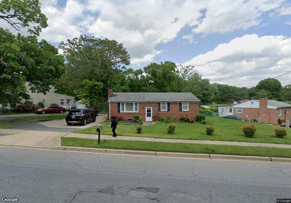
7920 Bock Rd Fort Washington, MD 20744
Estimated Value: $329,000 - $398,000
3
Beds
2
Baths
1,100
Sq Ft
$336/Sq Ft
Est. Value
About This Home
This home is located at 7920 Bock Rd, Fort Washington, MD 20744 and is currently estimated at $369,226, approximately $335 per square foot. 7920 Bock Rd is a home located in Prince George's County with nearby schools including Apple Grove Elementary School, Friendly High School, and National Christian Academy.
Ownership History
Date
Name
Owned For
Owner Type
Purchase Details
Closed on
Jan 7, 2010
Sold by
Dade Robert E
Bought by
Maxwell Dorothy M
Current Estimated Value
Home Financials for this Owner
Home Financials are based on the most recent Mortgage that was taken out on this home.
Original Mortgage
$186,558
Interest Rate
4.85%
Mortgage Type
FHA
Purchase Details
Closed on
May 31, 1977
Sold by
Enten Stanley J
Bought by
Dade Robert E
Create a Home Valuation Report for This Property
The Home Valuation Report is an in-depth analysis detailing your home's value as well as a comparison with similar homes in the area
Home Values in the Area
Average Home Value in this Area
Purchase History
| Date | Buyer | Sale Price | Title Company |
|---|---|---|---|
| Maxwell Dorothy M | $190,000 | -- | |
| Dade Robert E | $48,000 | -- |
Source: Public Records
Mortgage History
| Date | Status | Borrower | Loan Amount |
|---|---|---|---|
| Previous Owner | Maxwell Dorothy M | $186,558 |
Source: Public Records
Tax History Compared to Growth
Tax History
| Year | Tax Paid | Tax Assessment Tax Assessment Total Assessment is a certain percentage of the fair market value that is determined by local assessors to be the total taxable value of land and additions on the property. | Land | Improvement |
|---|---|---|---|---|
| 2025 | $4,078 | $295,800 | -- | -- |
| 2024 | $4,078 | $255,900 | $76,200 | $179,700 |
| 2023 | $4,577 | $255,100 | $0 | $0 |
| 2022 | $2,828 | $254,300 | $0 | $0 |
| 2021 | $9,118 | $253,500 | $75,600 | $177,900 |
| 2020 | $8,745 | $241,367 | $0 | $0 |
| 2019 | $3,283 | $229,233 | $0 | $0 |
| 2018 | $3,905 | $217,100 | $75,600 | $141,500 |
| 2017 | $3,584 | $202,700 | $0 | $0 |
| 2016 | -- | $188,300 | $0 | $0 |
| 2015 | $3,736 | $173,900 | $0 | $0 |
| 2014 | $3,736 | $173,900 | $0 | $0 |
Source: Public Records
Map
Nearby Homes
- 8016 Bock Rd
- 7808 Den Meade Ave
- 8117 Bock Rd
- 7504 Grange Hall Dr
- 3002 Ivy Bridge Rd
- 7512 Harpers Dr
- 7515 Lenham Dr
- 7407 Bellefield Ave
- 7513 Lenham Dr
- 7307 Epping Ave
- 0 Bock Rd
- 2910 Lumar Dr
- 1701 Ferguson Ln
- 7718 Klovstad Dr
- 7219 Crafford Place
- 2816 Lindesfarn Terrace
- 10125 Allentown Rd
- 8515 Allentown Rd
- 3110 Gallop Way
- 3316 Marston Dr