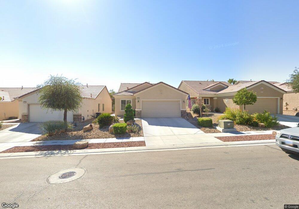
7920 Broadwing Dr Unit 6 North Las Vegas, NV 89084
Aliante NeighborhoodEstimated Value: $381,645 - $393,000
3
Beds
2
Baths
1,420
Sq Ft
$273/Sq Ft
Est. Value
About This Home
This home is located at 7920 Broadwing Dr Unit 6, North Las Vegas, NV 89084 and is currently estimated at $387,411, approximately $272 per square foot. 7920 Broadwing Dr Unit 6 is a home located in Clark County with nearby schools including Vincent L. Triggs Elementary School, Anthony Saville Middle School, and Shadow Ridge High School.
Ownership History
Date
Name
Owned For
Owner Type
Purchase Details
Closed on
Feb 16, 2021
Sold by
Schmidt Alan and Schmidt Ruth A
Bought by
Schmidt Alan and Schmidt Ruth A
Current Estimated Value
Purchase Details
Closed on
Mar 30, 2011
Sold by
Lvtxgl Llc
Bought by
Schmidt Alan and Schmidt Ruth A
Purchase Details
Closed on
Jan 7, 2011
Sold by
Fannie Mae
Bought by
Lvtxgl Llc
Purchase Details
Closed on
Jun 14, 2010
Sold by
Coats Roger M and Coats Sandra L
Bought by
Fannie Mae and Federal National Mortgage Association
Purchase Details
Closed on
May 17, 2005
Sold by
Pn Ii Inc
Bought by
Coats Roger M and Coats Sandra L
Home Financials for this Owner
Home Financials are based on the most recent Mortgage that was taken out on this home.
Original Mortgage
$202,676
Interest Rate
5.87%
Mortgage Type
Fannie Mae Freddie Mac
Create a Home Valuation Report for This Property
The Home Valuation Report is an in-depth analysis detailing your home's value as well as a comparison with similar homes in the area
Home Values in the Area
Average Home Value in this Area
Purchase History
| Date | Buyer | Sale Price | Title Company |
|---|---|---|---|
| Schmidt Alan | -- | None Available | |
| Schmidt Alan | $124,900 | National Title Company | |
| Lvtxgl Llc | $79,800 | Old Republic Title Company | |
| Fannie Mae | $211,419 | None Available | |
| Coats Roger M | $260,176 | Lawyers Title Of Nevada |
Source: Public Records
Mortgage History
| Date | Status | Borrower | Loan Amount |
|---|---|---|---|
| Previous Owner | Coats Roger M | $202,676 |
Source: Public Records
Tax History Compared to Growth
Tax History
| Year | Tax Paid | Tax Assessment Tax Assessment Total Assessment is a certain percentage of the fair market value that is determined by local assessors to be the total taxable value of land and additions on the property. | Land | Improvement |
|---|---|---|---|---|
| 2025 | $2,194 | $92,517 | $26,600 | $65,917 |
| 2024 | $2,032 | $92,517 | $26,600 | $65,917 |
| 2023 | $2,032 | $90,854 | $28,595 | $62,259 |
| 2022 | $1,882 | $81,265 | $24,605 | $56,660 |
| 2021 | $1,743 | $75,813 | $21,945 | $53,868 |
| 2020 | $1,612 | $74,473 | $21,280 | $53,193 |
| 2019 | $1,565 | $71,649 | $19,285 | $52,364 |
| 2018 | $1,519 | $65,587 | $15,295 | $50,292 |
| 2017 | $2,081 | $61,188 | $11,200 | $49,988 |
| 2016 | $1,440 | $59,816 | $9,800 | $50,016 |
| 2015 | $1,436 | $48,254 | $7,840 | $40,414 |
| 2014 | $1,391 | $40,703 | $5,600 | $35,103 |
Source: Public Records
Map
Nearby Homes
- 7905 Grey Teal St
- 2822 Horned Owl Way
- 7921 Fantail Dr
- 7804 Island Rail Dr
- 7948 Fantail Dr Unit 3
- 7908 House Sparrow St
- 3220 Flinthead Dr
- 3124 Kookaburra Way
- 3312 Lapwing Dr
- 2525 Willow Wren Dr
- 3405 Kingbird Dr
- 7757 Coast Jay St
- 7927 Crested Starling Ct
- 7617 Fieldfare Dr
- 7910 Kiskadee St
- 7751 Widewing Dr
- 7773 Wading Bird Way
- 7817 Starthroat Ct Unit 8
- 2320 Willow Wren Dr
- 2508 Mourning Warbler Ave
- 7916 Broadwing Dr
- 7924 Broadwing Dr
- 7928 Broadwing Dr
- 7912 Broadwing Dr
- 2922 Horned Owl Way
- 2928 Horned Owl Way
- 7908 Broadwing Dr
- 7908 Broadwing Dr Unit n/a
- 7932 Broadwing Dr
- 2916 Horned Owl Way
- 7904 Broadwing Dr
- 7936 Broadwing Dr
- 2910 Horned Owl Way
- 7931 Broadwing Dr
- 7821 Island Rail Dr
- 7909 Grey Teal St Unit 7A
- 7940 Broadwing Dr
- 7935 Broadwing Dr
- 2904 Horned Owl Way
- 7913 Grey Teal St