7920 Highway 2 Epworth, GA 30541
Estimated Value: $366,000 - $599,000
3
Beds
3
Baths
1,862
Sq Ft
$254/Sq Ft
Est. Value
About This Home
This home is located at 7920 Highway 2, Epworth, GA 30541 and is currently estimated at $473,024, approximately $254 per square foot. 7920 Highway 2 is a home located in Fannin County with nearby schools including Fannin County High School.
Ownership History
Date
Name
Owned For
Owner Type
Purchase Details
Closed on
Mar 28, 2023
Sold by
Cantrell Billy
Bought by
D & H Land Development Llc
Current Estimated Value
Purchase Details
Closed on
Dec 28, 2020
Sold by
Cantrell Joseph Daniel
Bought by
Cantrell Joseph Daniel and Baugh Celeste
Purchase Details
Closed on
Sep 23, 2014
Sold by
Cantrell Billy
Bought by
Cantrell Joseph Daniel
Purchase Details
Closed on
Aug 28, 1990
Bought by
Cantrell Billy and Cantrell Mae
Create a Home Valuation Report for This Property
The Home Valuation Report is an in-depth analysis detailing your home's value as well as a comparison with similar homes in the area
Home Values in the Area
Average Home Value in this Area
Purchase History
| Date | Buyer | Sale Price | Title Company |
|---|---|---|---|
| D & H Land Development Llc | -- | -- | |
| Cantrell Joseph Daniel | -- | -- | |
| Cantrell Joseph Daniel | -- | -- | |
| Cantrell Billy | -- | -- |
Source: Public Records
Tax History
| Year | Tax Paid | Tax Assessment Tax Assessment Total Assessment is a certain percentage of the fair market value that is determined by local assessors to be the total taxable value of land and additions on the property. | Land | Improvement |
|---|---|---|---|---|
| 2025 | $188 | $134,253 | $25,433 | $108,820 |
| 2024 | $2 | $134,252 | $25,433 | $108,819 |
| 2023 | $60 | $113,104 | $25,433 | $87,671 |
| 2022 | $211 | $114,433 | $25,433 | $89,000 |
| 2021 | $893 | $63,697 | $14,673 | $49,024 |
| 2020 | $296 | $63,697 | $14,673 | $49,024 |
| 2019 | $302 | $63,697 | $14,673 | $49,024 |
| 2018 | $320 | $63,034 | $14,673 | $48,361 |
| 2017 | $1,124 | $63,501 | $14,673 | $48,828 |
| 2016 | $319 | $46,598 | $14,673 | $31,925 |
| 2015 | $332 | $47,040 | $14,673 | $32,366 |
| 2014 | $332 | $69,168 | $22,076 | $47,092 |
| 2013 | -- | $52,773 | $22,076 | $30,697 |
Source: Public Records
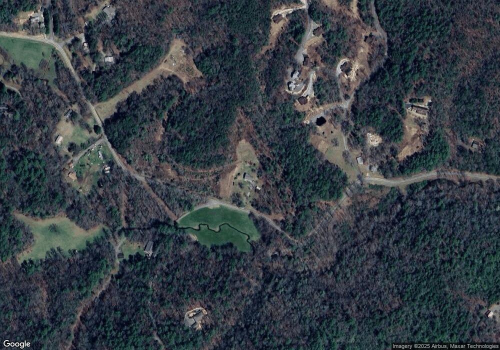
Map
Nearby Homes
- 85 Foster Cove Rd
- 100 Cohutta View Rd
- 155 Peppermint Ln
- 580 Emmaus Rd
- 550 Watson Rd
- 370 High Ridge Rd
- 0 Menagerie Ridge
- 5 High Ridge Rd
- 463 Big Sky Trail
- 28 AC Jolley Way
- 28.65 AC Jolley Way
- 789 Jolley Way
- 739 Big Sky Trail
- 1056 Jolley Way
- 300 Cloudland Trace
- 126 Walter Mountain Dr
- 225 Cohutta Ranch Rd
- 120 Cohutta Ranch Rd
- 400 Cloudland Trace
- 00 Buck Creek Tr
- 7841 Highway 2
- 89 Foster Cove Rd Unit 2
- 89 Foster Cove Rd
- 85 Foster Cove Rd
- 66 Old State Rd 2
- 66 Old State 2 Dr
- 83 Foster Cove Rd
- 435 Foster Cove Rd
- 435 Foster Cove Rd
- 227 Old State 2 Dr
- 0 Lt 27 Stirrup Cove Unit 319396
- 401 Foster Cove Rd Unit ID1093466P
- 372 Foster Cove Rd
- 401 Foster Cove Rd
- 207 Foster Cove Rd
- 67 Sky Dancer Ridge
- LT 1A Majestic View
- 8111 Highway 2
- LT 1B Majestic View
- 0 Lt 1b Majestic View Unit LOT 1B 314075
Your Personal Tour Guide
Ask me questions while you tour the home.