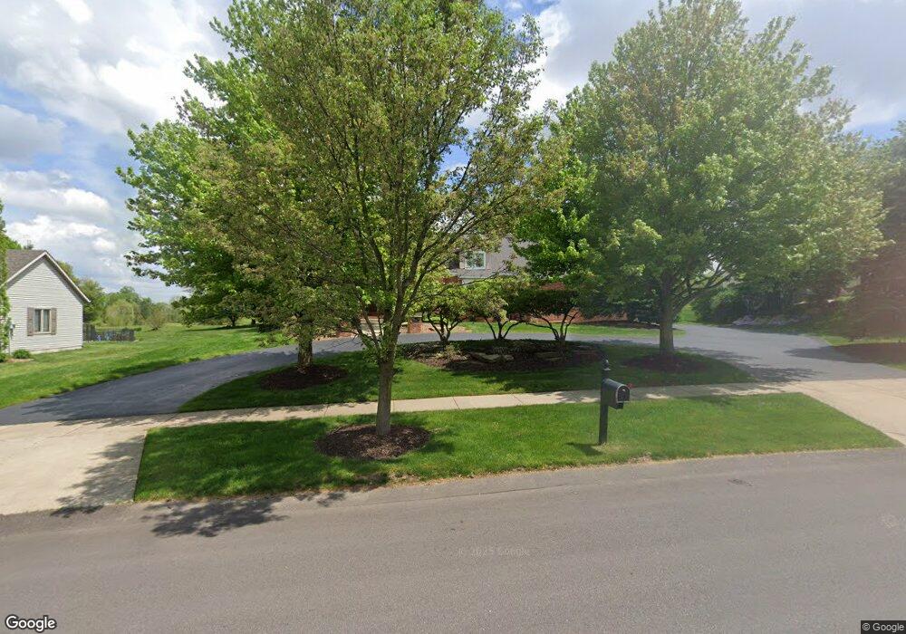
7920 Lionel Dr SW Byron Center, MI 49315
Estimated Value: $789,000 - $1,176,000
--
Bed
1
Bath
3,766
Sq Ft
$247/Sq Ft
Est. Value
About This Home
This home is located at 7920 Lionel Dr SW, Byron Center, MI 49315 and is currently estimated at $928,415, approximately $246 per square foot. 7920 Lionel Dr SW is a home located in Kent County with nearby schools including Brown Elementary School, Robert L. Nickels Intermediate School, and Byron Center West Middle School.
Ownership History
Date
Name
Owned For
Owner Type
Purchase Details
Closed on
Jun 18, 2018
Sold by
Albrecht John E and Albrecht Jane A
Bought by
Albrecht John E and Albrecht Family Trust
Current Estimated Value
Purchase Details
Closed on
Dec 6, 2002
Sold by
The Jane A Albrecht Trust
Bought by
Albrecht John E and Albrecht Jane A
Home Financials for this Owner
Home Financials are based on the most recent Mortgage that was taken out on this home.
Original Mortgage
$600,000
Interest Rate
4.37%
Create a Home Valuation Report for This Property
The Home Valuation Report is an in-depth analysis detailing your home's value as well as a comparison with similar homes in the area
Home Values in the Area
Average Home Value in this Area
Purchase History
| Date | Buyer | Sale Price | Title Company |
|---|---|---|---|
| Albrecht John E | -- | None Available | |
| Albrecht John E | -- | -- |
Source: Public Records
Mortgage History
| Date | Status | Borrower | Loan Amount |
|---|---|---|---|
| Closed | Albrecht John E | $600,000 |
Source: Public Records
Tax History Compared to Growth
Tax History
| Year | Tax Paid | Tax Assessment Tax Assessment Total Assessment is a certain percentage of the fair market value that is determined by local assessors to be the total taxable value of land and additions on the property. | Land | Improvement |
|---|---|---|---|---|
| 2025 | $6,120 | $408,100 | $0 | $0 |
| 2024 | $6,120 | $386,600 | $0 | $0 |
| 2023 | $5,852 | $341,300 | $0 | $0 |
| 2022 | $8,157 | $331,200 | $0 | $0 |
| 2021 | $7,938 | $315,500 | $0 | $0 |
| 2020 | $5,387 | $294,200 | $0 | $0 |
| 2019 | $7,747 | $286,700 | $0 | $0 |
| 2018 | $7,587 | $282,000 | $47,300 | $234,700 |
| 2017 | $7,389 | $268,500 | $0 | $0 |
| 2016 | $7,117 | $254,100 | $0 | $0 |
| 2015 | $6,995 | $254,100 | $0 | $0 |
| 2013 | -- | $224,800 | $0 | $0 |
Source: Public Records
Map
Nearby Homes
- 8030 Lionel Dr
- 3183 Railway Dr SW
- 7998 Byron Depot Dr SW
- 8090 Country Rail Ct SW
- 8138 Boardwalk Dr SW
- 8115 Byron Depot Dr SW
- 8393 Woodhaven Dr SW Unit 1
- 2740 Woodhaven Ct SW Unit 2
- 3563 Conrail Dr
- 8330 Rockledge Way SW Unit 92
- Redwood Plan at Railside - Woodland Series
- Sycamore Plan at Railside - Woodland Series
- Bay Harbor Plan at Railside - Landmark Series
- Northport Plan at Railside - Landmark Series
- Pentwater Plan at Railside - Landmark Series
- Oakwood Plan at Railside - Woodland Series
- 8047 Erie Dr
- 3152 84th St SW
- 670 84th St SW
- 8549 Eldora Dr SW
- 7934 Lionel Dr SW
- 7912 Lionel Dr SW
- 7950 Lionel Dr SW
- 7917 Lionel Dr SW
- 7904 Lionel Dr SW
- 7933 Lionel Dr SW
- 7905 Lionel Dr SW
- 7890 Lionel Dr SW
- 7962 Lionel Dr SW
- 3069 Railway Dr SW
- 3058 Railway Dr SW
- 7891 Lionel Dr SW
- 7974 Lionel Dr SW
- 3072 Railway Dr SW
- 7967 Lionel Dr SW
- 3077 Railway Dr SW
- 7986 Lionel Dr SW
- 7877 Lionel Dr SW
- 3084 Railway Dr SW
- 7796 Railyard Dr SW