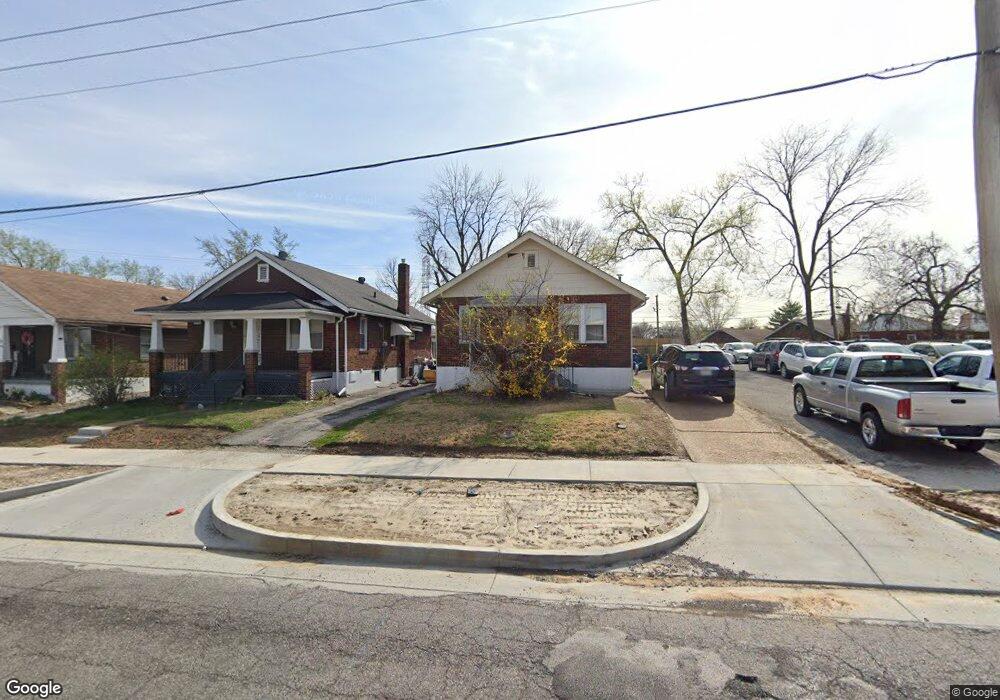
7920 Page Ave Saint Louis, MO 63133
Estimated Value: $68,000 - $113,000
2
Beds
1
Bath
828
Sq Ft
$103/Sq Ft
Est. Value
About This Home
This home is located at 7920 Page Ave, Saint Louis, MO 63133 and is currently estimated at $84,910, approximately $102 per square foot. 7920 Page Ave is a home located in St. Louis County with nearby schools including Normandy High School, The Leadership School, and The Freedom School.
Ownership History
Date
Name
Owned For
Owner Type
Purchase Details
Closed on
Sep 4, 2012
Sold by
Gale Creations Inc
Bought by
Mitchell Glen and Mitchell Eileen
Current Estimated Value
Purchase Details
Closed on
May 3, 2012
Sold by
Federal Home Loan Mortgage Corporation
Bought by
Gale Creations Inc
Purchase Details
Closed on
Jan 31, 2012
Sold by
Davis Audrey L and Davis Donald E
Bought by
Federal Home Loan Mortgage Corporation
Purchase Details
Closed on
Jun 20, 2011
Sold by
Mitchell Glen and Mitchell Eileen
Bought by
Gale Creation Inc
Purchase Details
Closed on
Nov 13, 2009
Sold by
Davis Donald E and Davis Audrey L
Bought by
Davis Donald E and Davis Audrey L
Create a Home Valuation Report for This Property
The Home Valuation Report is an in-depth analysis detailing your home's value as well as a comparison with similar homes in the area
Home Values in the Area
Average Home Value in this Area
Purchase History
| Date | Buyer | Sale Price | Title Company |
|---|---|---|---|
| Mitchell Glen | -- | None Available | |
| Gale Creations Inc | $15,000 | Ctc | |
| Federal Home Loan Mortgage Corporation | $16,500 | None Available | |
| Gale Creation Inc | -- | None Available | |
| Davis Donald E | -- | None Available |
Source: Public Records
Tax History Compared to Growth
Tax History
| Year | Tax Paid | Tax Assessment Tax Assessment Total Assessment is a certain percentage of the fair market value that is determined by local assessors to be the total taxable value of land and additions on the property. | Land | Improvement |
|---|---|---|---|---|
| 2025 | $928 | $13,740 | $1,940 | $11,800 |
| 2024 | $928 | $9,690 | $320 | $9,370 |
| 2023 | $970 | $9,690 | $320 | $9,370 |
| 2022 | $763 | $6,390 | $970 | $5,420 |
| 2021 | $733 | $6,390 | $970 | $5,420 |
| 2020 | $729 | $5,860 | $650 | $5,210 |
| 2019 | $713 | $5,860 | $650 | $5,210 |
| 2018 | $718 | $5,510 | $650 | $4,860 |
| 2017 | $725 | $5,510 | $650 | $4,860 |
| 2016 | $723 | $5,510 | $1,290 | $4,220 |
| 2015 | $701 | $5,510 | $1,290 | $4,220 |
| 2014 | $748 | $5,890 | $1,160 | $4,730 |
Source: Public Records
Map
Nearby Homes
- 7372 Liberty Ave
- 7441 Trenton Ave
- 1545 Moore Place
- 7507 Liberty Ave
- 7335 Trenton Ave
- 7336 Milan Ave
- 8109 Washington St
- 8008 Monroe Ave
- 7339 Wayne Ave
- 7624 Fairham Ave
- 8227 Page Ave
- 1617 Purdue Ave
- 1604 Quendo Ave
- 8138 Underhill Dr
- 1944 Falcon Dr
- 1609 Bradford Ave
- 7346 Canton Ave
- 1520 Purdue Ave
- 1459 Lyndale Ave
- 1988 Driftway Dr
- 7922 Page Ave
- 7918 Page Ave
- 7916 Page Ave
- 7924 Page Ave
- 7387 Liberty Ave
- 7914 Page Ave
- 7952 Page Ave
- 7385 Liberty Ave
- 7956 Page Ave
- 7912 Page Ave
- 1610 N Hanley Rd
- 1608 N Hanley Rd
- 7383 Liberty Ave
- 1604 N Hanley Rd
- 7910 Page Ave
- 7381 Liberty Ave
- 1600 N Hanley Rd
- 7379 Liberty Ave
- 7908 Page Ave
- 7375 Liberty Ave