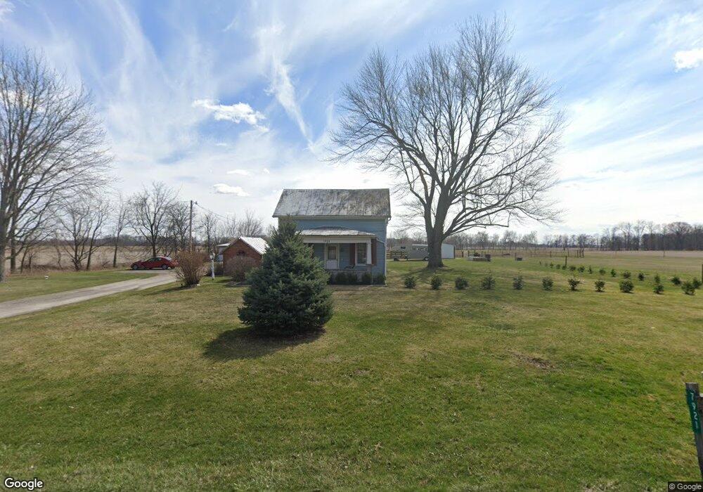
7921 W Us Route 224 Findlay, OH 45840
Estimated Value: $225,286 - $364,000
3
Beds
1
Bath
1,287
Sq Ft
$212/Sq Ft
Est. Value
About This Home
This home is located at 7921 W Us Route 224, Findlay, OH 45840 and is currently estimated at $272,822, approximately $211 per square foot. 7921 W Us Route 224 is a home located in Hancock County with nearby schools including Liberty-Benton Elementary School, Liberty-Benton Middle School, and Liberty-Benton High School.
Ownership History
Date
Name
Owned For
Owner Type
Purchase Details
Closed on
Oct 22, 1999
Sold by
Fish Jeffrey
Bought by
Smith Matthew and Smith Kimberlee
Current Estimated Value
Home Financials for this Owner
Home Financials are based on the most recent Mortgage that was taken out on this home.
Original Mortgage
$97,800
Outstanding Balance
$29,710
Interest Rate
7.91%
Mortgage Type
New Conventional
Estimated Equity
$243,112
Purchase Details
Closed on
Jan 31, 1990
Bought by
Fish Jeffrey A
Create a Home Valuation Report for This Property
The Home Valuation Report is an in-depth analysis detailing your home's value as well as a comparison with similar homes in the area
Home Values in the Area
Average Home Value in this Area
Purchase History
| Date | Buyer | Sale Price | Title Company |
|---|---|---|---|
| Smith Matthew | $110,000 | -- | |
| Fish Jeffrey A | -- | -- |
Source: Public Records
Mortgage History
| Date | Status | Borrower | Loan Amount |
|---|---|---|---|
| Open | Smith Matthew | $97,800 |
Source: Public Records
Tax History Compared to Growth
Tax History
| Year | Tax Paid | Tax Assessment Tax Assessment Total Assessment is a certain percentage of the fair market value that is determined by local assessors to be the total taxable value of land and additions on the property. | Land | Improvement |
|---|---|---|---|---|
| 2024 | $1,952 | $52,220 | $20,370 | $31,850 |
| 2023 | $1,938 | $52,220 | $20,370 | $31,850 |
| 2022 | $1,920 | $52,220 | $20,370 | $31,850 |
| 2021 | $1,633 | $39,260 | $18,740 | $20,520 |
| 2020 | $1,646 | $39,260 | $18,740 | $20,520 |
| 2019 | $1,581 | $39,260 | $18,740 | $20,520 |
| 2018 | $1,265 | $34,530 | $15,610 | $18,920 |
| 2017 | $1,305 | $34,530 | $15,610 | $18,920 |
| 2016 | $1,278 | $34,530 | $15,610 | $18,920 |
| 2015 | $1,155 | $30,660 | $15,610 | $15,050 |
| 2014 | $1,165 | $30,660 | $15,610 | $15,050 |
| 2012 | $1,139 | $29,170 | $15,610 | $13,560 |
Source: Public Records
Map
Nearby Homes
- 7780 Township Road 89
- 8922 Township Road 94
- 9960 W Us Route 224
- 0 County Road 140
- 9307 W State Route 12
- 0 County Road 95 Unit 6097574
- 8179 Hazelwood Dr
- 9220 Colonel Dr
- 8256 Silverwood Dr
- 2201 W Main Cross St
- 9307 Hiegel Dr
- 9653 Early Dr
- 6535 Silver Lake Dr
- 0 County Road 223
- 2014 W Sandusky St
- 425 Nevada Ln
- 0 Rock Candy Rd Unit Lot 159
- 0 Rock Candy Rd Unit Lot 170
- 0 Rock Candy Rd Unit Lot 172 206819
- 0 Rock Candy Rd Unit Lot 162
- 7940 State Route 224
- 7940 W Us Route 224
- 7940 W Us Route 224
- 7906 W Us Route 224
- 7892 W Us Route 224
- 7478 Township Road 136
- 7872 State Route 224 W
- 7872 W Us Route 224
- 7923 Driftwood Dr
- 7426 Township Road 136
- 7905 Driftwood Dr
- 7943 Driftwood Dr
- 7885 Driftwood Dr
- 7867 Driftwood Dr
- 7416 Township Road 136
- 7834 W Us Route 224
- 7847 Driftwood Dr
- 7924 Driftwood Dr
- 7829 Driftwood Dr
- 7942 Driftwood Dr