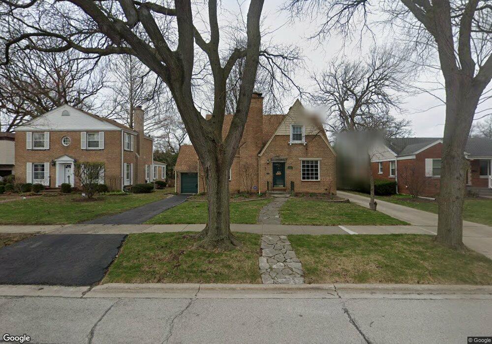
7926 Long Ave Morton Grove, IL 60053
Southwest Skokie NeighborhoodEstimated Value: $483,000 - $557,000
4
Beds
3
Baths
1,793
Sq Ft
$290/Sq Ft
Est. Value
About This Home
This home is located at 7926 Long Ave, Morton Grove, IL 60053 and is currently estimated at $519,245, approximately $289 per square foot. 7926 Long Ave is a home located in Cook County with nearby schools including Madison Elementary School, Thomas Edison Elementary School, and Lincoln Junior High School.
Ownership History
Date
Name
Owned For
Owner Type
Purchase Details
Closed on
Sep 13, 2017
Sold by
Roberts Charles and Roberts Marianne
Bought by
Roberts Charles M and The Charles M Roberts Revocable Living T
Current Estimated Value
Purchase Details
Closed on
Jul 21, 1999
Sold by
Anderson Mark W and Anderson Melissa V
Bought by
Anderson Mark W
Home Financials for this Owner
Home Financials are based on the most recent Mortgage that was taken out on this home.
Original Mortgage
$197,700
Interest Rate
6.87%
Purchase Details
Closed on
Apr 11, 1994
Sold by
Tanaka Mary T
Bought by
Anderson Mark W and Anderson Melissa V
Home Financials for this Owner
Home Financials are based on the most recent Mortgage that was taken out on this home.
Original Mortgage
$166,500
Interest Rate
6.5%
Create a Home Valuation Report for This Property
The Home Valuation Report is an in-depth analysis detailing your home's value as well as a comparison with similar homes in the area
Home Values in the Area
Average Home Value in this Area
Purchase History
| Date | Buyer | Sale Price | Title Company |
|---|---|---|---|
| Roberts Charles M | -- | Attorney | |
| Anderson Mark W | -- | Stewart Title Guaranty Compa | |
| Anderson Mark W | $123,333 | Intercounty Title |
Source: Public Records
Mortgage History
| Date | Status | Borrower | Loan Amount |
|---|---|---|---|
| Previous Owner | Anderson Mark W | $197,700 | |
| Previous Owner | Anderson Mark W | $166,500 |
Source: Public Records
Tax History Compared to Growth
Tax History
| Year | Tax Paid | Tax Assessment Tax Assessment Total Assessment is a certain percentage of the fair market value that is determined by local assessors to be the total taxable value of land and additions on the property. | Land | Improvement |
|---|---|---|---|---|
| 2024 | $5,831 | $19,335 | $4,875 | $14,460 |
| 2023 | $6,190 | $19,335 | $4,875 | $14,460 |
| 2022 | $6,190 | $20,686 | $4,875 | $15,811 |
| 2021 | $4,991 | $14,830 | $3,000 | $11,830 |
| 2020 | $4,981 | $14,830 | $3,000 | $11,830 |
| 2019 | $5,017 | $16,664 | $3,000 | $13,664 |
| 2018 | $5,746 | $17,028 | $2,718 | $14,310 |
| 2017 | $6,189 | $18,143 | $2,718 | $15,425 |
| 2016 | $5,966 | $18,143 | $2,718 | $15,425 |
| 2015 | $5,030 | $14,804 | $2,343 | $12,461 |
| 2014 | $4,940 | $14,804 | $2,343 | $12,461 |
| 2013 | $5,137 | $15,305 | $2,343 | $12,962 |
Source: Public Records
Map
Nearby Homes
- 5505 Oakton St
- 5251 Galitz St Unit 410
- 5251 Galitz St Unit 311
- 5501 Mulford St
- 5261 Mulford St
- 5500 Harvard Terrace
- 8128 Laramie Ave
- 7848 Lincoln Ave
- 5148 Cleveland St
- 5153 Dobson St
- 4953 Oakton St Unit 510
- 4953 Oakton St Unit P11
- 4953 Oakton St Unit 207
- 8306 Central Ave
- 5000 Oakton St Unit 505
- 7507 Frontage Rd
- 8232 Niles Center Rd Unit 317
- 8232 Niles Center Rd Unit 304
- 8232 Niles Center Rd Unit 202
- 7500 Laramie Ave