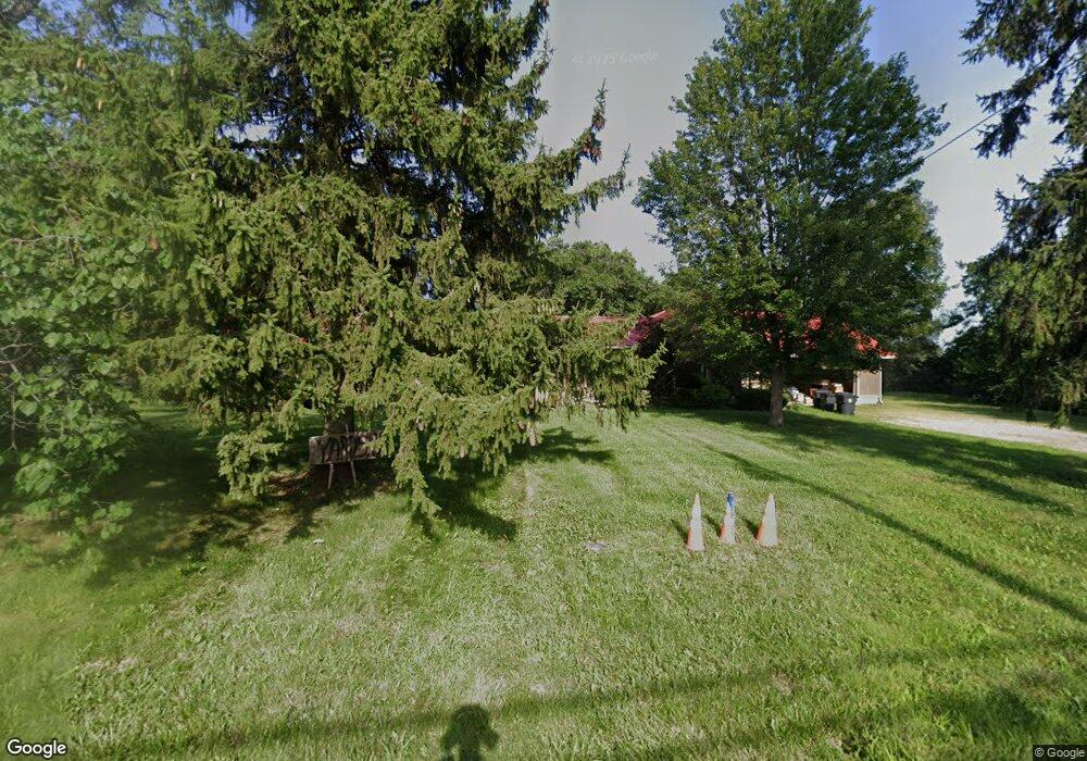
7926 Normandy Ln Dayton, OH 45459
Estimated Value: $382,000 - $616,391
4
Beds
5
Baths
4,212
Sq Ft
$129/Sq Ft
Est. Value
About This Home
This home is located at 7926 Normandy Ln, Dayton, OH 45459 and is currently estimated at $543,598, approximately $129 per square foot. 7926 Normandy Ln is a home located in Montgomery County with nearby schools including Primary Village North, Stingley Elementary School, and Tower Heights Middle School.
Ownership History
Date
Name
Owned For
Owner Type
Purchase Details
Closed on
Oct 9, 1998
Sold by
Vegso Edward S and Vegso Joelle W
Bought by
Vegso Edward S and Vegso Joelle W
Current Estimated Value
Purchase Details
Closed on
May 22, 1998
Sold by
Vegso Edward S and Vegso Edward
Bought by
Vegso Edward S and Vegso Joelle W
Create a Home Valuation Report for This Property
The Home Valuation Report is an in-depth analysis detailing your home's value as well as a comparison with similar homes in the area
Home Values in the Area
Average Home Value in this Area
Purchase History
| Date | Buyer | Sale Price | Title Company |
|---|---|---|---|
| Vegso Edward S | -- | -- | |
| Vegso Edward S | -- | Ati Title Agency Of Ohio Inc |
Source: Public Records
Tax History Compared to Growth
Tax History
| Year | Tax Paid | Tax Assessment Tax Assessment Total Assessment is a certain percentage of the fair market value that is determined by local assessors to be the total taxable value of land and additions on the property. | Land | Improvement |
|---|---|---|---|---|
| 2024 | $9,235 | $168,260 | $33,770 | $134,490 |
| 2023 | $9,235 | $168,260 | $33,770 | $134,490 |
| 2022 | $8,620 | $126,510 | $25,390 | $101,120 |
| 2021 | $9,244 | $126,510 | $25,390 | $101,120 |
| 2020 | $8,627 | $126,510 | $25,390 | $101,120 |
| 2019 | $8,450 | $111,780 | $21,170 | $90,610 |
| 2018 | $7,488 | $111,780 | $21,170 | $90,610 |
| 2017 | $7,401 | $111,780 | $21,170 | $90,610 |
| 2016 | $7,148 | $102,650 | $21,170 | $81,480 |
| 2015 | $7,377 | $102,650 | $21,170 | $81,480 |
| 2014 | $7,377 | $102,650 | $21,170 | $81,480 |
| 2012 | -- | $88,750 | $16,310 | $72,440 |
Source: Public Records
Map
Nearby Homes
- 20 Gershwin Dr
- 7687 Normandy Ln
- 7767 Brams Hill Dr Unit 7767
- 51 Winchester (#E) Place
- 210 Anton Ct
- 59 Wythe Parish St Unit 4
- 284 Tauber Dr
- 170 S Main St Unit C
- 155 Bristol Dr
- 325 Annette Dr
- 8030 Paragon Rd
- 8370 Paragon Rd
- 40 Cemetery Dr
- 140 Mallard Glen Dr Unit 3
- 7853 Betsy Ross Cir Unit 11
- 8749 Shadycreek Dr Unit 8751
- 8760 Shadycreek Dr Unit 8758
- 121 Woodfield Place
- 129 Bradstreet Rd
- 85 Poinciana Dr
- 7950 Normandy Ln
- 234 W Ridgeway Dr
- 251 W Ridgeway Dr
- 7939 Normandy Ln
- 235 W Franklin St
- 231 W Ridgeway Dr
- 7883 Normandy Ln
- 214 W Ridgeway Dr
- 7880 Normandy Ln
- 209 W Franklin St
- 211 W Ridgeway Dr
- 252 W Franklin St
- 203 W Franklin St
- 7850 Normandy Ln
- 262 W Franklin St
- 7845 Normandy Ln
- 7848 Normandy Ln
- 192 W Ridgeway Dr
- 201 W Franklin St
- 225 Davis Rd