Estimated Value: $343,093 - $459,000
Studio
2
Baths
1,409
Sq Ft
$293/Sq Ft
Est. Value
About This Home
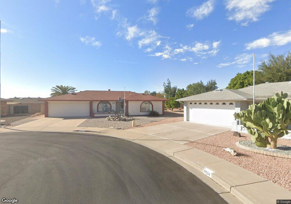
This home is located at 7928 E Lindner Cir, Mesa, AZ 85209 and is currently estimated at $412,273, approximately $292 per square foot. 7928 E Lindner Cir is a home located in Maricopa County with nearby schools including Boulder Creek Elementary School, Desert Ridge Jr. High School, and Desert Ridge High School.
Ownership History
Date
Name
Owned For
Owner Type
Purchase Details
Closed on
Nov 23, 2021
Sold by
Evans Robert D
Bought by
Evans Family Revocable Living Trust and Evans
Current Estimated Value
Purchase Details
Closed on
Apr 9, 2010
Sold by
Lampton Leonard and Lampton Elaine
Bought by
Evans Robert D and Evans Phyllis J
Purchase Details
Closed on
Dec 30, 1994
Sold by
Powell C Eileen
Bought by
Lampton Leonard and Lampton Elaine
Create a Home Valuation Report for This Property
The Home Valuation Report is an in-depth analysis detailing your home's value as well as a comparison with similar homes in the area
Purchase History
| Date | Buyer | Sale Price | Title Company |
|---|---|---|---|
| Evans Family Revocable Living Trust | -- | -- | |
| Evans Robert D | $155,900 | Guaranty Title Agency | |
| Lampton Leonard | $103,000 | Transamerica Title Ins Co |
Source: Public Records
Tax History
| Year | Tax Paid | Tax Assessment Tax Assessment Total Assessment is a certain percentage of the fair market value that is determined by local assessors to be the total taxable value of land and additions on the property. | Land | Improvement |
|---|---|---|---|---|
| 2025 | $1,638 | $22,115 | -- | -- |
| 2024 | $1,589 | $21,062 | -- | -- |
| 2023 | $1,589 | $26,830 | $5,360 | $21,470 |
| 2022 | $1,551 | $22,660 | $4,530 | $18,130 |
| 2021 | $1,680 | $20,600 | $4,120 | $16,480 |
| 2020 | $1,650 | $18,410 | $3,680 | $14,730 |
| 2019 | $1,529 | $17,000 | $3,400 | $13,600 |
| 2018 | $1,456 | $16,260 | $3,250 | $13,010 |
| 2017 | $1,410 | $15,930 | $3,180 | $12,750 |
| 2016 | $1,462 | $14,870 | $2,970 | $11,900 |
| 2015 | $1,341 | $14,410 | $2,880 | $11,530 |
Source: Public Records
Map
Nearby Homes
- 2064 S Farnsworth Dr Unit 32
- 2064 S Farnsworth Dr Unit 101
- 2064 S Farnsworth Dr Unit 72
- 2064 S Farnsworth Dr Unit 98
- 2064 S Farnsworth Dr Unit 73
- 2064 S Farnsworth Dr Unit 60
- 2064 S Farnsworth Dr Unit 41
- 7838 E Kiowa Ave
- 7822 E Lindner Ave
- 7950 E Keats Ave Unit 148
- 7950 E Keats Ave Unit 194
- 7950 E Keats Ave Unit 229
- 7820 E Baseline Rd Unit 107
- 7820 E Baseline Rd Unit 103
- 7803 E Kiowa Ave
- 8021 E Keats Ave Unit 248
- 2311 S Farnsworth Dr Unit 94
- 2311 S Farnsworth Dr Unit 105
- 2311 S Farnsworth Dr Unit 85
- 8020 E Keats Ave Unit 269
- 7934 E Lindner Cir
- 2115 S Gladiolus
- 7931 E Lindner Cir
- 2127 S Gladiolus
- 7926 E Lindner Ave
- 7940 E Lindner Cir
- 7937 E Lindner Cir
- 7937 E Lindner Cir
- 2139 S Gladiolus
- 7943 E Lindner Cir
- 7920 E Lindner Ave
- 7917 E Lindner Ave
- 2147 S Gladiolus
- 7938 E Kiowa Cir Unit me
- 7938 E Kiowa Cir
- 7930 E Kiowa Cir
- 7949 E Lindner Cir
- 7956 E Lindner Cir
- 2064 S Farnsworth Dr Unit 22
- 2064 S Farnsworth Dr Unit 95
Your Personal Tour Guide
Ask me questions while you tour the home.