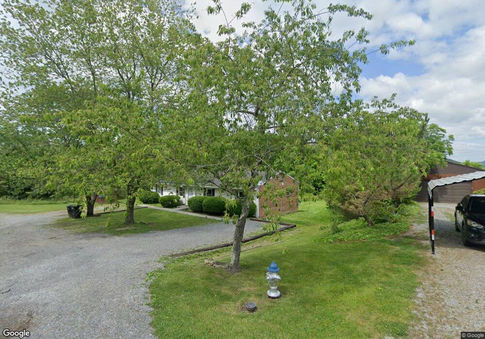
7929 Carvin St Unit 7933 Roanoke, VA 24019
Estimated Value: $263,647 - $692,000
4
Beds
2
Baths
1,624
Sq Ft
$231/Sq Ft
Est. Value
About This Home
This home is located at 7929 Carvin St Unit 7933, Roanoke, VA 24019 and is currently estimated at $375,162, approximately $231 per square foot. 7929 Carvin St Unit 7933 is a home located in Roanoke County with nearby schools including Burlington Elementary School, Northside Middle School, and Northside High School.
Create a Home Valuation Report for This Property
The Home Valuation Report is an in-depth analysis detailing your home's value as well as a comparison with similar homes in the area
Home Values in the Area
Average Home Value in this Area
Tax History Compared to Growth
Tax History
| Year | Tax Paid | Tax Assessment Tax Assessment Total Assessment is a certain percentage of the fair market value that is determined by local assessors to be the total taxable value of land and additions on the property. | Land | Improvement |
|---|---|---|---|---|
| 2025 | $2,104 | $204,300 | $50,000 | $154,300 |
| 2024 | $1,942 | $186,700 | $45,000 | $141,700 |
| 2023 | $1,903 | $179,500 | $45,000 | $134,500 |
| 2022 | $1,728 | $158,500 | $42,000 | $116,500 |
| 2021 | $1,734 | $159,100 | $42,000 | $117,100 |
| 2020 | $1,637 | $150,200 | $32,800 | $117,400 |
| 2019 | $1,562 | $143,300 | $32,800 | $110,500 |
| 2018 | $1,473 | $138,800 | $32,800 | $106,000 |
| 2017 | $1,473 | $135,100 | $31,800 | $103,300 |
| 2016 | $1,468 | $134,700 | $31,400 | $103,300 |
| 2015 | $1,454 | $133,400 | $31,400 | $102,000 |
| 2014 | $1,427 | $130,900 | $31,400 | $99,500 |
Source: Public Records
Map
Nearby Homes
- 7009 Tinkerdale Rd
- 210 Post Rd
- 252 Knoll Rd
- 8212 Loman Dr
- 7522 New Barrens Ct
- 7044 Irondale Cir
- 6510 Brookfield Rd
- 1121 Nover Ave
- 0 Chester Dr
- 1141 Starmount Ave
- 7303 Norman St
- 518 Boxley Rd
- 328 Boxley Rd
- 8355 Leighburn Dr
- 427 Boxley Rd
- 5921 Buckland Mill Rd
- 8356 Leighburn Dr
- 5877 Buckland Mill Rd
- 7323 La Marre Cir
- 7116 Peyton St
- 7933 Carvin St
- 7930 Carvin St
- 7909 Carvin St
- 7920 Carvin St
- 7903 Carvin St
- 7922 Plantation Rd
- 7904 Carvin St
- 7944 Plantation Rd
- 7850 Plantation Rd
- 8016 Plantation Rd
- 7860 Plantation Rd
- 8022 Plantation Rd
- 7820 Carvin St
- 7806 Plantation Rd
- 8110 Gander Way
- 7432 Walrond Dr
- 7404 Walrond Dr
- 7515 Friendship Ln
- 7515 Friendship Ln Unit & 7517
- 7871 Enon Dr