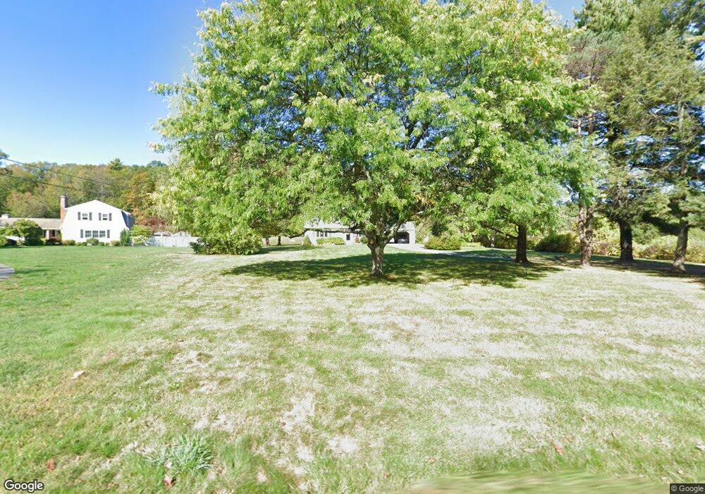
793 George Hill Rd Lancaster, MA 01523
Estimated Value: $731,850 - $766,000
3
Beds
3
Baths
2,298
Sq Ft
$328/Sq Ft
Est. Value
About This Home
This home is located at 793 George Hill Rd, Lancaster, MA 01523 and is currently estimated at $753,963, approximately $328 per square foot. 793 George Hill Rd is a home located in Worcester County with nearby schools including Mary Rowlandson Elementary School, Luther Burbank Middle School, and Nashoba Regional High School.
Ownership History
Date
Name
Owned For
Owner Type
Purchase Details
Closed on
Mar 17, 2004
Sold by
Petersen Elizabeth A and Turner Richard W
Bought by
Vanasse David B and Vanasse Pamela A
Current Estimated Value
Home Financials for this Owner
Home Financials are based on the most recent Mortgage that was taken out on this home.
Original Mortgage
$328,800
Outstanding Balance
$154,097
Interest Rate
5.71%
Mortgage Type
Purchase Money Mortgage
Estimated Equity
$599,866
Create a Home Valuation Report for This Property
The Home Valuation Report is an in-depth analysis detailing your home's value as well as a comparison with similar homes in the area
Home Values in the Area
Average Home Value in this Area
Purchase History
| Date | Buyer | Sale Price | Title Company |
|---|---|---|---|
| Vanasse David B | $411,000 | -- |
Source: Public Records
Mortgage History
| Date | Status | Borrower | Loan Amount |
|---|---|---|---|
| Open | Vanasse David B | $328,800 |
Source: Public Records
Tax History Compared to Growth
Tax History
| Year | Tax Paid | Tax Assessment Tax Assessment Total Assessment is a certain percentage of the fair market value that is determined by local assessors to be the total taxable value of land and additions on the property. | Land | Improvement |
|---|---|---|---|---|
| 2025 | $10,438 | $645,900 | $159,800 | $486,100 |
| 2024 | $10,359 | $593,300 | $159,800 | $433,500 |
| 2023 | $9,554 | $555,800 | $141,000 | $414,800 |
| 2022 | $9,272 | $476,700 | $140,200 | $336,500 |
| 2021 | $9,205 | $460,700 | $140,200 | $320,500 |
| 2020 | $8,835 | $445,100 | $140,100 | $305,000 |
| 2019 | $8,498 | $430,300 | $140,100 | $290,200 |
| 2018 | $7,499 | $410,600 | $140,100 | $270,500 |
| 2016 | $7,537 | $385,500 | $138,700 | $246,800 |
| 2015 | $7,193 | $383,400 | $138,700 | $244,700 |
| 2014 | $6,893 | $364,500 | $138,700 | $225,800 |
Source: Public Records
Map
Nearby Homes
- 1116 George Hill Rd
- 85 Prescott St
- 0 Brockelman Rd Unit 73424117
- 54 S Meadow Rd
- 23 Bennett Ln
- 29 Bennett Ln
- 92 Mill St
- 0 Parker Rd
- 290 Sterling St
- 136 Mill St
- 132 Kilbourn Rd
- 19 Magnolia Ave
- 765 Brockelman Road Lot C
- 76 Sterling St
- 96 Clinton Rd
- 20 Willow St
- 121 &125 Flanagan Hill Rd
- 453 Blue Heron Dr Unit 453
- 22 Forest Ave
- 201-203 Stone St
- 805 George Hill Rd
- 794 George Hill Rd
- 774 George Hill Rd
- 750 George Hill Rd
- 719 George Hill Rd
- 62 Hawthorne Ln Unit Lot 9
- 717 George Hill Rd
- 748 George Hill Rd
- 40 Hilltop Rd
- 122 Hilltop Rd
- 731 George Hill Rd
- 703 George Hill Rd
- 712 George Hill Rd
- 701 George Hill Rd
- 861 George Hill Rd
- 60 Hawthorne Ln Unit Lot 10
- 420 Nicholas Dr
- 420 Nicholas Dr (Lot 67)
- 53 Hawthorne Ln Unit Lot 8
- 414 Nicholas Dr