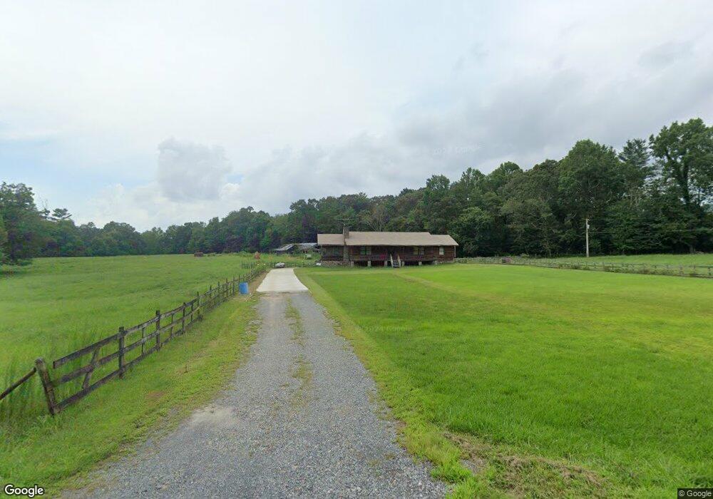
793 Roy Rd Ellijay, GA 30536
Estimated Value: $369,000 - $741,000
3
Beds
2
Baths
1,656
Sq Ft
$295/Sq Ft
Est. Value
About This Home
This home is located at 793 Roy Rd, Ellijay, GA 30536 and is currently estimated at $488,042, approximately $294 per square foot. 793 Roy Rd is a home located in Gilmer County with nearby schools including Ellijay Elementary School, Clear Creek Elementary School, and Clear Creek Middle School.
Ownership History
Date
Name
Owned For
Owner Type
Purchase Details
Closed on
Oct 25, 2006
Sold by
Mcarthur Lloyd William
Bought by
Mcarthur Gwendolyn J
Current Estimated Value
Purchase Details
Closed on
Feb 20, 2004
Sold by
Mcarthur Gwendolyn J
Bought by
Mcarthur Gwendolyn J and Lloyd Willi
Purchase Details
Closed on
Aug 1, 1978
Bought by
Mcarthur Gwendolyn J
Purchase Details
Closed on
May 1, 1974
Bought by
Mcarthur Gwendolyn J
Purchase Details
Closed on
Aug 1, 1973
Bought by
Mcarthur Gwendolyn J
Create a Home Valuation Report for This Property
The Home Valuation Report is an in-depth analysis detailing your home's value as well as a comparison with similar homes in the area
Home Values in the Area
Average Home Value in this Area
Purchase History
| Date | Buyer | Sale Price | Title Company |
|---|---|---|---|
| Mcarthur Gwendolyn J | -- | -- | |
| Mcarthur Gwendolyn J | -- | -- | |
| Mcarthur Gwendolyn J | -- | -- | |
| Mcarthur Gwendolyn J | -- | -- | |
| Mcarthur Gwendolyn J | -- | -- |
Source: Public Records
Tax History Compared to Growth
Tax History
| Year | Tax Paid | Tax Assessment Tax Assessment Total Assessment is a certain percentage of the fair market value that is determined by local assessors to be the total taxable value of land and additions on the property. | Land | Improvement |
|---|---|---|---|---|
| 2025 | $365 | $125,488 | $50,600 | $74,888 |
| 2024 | $365 | $125,808 | $49,280 | $76,528 |
| 2023 | $376 | $115,408 | $38,880 | $76,528 |
| 2022 | $391 | $101,408 | $36,240 | $65,168 |
| 2021 | $1,492 | $86,368 | $36,240 | $50,128 |
| 2020 | $1,582 | $81,264 | $36,240 | $45,024 |
| 2019 | $928 | $77,344 | $32,320 | $45,024 |
| 2018 | $902 | $86,904 | $37,640 | $49,264 |
| 2017 | $766 | $79,856 | $41,840 | $38,016 |
| 2016 | $724 | $65,796 | $34,840 | $30,956 |
| 2015 | $567 | $81,336 | $50,800 | $30,536 |
| 2014 | $637 | $81,824 | $50,800 | $31,024 |
| 2013 | -- | $82,972 | $50,800 | $32,172 |
Source: Public Records
Map
Nearby Homes
- Lot 10 Cartecay River Run
- LOT 39 Preserve Trail
- LOT 40 Preserve Trail
- 418 Cartecay River Run
- 418 Cartecay River Run Unit 20
- 450 Cartecay River Run Unit 18
- 450 Cartecay River Run
- 1614 Roy Rd
- 2001 Big Creek Rd
- 48 Riverwood Trail
- 446 Riverwood Rd
- 439 Buck Creek Rd Lt 34
- 140 Robert Dr
- Lot 9 Cherokee Cir Unit 9
- Lot 9 Cherokee Cir
- Lot 58 Cherokee Cir
- Lot 10 Cherokee Cir Unit 10
- Lot 10 Cherokee Cir
- LOT 6 Black Bear Ridge Rd
- 18 ACRES S Pineypur Rd S Unit TR 24
- 999 Roy Rd
- 107 Simmons Dr
- 774 Roy Rd
- 776 Roy Rd
- 593 Roy Rd
- 890 Roy Rd
- 1033 Roy Rd
- 11.51 AC Old Burnt Mt Rd
- 96 Riverwood Place
- 67 Riverwood Place
- 990 Roy Rd
- 60 Riverwood Place
- 56 Richards Dr
- 45 Riverwood Place
- 155 Simmons Dr
- 65 Richards Dr
- 76 Cartecay River Run
- 39 Riverwood Place
- 118 Richards Dr
- 22 Cartecay River Run