793 Sandy River Rd Norridgewock, ME 04957
Estimated Value: $267,000 - $375,000
--
Bed
1
Bath
1,512
Sq Ft
$204/Sq Ft
Est. Value
About This Home
This home is located at 793 Sandy River Rd, Norridgewock, ME 04957 and is currently estimated at $308,259, approximately $203 per square foot. 793 Sandy River Rd is a home.
Ownership History
Date
Name
Owned For
Owner Type
Purchase Details
Closed on
Jul 17, 2020
Sold by
Jellison Leland
Bought by
Jellison Kimberly M and Jellison Leland G
Current Estimated Value
Home Financials for this Owner
Home Financials are based on the most recent Mortgage that was taken out on this home.
Original Mortgage
$80,000
Outstanding Balance
$71,070
Interest Rate
3.2%
Mortgage Type
Stand Alone Refi Refinance Of Original Loan
Estimated Equity
$237,189
Create a Home Valuation Report for This Property
The Home Valuation Report is an in-depth analysis detailing your home's value as well as a comparison with similar homes in the area
Home Values in the Area
Average Home Value in this Area
Purchase History
| Date | Buyer | Sale Price | Title Company |
|---|---|---|---|
| Jellison Kimberly M | -- | None Available | |
| Jellison Kimberly M | -- | None Available |
Source: Public Records
Mortgage History
| Date | Status | Borrower | Loan Amount |
|---|---|---|---|
| Open | Jellison Kimberly M | $80,000 | |
| Closed | Jellison Kimberly M | $80,000 |
Source: Public Records
Tax History Compared to Growth
Tax History
| Year | Tax Paid | Tax Assessment Tax Assessment Total Assessment is a certain percentage of the fair market value that is determined by local assessors to be the total taxable value of land and additions on the property. | Land | Improvement |
|---|---|---|---|---|
| 2024 | $2,343 | $226,400 | $57,500 | $168,900 |
| 2023 | $2,291 | $188,600 | $47,800 | $140,800 |
| 2022 | $1,989 | $170,700 | $43,400 | $127,300 |
| 2021 | $2,262 | $170,700 | $43,400 | $127,300 |
| 2020 | $1,517 | $155,400 | $43,400 | $112,000 |
| 2019 | $2,098 | $155,400 | $43,400 | $112,000 |
| 2018 | $2,098 | $155,400 | $43,400 | $112,000 |
| 2017 | $2,090 | $155,400 | $43,400 | $112,000 |
| 2016 | $1,770 | $83,500 | $18,200 | $65,300 |
| 2015 | $1,787 | $83,500 | $18,200 | $65,300 |
| 2014 | $1,774 | $83,500 | $18,200 | $65,300 |
Source: Public Records
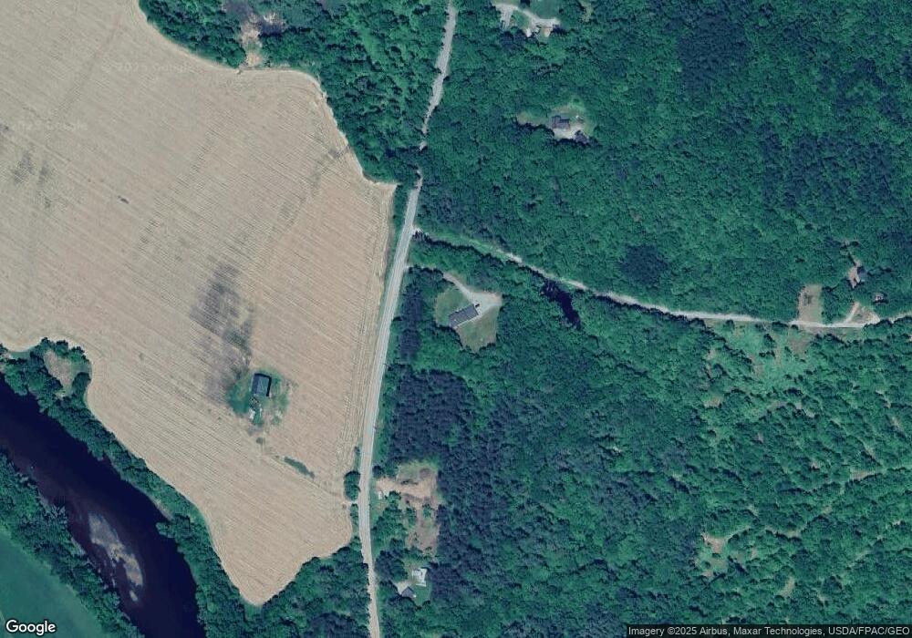
Map
Nearby Homes
- 862 Anson Rd
- Lot 2-1 Father Rasle Rd
- M6 L40-6 Bombazee Rd
- 75 Colby Bryant Rd
- M10 L12 Yeaton Island
- 24 Locust St
- 11 Ash St
- 0000 Winter St
- 94 Old Point Ave
- 9 Spring St
- 62 Old Point Ave
- 157 Bradley Ln
- M19 L57-58 Old Point Ave
- P/O M2 L31 Walker Rd
- 12 Jones St
- 8 Magnolia Ln
- 23 Heald Rd
- 21 Young St
- 8 Brook St
- Lot 86 Maxim St
- 797 Sandy River Rd
- 811 Sandy River Rd
- 719 Sandy River Rd
- 755 Sandy River Rd
- 823 Sandy River Rd
- 739 Sandy River Rd
- 13 Waugh Rd
- 94 Waugh Rd
- 52 Lynds Rd
- 958 Winding Hill Rd
- 962 Winding Hill Rd
- 950 Winding Hill Rd
- 920 Winding Hill Rd
- 916 Winding Hill Rd
- 904 Winding Hill Rd
- 880 Winding Hill Rd
- 888 Winding Hill Rd
- 118 Fording Rd
- 0 Waugh Rd
- 36 Fording Rd