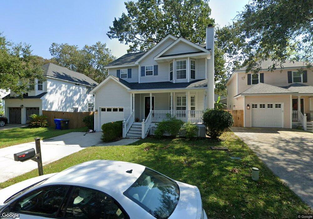
793 Shell Sand Cir Charleston, SC 29412
James Island NeighborhoodEstimated Value: $594,000 - $681,000
3
Beds
3
Baths
1,600
Sq Ft
$389/Sq Ft
Est. Value
About This Home
This home is located at 793 Shell Sand Cir, Charleston, SC 29412 and is currently estimated at $622,257, approximately $388 per square foot. 793 Shell Sand Cir is a home located in Charleston County with nearby schools including Harbor View Elementary School, Camp Road Middle, and Charleston Development Academy.
Ownership History
Date
Name
Owned For
Owner Type
Purchase Details
Closed on
Jul 19, 2022
Sold by
Griner Benjamin P
Bought by
Griner Development Llc
Current Estimated Value
Purchase Details
Closed on
Sep 18, 2009
Sold by
Barnes Susan M and Janelle Hayner L
Bought by
Griner Benjamin P
Home Financials for this Owner
Home Financials are based on the most recent Mortgage that was taken out on this home.
Original Mortgage
$214,200
Interest Rate
5.15%
Mortgage Type
New Conventional
Purchase Details
Closed on
Jul 26, 2002
Sold by
Masche Annette M
Bought by
Barnes Susan M and Janelle Hayner L
Create a Home Valuation Report for This Property
The Home Valuation Report is an in-depth analysis detailing your home's value as well as a comparison with similar homes in the area
Home Values in the Area
Average Home Value in this Area
Purchase History
| Date | Buyer | Sale Price | Title Company |
|---|---|---|---|
| Griner Development Llc | -- | -- | |
| Griner Benjamin P | $238,000 | -- | |
| Barnes Susan M | $175,000 | -- |
Source: Public Records
Mortgage History
| Date | Status | Borrower | Loan Amount |
|---|---|---|---|
| Previous Owner | Griner Benjamin P | $214,200 |
Source: Public Records
Tax History Compared to Growth
Tax History
| Year | Tax Paid | Tax Assessment Tax Assessment Total Assessment is a certain percentage of the fair market value that is determined by local assessors to be the total taxable value of land and additions on the property. | Land | Improvement |
|---|---|---|---|---|
| 2024 | $5,141 | $17,600 | $0 | $0 |
| 2023 | $5,141 | $17,600 | $0 | $0 |
| 2022 | $4,746 | $17,600 | $0 | $0 |
| 2021 | $4,688 | $17,600 | $0 | $0 |
| 2020 | $4,654 | $17,600 | $0 | $0 |
| 2019 | $4,257 | $15,310 | $0 | $0 |
| 2017 | $1,379 | $10,210 | $0 | $0 |
| 2016 | $1,323 | $10,210 | $0 | $0 |
| 2015 | $1,367 | $10,210 | $0 | $0 |
| 2014 | $1,199 | $0 | $0 | $0 |
| 2011 | -- | $0 | $0 | $0 |
Source: Public Records
Map
Nearby Homes
- 793 Shell Sand Rd
- 777 Lake Frances Dr
- 825 Shutes Folly Dr
- 713 Lake Frances Dr
- 525 Yellow Tower Terrace
- 975 Harbor View Rd
- 969 Harbor View Rd
- 1077 Harbor View Rd
- 816 Porcari St
- 804 Porcari St
- 1110 Darwin St
- 881 Kushiwah Creek Dr
- 3009 Allison Cove Dr
- 1026 Fort Sumter Dr
- 865 Duvall St
- 924 White Point Blvd
- 965 Mooring Dr
- 1129 Quail Dr
- 897 Kushiwah Creek Ct
- 1149 Quail Dr
- 789 Shell Sand Cir
- 799 Shell Sand Rd
- 799 Shell Sand Cir
- 787 Shell Sand Cir
- 808 Harbor Oaks Dr
- 787 Shell Sand Rd
- 790 Shell Sand Cir
- 806 Harbor Oaks Dr
- 798 Shell Sand Cir
- 1012 Harbor Oaks Dr
- 790 Shell Sand Rd
- 786 Shell Sand Cir
- 783 Shell Sand Cir
- 1010 Harbor Oaks Dr
- 804 Harbor Oaks Dr
- 1008 Harbor Oaks Dr
- 782 Shell Sand Cir
- 773 Shell Sand Cir
- 1006 Harbor Oaks Dr
- 1006 Harbor Oaks Dr Unit 4