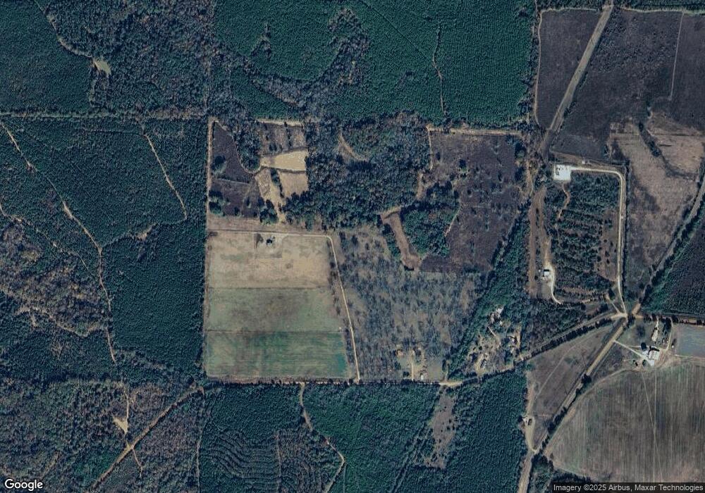
793 Wades Rd Cuthbert, GA 39840
Estimated Value: $217,000 - $1,152,000
3
Beds
2
Baths
1,484
Sq Ft
$349/Sq Ft
Est. Value
About This Home
This home is located at 793 Wades Rd, Cuthbert, GA 39840 and is currently estimated at $518,192, approximately $349 per square foot. 793 Wades Rd is a home located in Randolph County with nearby schools including Randolph County Elementary School, Randolph Clay Middle School, and Randolph Clay High School.
Ownership History
Date
Name
Owned For
Owner Type
Purchase Details
Closed on
Jun 15, 2020
Sold by
Anger Christine Roinestad
Bought by
Pittman Max Peavy and Pittman Amy Leigh
Current Estimated Value
Purchase Details
Closed on
May 26, 2015
Sold by
Roinestad Liane Gisela
Bought by
Roinestad Thomas F and Anger Christine Helen R
Purchase Details
Closed on
Sep 27, 1994
Bought by
Roinestad Liane Gis
Create a Home Valuation Report for This Property
The Home Valuation Report is an in-depth analysis detailing your home's value as well as a comparison with similar homes in the area
Home Values in the Area
Average Home Value in this Area
Purchase History
| Date | Buyer | Sale Price | Title Company |
|---|---|---|---|
| Pittman Max Peavy | $134,878 | -- | |
| Pittman Max Peavy | $134,878 | -- | |
| Pittman Max Peavy | $134,878 | -- | |
| Pittman Max Peavy | $134,878 | -- | |
| Roinestad Thomas F | -- | -- | |
| Roinestad Thomas F | -- | -- | |
| Roinestad Liane Gis | -- | -- | |
| Roinestad Liane Gis | -- | -- |
Source: Public Records
Tax History Compared to Growth
Tax History
| Year | Tax Paid | Tax Assessment Tax Assessment Total Assessment is a certain percentage of the fair market value that is determined by local assessors to be the total taxable value of land and additions on the property. | Land | Improvement |
|---|---|---|---|---|
| 2024 | $2,632 | $108,620 | $82,960 | $25,660 |
| 2023 | $2,290 | $104,540 | $78,880 | $25,660 |
| 2022 | $2,444 | $108,660 | $82,440 | $26,220 |
| 2021 | $2,040 | $93,869 | $78,546 | $15,323 |
| 2020 | $2,139 | $98,973 | $83,650 | $15,323 |
| 2019 | $2,087 | $98,973 | $83,650 | $15,323 |
| 2018 | $3,494 | $98,973 | $83,650 | $15,323 |
| 2017 | $1,926 | $98,973 | $83,650 | $15,323 |
| 2016 | $1,894 | $103,681 | $88,358 | $15,323 |
| 2015 | -- | $103,681 | $88,358 | $15,323 |
| 2014 | -- | $102,500 | $88,358 | $14,142 |
| 2013 | -- | $102,500 | $88,357 | $14,142 |
Source: Public Records
Map
Nearby Homes
- 173 W Lake Dr
- XX2 Us-27
- 365 Highland Ave
- 349 Highland Ave
- XX1 US 27
- 109 Cattle Gap Rd
- 242 Lumpkin St
- 0 Cattle Gap Rd
- 3649 Benevolence Hwy
- 886 Mounds Rd
- 6605 Pearl St
- 396 Hood St
- 0 District Line Rd Unit 10518137
- Pierce Rd
- 3833 US Highway 82
- 0 County Line Rd
- 0 Carver St
- 48 Cheney St
- 2055 Payne Pond Rd
- 3109 Calhoun St