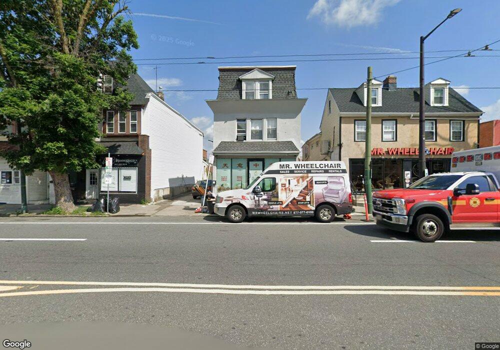
7930 Frankford Ave Philadelphia, PA 19136
Mayfair Neighborhood
--
Bed
--
Bath
2,718
Sq Ft
5,663
Sq Ft Lot
About This Home
This home is located at 7930 Frankford Ave, Philadelphia, PA 19136. 7930 Frankford Ave is a home located in Philadelphia County with nearby schools including Lincoln High School, Meehan Austin Middle School, and New Foundations Charter School.
Ownership History
Date
Name
Owned For
Owner Type
Purchase Details
Closed on
Jun 4, 2019
Sold by
Hoffman Anthony and Urlic Kathleen
Bought by
Lin & Sc Llc
Purchase Details
Closed on
Jan 28, 2011
Sold by
Ulrick Charles W and Ulrick Kathleen
Bought by
Hoffman Anthony
Home Financials for this Owner
Home Financials are based on the most recent Mortgage that was taken out on this home.
Original Mortgage
$250,000
Interest Rate
4.75%
Mortgage Type
Seller Take Back
Purchase Details
Closed on
Sep 7, 2000
Sold by
Turner Alice E
Bought by
Ulrick Charles W and Ulrick Kathleen
Create a Home Valuation Report for This Property
The Home Valuation Report is an in-depth analysis detailing your home's value as well as a comparison with similar homes in the area
Home Values in the Area
Average Home Value in this Area
Purchase History
| Date | Buyer | Sale Price | Title Company |
|---|---|---|---|
| Lin & Sc Llc | $275,000 | None Available | |
| Hoffman Anthony | $350,000 | None Available | |
| Ulrick Charles W | $47,746 | -- |
Source: Public Records
Mortgage History
| Date | Status | Borrower | Loan Amount |
|---|---|---|---|
| Previous Owner | Hoffman Anthony | $250,000 |
Source: Public Records
Tax History Compared to Growth
Tax History
| Year | Tax Paid | Tax Assessment Tax Assessment Total Assessment is a certain percentage of the fair market value that is determined by local assessors to be the total taxable value of land and additions on the property. | Land | Improvement |
|---|---|---|---|---|
| 2026 | $3,305 | $298,200 | $59,640 | $238,560 |
| 2025 | $3,305 | $298,200 | $59,640 | $238,560 |
| 2024 | $3,305 | $298,200 | $59,640 | $238,560 |
| 2023 | $3,305 | $236,100 | $47,220 | $188,880 |
| 2022 | $3,658 | $236,100 | $47,220 | $188,880 |
| 2021 | $3,658 | $0 | $0 | $0 |
| 2020 | $3,658 | $0 | $0 | $0 |
| 2019 | $3,623 | $0 | $0 | $0 |
| 2018 | $3,518 | $0 | $0 | $0 |
| 2017 | $2,394 | $0 | $0 | $0 |
| 2016 | $2,394 | $0 | $0 | $0 |
| 2015 | $2,291 | $0 | $0 | $0 |
| 2014 | -- | $171,000 | $82,200 | $88,800 |
| 2012 | -- | $14,784 | $7,459 | $7,325 |
Source: Public Records
Map
Nearby Homes
- 4016 Decatur St
- 3438 Decatur St
- 4203 Hartel Ave
- 4228 Rhawn St
- 8056 Erdrick St
- 4243 Frost St
- 4246 Rhawn St
- 8072 Erdrick St
- 4128 Welsh Rd
- 8011 Crispin St
- 3526 Welsh Rd
- 4228 Hartel Ave
- 3556 Meridian St
- 3414 Hartel Ave
- 4314 Rhawn St
- 4224 Chippendale Ave
- 3405 Sheffield St
- 4243 Chippendale St
- 4301 Chippendale Ave
- 3528 Chippendale Ave
- 7930 UNIT B Frankford Ave
- 7930 Frankford Ave Unit B
- 7930 Frankford Ave Unit A
- 7930 UNIT A Frankford Ave
- 7932 Frankford Ave
- 7926 Frankford Ave Unit 1R
- 7926 Frankford Ave Unit R
- 7934 Frankford Ave
- 7932-7934 Frankford Ave
- 7938-40 Frankford Ave
- 7938 Frankford Ave
- 7938 40 Frankford Ave
- 7920-22 Frankford Ave
- 7920 Frankford Ave
- 3628 Rhawn St
- 7942 Frankford Ave
- 7912 Frankford Ave
- 7923 Craig St
- 7921 Craig St
- 7919 Craig St