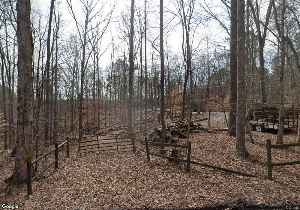
7930 Pooles Mill Dr Unit 1 Ball Ground, GA 30107
Estimated Value: $588,000 - $1,025,000
3
Beds
2
Baths
1,665
Sq Ft
$449/Sq Ft
Est. Value
About This Home
This home is located at 7930 Pooles Mill Dr Unit 1, Ball Ground, GA 30107 and is currently estimated at $748,093, approximately $449 per square foot. 7930 Pooles Mill Dr Unit 1 is a home located in Forsyth County with nearby schools including Poole's Mill Elementary School, Liberty Middle School, and North Forsyth High School.
Ownership History
Date
Name
Owned For
Owner Type
Purchase Details
Closed on
Sep 8, 2004
Sold by
Wells Fargo Bk
Bought by
Emert David L and Emert Mary
Current Estimated Value
Purchase Details
Closed on
Apr 21, 2004
Sold by
Mannion John J
Bought by
Emert David and Emert Mary
Home Financials for this Owner
Home Financials are based on the most recent Mortgage that was taken out on this home.
Original Mortgage
$59,000
Interest Rate
5.36%
Mortgage Type
Credit Line Revolving
Purchase Details
Closed on
Dec 29, 1994
Sold by
Zweigel Nancy
Bought by
Mannion John Katherine
Home Financials for this Owner
Home Financials are based on the most recent Mortgage that was taken out on this home.
Original Mortgage
$170,050
Interest Rate
9.26%
Create a Home Valuation Report for This Property
The Home Valuation Report is an in-depth analysis detailing your home's value as well as a comparison with similar homes in the area
Home Values in the Area
Average Home Value in this Area
Purchase History
| Date | Buyer | Sale Price | Title Company |
|---|---|---|---|
| Emert David L | -- | -- | |
| Emert David | $295,000 | -- | |
| Mannion John Katherine | $179,000 | -- |
Source: Public Records
Mortgage History
| Date | Status | Borrower | Loan Amount |
|---|---|---|---|
| Previous Owner | Emert David | $59,000 | |
| Previous Owner | Mannion John Katherine | $170,050 |
Source: Public Records
Tax History Compared to Growth
Tax History
| Year | Tax Paid | Tax Assessment Tax Assessment Total Assessment is a certain percentage of the fair market value that is determined by local assessors to be the total taxable value of land and additions on the property. | Land | Improvement |
|---|---|---|---|---|
| 2025 | $4,930 | $293,020 | $191,580 | $101,440 |
| 2024 | $4,930 | $241,204 | $143,684 | $97,520 |
| 2023 | $4,635 | $243,496 | $154,736 | $88,760 |
| 2022 | $5,016 | $169,788 | $104,948 | $64,840 |
| 2021 | $4,240 | $169,788 | $104,948 | $64,840 |
| 2020 | $4,166 | $166,188 | $104,948 | $61,240 |
| 2019 | $3,682 | $142,468 | $81,628 | $60,840 |
| 2018 | $3,950 | $154,676 | $106,116 | $48,560 |
| 2017 | $3,637 | $139,128 | $96,008 | $43,120 |
| 2016 | $2,727 | $101,424 | $58,304 | $43,120 |
| 2015 | $2,732 | $101,424 | $58,304 | $43,120 |
| 2014 | $2,196 | $86,244 | $46,644 | $39,600 |
Source: Public Records
Map
Nearby Homes
- 8815 Avonbrook Close
- 8810 Avonbrook Close
- Ingram Plan at Stratford Hills
- Essex Plan at Stratford Hills
- Trenton Plan at Stratford Hills
- Aiken Plan at Stratford Hills
- Easton Plan at Stratford Hills
- Lawrence Plan at Stratford Hills
- Kenwood Plan at Stratford Hills
- Sumner Plan at Stratford Hills
- Kirkwood Plan at Stratford Hills
- 8010 Scudder Way
- 8610 Standing Stone
- 8620 Standing Stone
- 8625 Standing Stone
- 7895 Lords Way
- 8740 Stratford Oaks Ave
- 8910 Champion Ct
- 8730 Stratford Oaks Ave
- 8710 Stratford Oaks Ave
- 7970 Pooles Mill Dr
- 7980 Pooles Mill Dr
- 7885 Pooles Mill Rd
- 7542 Heardsville Cir
- 7925 Pooles Mill Rd
- 7548 Heardsville Cir
- 8000 Pooles Mill Dr
- 7835 Pooles Mill Rd
- 7780 Pooles Mill Rd
- 7780 Pooles Mill Rd
- 7910 Pooles Mill Rd
- 7935 Pooles Mill Rd
- 7554 Heardsville Cir
- 7815 Pooles Mill Rd
- 7840 Lords Way
- 7945 Pooles Mill Rd
- 8030 Pooles Mill Dr
- 7970 Pooles Mill Rd
- 8015 Pooles Mill Dr
- 8685 Matt Hwy
