7931 Thome Rd Fenton, IL 61251
Estimated Value: $150,795 - $263,000
3
Beds
75
Baths
1,328
Sq Ft
$142/Sq Ft
Est. Value
About This Home
This home is located at 7931 Thome Rd, Fenton, IL 61251 and is currently estimated at $188,699, approximately $142 per square foot. 7931 Thome Rd is a home located in Whiteside County with nearby schools including Erie Elementary School, Erie Middle School, and Erie High School.
Ownership History
Date
Name
Owned For
Owner Type
Purchase Details
Closed on
Nov 7, 2008
Sold by
Vandamme Linda Ann
Bought by
Hill Larry D and Hill Sherry A
Current Estimated Value
Purchase Details
Closed on
Jun 29, 2006
Sold by
Redell Kyle W and Redell Beth
Bought by
Eggers Nathan E and Eggers Jennifer M
Home Financials for this Owner
Home Financials are based on the most recent Mortgage that was taken out on this home.
Original Mortgage
$88,000
Interest Rate
6.73%
Mortgage Type
New Conventional
Create a Home Valuation Report for This Property
The Home Valuation Report is an in-depth analysis detailing your home's value as well as a comparison with similar homes in the area
Home Values in the Area
Average Home Value in this Area
Purchase History
| Date | Buyer | Sale Price | Title Company |
|---|---|---|---|
| Hill Larry D | $100,000 | None Available | |
| Eggers Nathan E | $95,000 | None Available |
Source: Public Records
Mortgage History
| Date | Status | Borrower | Loan Amount |
|---|---|---|---|
| Previous Owner | Eggers Nathan E | $88,000 |
Source: Public Records
Tax History Compared to Growth
Tax History
| Year | Tax Paid | Tax Assessment Tax Assessment Total Assessment is a certain percentage of the fair market value that is determined by local assessors to be the total taxable value of land and additions on the property. | Land | Improvement |
|---|---|---|---|---|
| 2024 | $1,931 | $37,288 | $7,398 | $29,890 |
| 2023 | $1,814 | $35,422 | $7,028 | $28,394 |
| 2022 | $1,733 | $33,550 | $6,657 | $26,893 |
| 2021 | $1,687 | $32,359 | $6,421 | $25,938 |
| 2020 | $1,595 | $30,774 | $5,889 | $24,885 |
| 2019 | $1,558 | $30,130 | $5,766 | $24,364 |
| 2018 | $1,520 | $29,556 | $5,656 | $23,900 |
| 2017 | $1,489 | $29,017 | $5,553 | $23,464 |
| 2016 | $1,446 | $28,263 | $5,409 | $22,854 |
| 2015 | $1,521 | $29,376 | $5,622 | $23,754 |
| 2014 | $1,484 | $28,336 | $5,423 | $22,913 |
| 2013 | $1,521 | $29,376 | $5,622 | $23,754 |
Source: Public Records
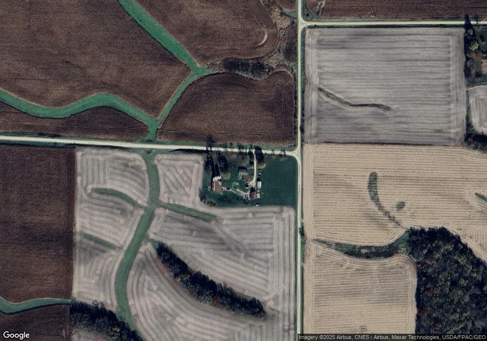
Map
Nearby Homes
- 9304 Ellis Rd
- 12465 Frog Pond Rd
- 5515 Bunker Hill Rd
- 8450 Star Rd
- 6753 Ellis Rd
- 8039 Hazel Rd
- 13600 Kennedy Rd
- 1005 8th St
- 828 Main St
- 904 5th St
- 0 10th Ave S Unit MRD12453347
- Lot 126 Chippewa Trail
- Lot 127 Chippewa Trail
- 0 Illinois 78
- 000 Banks Rd
- Lot 110 Garrett Ave
- Lot 114 Garrett Ave
- Lot 111 Garrett Ave
- Lot 112 Garrett Ave
- Lot 113 Garrett Ave