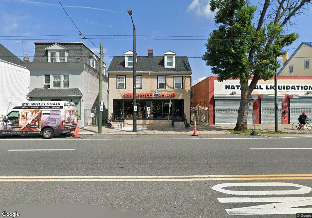
7932-7934 Frankford Ave Philadelphia, PA 19136
Mayfair NeighborhoodEstimated Value: $641,108
4
Beds
1
Bath
4,950
Sq Ft
$130/Sq Ft
Est. Value
About This Home
This home is located at 7932-7934 Frankford Ave, Philadelphia, PA 19136 and is currently priced at $641,108, approximately $129 per square foot. 7932-7934 Frankford Ave is a home located in Philadelphia County with nearby schools including Lincoln High School, Meehan Austin Middle School, and New Foundations Charter School.
Ownership History
Date
Name
Owned For
Owner Type
Purchase Details
Closed on
Feb 14, 2008
Sold by
Ulrick Charles and Smith Donald
Bought by
Sierra Matthew M
Current Estimated Value
Home Financials for this Owner
Home Financials are based on the most recent Mortgage that was taken out on this home.
Original Mortgage
$220,000
Outstanding Balance
$136,242
Interest Rate
5.8%
Mortgage Type
Commercial
Purchase Details
Closed on
Dec 30, 1997
Sold by
Ulrick Charles and Walsh Robert
Bought by
Ulrick Charles and Smith Donald
Create a Home Valuation Report for This Property
The Home Valuation Report is an in-depth analysis detailing your home's value as well as a comparison with similar homes in the area
Home Values in the Area
Average Home Value in this Area
Purchase History
| Date | Buyer | Sale Price | Title Company |
|---|---|---|---|
| Sierra Matthew M | $275,000 | None Available | |
| Ulrick Charles | $26,680 | -- |
Source: Public Records
Mortgage History
| Date | Status | Borrower | Loan Amount |
|---|---|---|---|
| Open | Sierra Matthew M | $220,000 |
Source: Public Records
Tax History Compared to Growth
Tax History
| Year | Tax Paid | Tax Assessment Tax Assessment Total Assessment is a certain percentage of the fair market value that is determined by local assessors to be the total taxable value of land and additions on the property. | Land | Improvement |
|---|---|---|---|---|
| 2026 | $3,511 | $271,500 | $54,300 | $217,200 |
| 2025 | $3,511 | $271,500 | $54,300 | $217,200 |
| 2024 | $3,511 | $271,500 | $54,300 | $217,200 |
| 2023 | $3,511 | $250,800 | $50,160 | $200,640 |
| 2022 | $3,330 | $250,800 | $50,160 | $200,640 |
| 2021 | $3,330 | $0 | $0 | $0 |
| 2020 | $3,330 | $0 | $0 | $0 |
| 2019 | $3,298 | $0 | $0 | $0 |
| 2018 | $3,203 | $0 | $0 | $0 |
| 2017 | $3,953 | $0 | $0 | $0 |
| 2016 | $3,953 | $0 | $0 | $0 |
| 2015 | $3,784 | $0 | $0 | $0 |
| 2014 | -- | $282,400 | $45,754 | $236,646 |
Source: Public Records
Map
Nearby Homes
- 4016 Decatur St
- 4203 Hartel Ave
- 4228 Rhawn St
- 4243 Frost St
- 4246 Rhawn St
- 4228 Hartel Ave
- 3438 Decatur St
- 8056 Erdrick St
- 3556 Meridian St
- 8072 Erdrick St
- 4314 Rhawn St
- 4128 Welsh Rd
- 3414 Hartel Ave
- 8011 Crispin St
- 3526 Welsh Rd
- 4224 Chippendale Ave
- 4243 Chippendale St
- 4301 Chippendale Ave
- 4313 Sheffield Ave
- 4317 Sheffield Ave
- 7934 Frankford Ave
- 7932 Frankford Ave
- 7926 Frankford Ave Unit 1R
- 7926 Frankford Ave Unit R
- 7930 UNIT A Frankford Ave
- 7930 UNIT B Frankford Ave
- 7930 Frankford Ave
- 7930 Frankford Ave Unit B
- 7930 Frankford Ave Unit A
- 3628 Rhawn St
- 7938-40 Frankford Ave
- 7938 Frankford Ave
- 7938 40 Frankford Ave
- 7942 Frankford Ave
- 7943 Frankford Ave
- 7943 Frankford Ave Unit 1st Floor rear
- 7943 Frankford Ave
- 7920-22 Frankford Ave
- 7920 Frankford Ave
- 8002 Frankford Ave